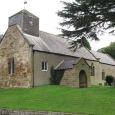
Thirsk, Market town in Hambleton, Great Britain
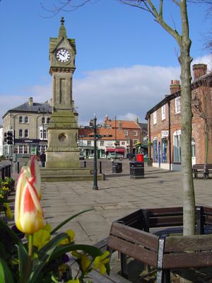
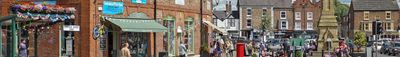
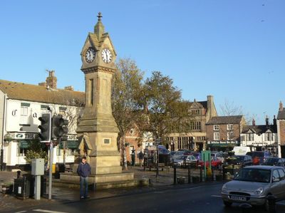
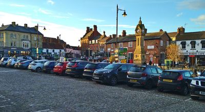
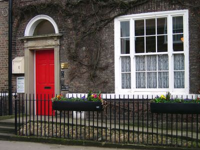
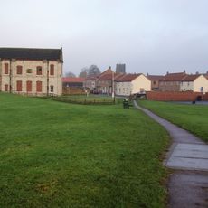
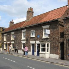
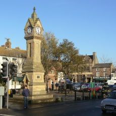
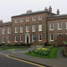
Thirsk is a market town in Hambleton, North Yorkshire, where the center is lined with Georgian and Victorian facades. Cobblestone lanes lead visitors through streets of small shops, inns, and cafés grouped around an open square.
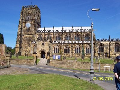
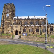
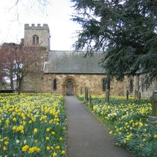
The settlement dates back to the 6th century, when Anglo-Saxon communities populated the region. The name comes from Old Norse and refers to the wetlands that once shaped the surrounding area.
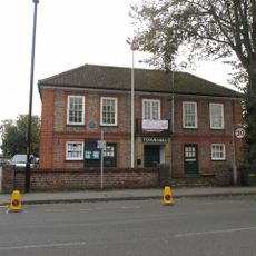
Market days bring traders and locals together in front of period buildings, where fresh produce and handmade goods animate the square. Visitors quickly notice how rural life remains woven into the traditions of this North Yorkshire community.
Visitors find short-term free parking at the Market Place and additional paid spaces at Millgate, including charging points for electric vehicles. Most shops and facilities lie within a few minutes' walk from either location.
The railway station sits on the East Coast Main Line and connects the town several times daily with London, York, and Darlington. Travelers often use this link for excursions into the surrounding Yorkshire Dales.
Location: Hambleton
Website: http://thirsk-tc.gov.uk
GPS coordinates: 54.23273,-1.34205
Latest update: December 11, 2025 23:08
The World of James Herriot
206 m
Church of St Mary
345 m
The Three Tuns
40 m
Thirsk Castle
231 m
St Oswald's Church
726 m
Thirsk Town Hall
232 m
Church of St Wilfrid
2 km
Thirsk Museum
158 m
Market Clock By The Post Office
24 m
Thirsk Library
244 m
Churchyard Wall With Piers And Overthrows
775 m
Thirsk Hall
300 m
Mile Post Opposite Number 15
280 m
21-27, Market Place
94 m
Woodhill Grange Farmhouse And Attached Farm Buildings Including Front Garden Wall
2.8 km
Spa House
1.3 km
90 And 90A, Front Street, Sowerby
841 m
98, Front Street, Sowerby
892 m
Calvis Hall
2.6 km
The Midland Bank
59 m
Wrights Shop
61 m
Dovecot To South Of Manor House
837 m
West Lodge Gateway To Thornton Stud With Flanking Walls, Gate, Railings And End Piers
4.4 km
West Lodge To Thornton Stud
4.4 km
A moated site 100m east of St Mary Magdalene's Church
235 m
Sand Hutton Cross boundary cross 600m north east of the Old Vicarage
2.8 km
Nevison House
4 km
Mile Post Outside Burniston
745 mVisited this place? Tap the stars to rate it and share your experience / photos with the community! Try now! You can cancel it anytime.
Discover hidden gems everywhere you go!
From secret cafés to breathtaking viewpoints, skip the crowded tourist spots and find places that match your style. Our app makes it easy with voice search, smart filtering, route optimization, and insider tips from travelers worldwide. Download now for the complete mobile experience.
A unique approach to discovering new places❞
— Le Figaro
All the places worth exploring❞
— France Info
A tailor-made excursion in just a few clicks❞
— 20 Minutes