Thirsk Castle, Medieval motte-and-bailey castle in Thirsk, England.
Thirsk Castle is a motte-and-bailey fortification that Norman invaders built in northern England following their conquest in 1066. The structure consists of a central earthen mound surrounded by a defensive ditch and originally protected by wooden palisade walls.
Robert de Stuteville built the fortress between 1092 and 1130 to consolidate Norman control in the region. King Henry II ordered its complete destruction in 1176, ending its role as a military stronghold.
The site demonstrates how Norman conquerors asserted their power and control over this region after 1066. The raised mound served as a visible symbol of their authority in the local landscape.
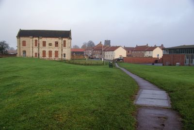
The castle remains are located in central Thirsk, bounded by the streets Westgate, Castlegate, Kirkgate, and Masonic Lane. The mound and surrounding earthworks are easily accessible for walking and viewing from nearby public areas.
After its military destruction, the castle grounds were converted into a garden from 1376 onward, transforming a feared military stronghold into a place of leisure for the town. This shift from fortification to garden remains visible in the terrain.
Location: Thirsk
GPS coordinates: 54.23210,-1.34544
Latest update: December 9, 2025 20:22
The World of James Herriot
171 m
Church of St Mary
313 m
Upsall Castle
5.6 km
The Three Tuns
261 m
St Oswald's Church
731 m
Thirsk Town Hall
138 m
Church of St Lawrence
3.4 km
Church of St Wilfrid
2 km
Church of St Felix
4.9 km
Church of All Saints, Great Thirkleby
5.6 km
Church of St Mary
3.8 km
Church of St Leonard
4.4 km
Thirsk Museum
144 m
Market Clock By The Post Office
208 m
St Leonard's Church
4.4 km
Town End Bridge, Sowerby
1.6 km
Milestone, 420m SE jct Bagby Lane
4.3 km
Thirsk Library
465 m
Mile Post Opposite Number 15
510 m
Mile-Post Approximately 50 Metres To South Of School
3.2 km
Thirsk Hall
236 m
Nevison House
4.2 km
Sowerby War Memorial, North Yorkshire
801 m
Mile Post East Of Cocked Hat Farm
1.7 km
Milestone, Breckenborough, nr entrance to farm
5 km
Mile Post Outside Burniston
846 m
West Lodge Gateway To Thornton Stud With Flanking Walls, Gate, Railings And End Piers
4.2 km
Milestone, N end of village
4.6 kmVisited this place? Tap the stars to rate it and share your experience / photos with the community! Try now! You can cancel it anytime.
Discover hidden gems everywhere you go!
From secret cafés to breathtaking viewpoints, skip the crowded tourist spots and find places that match your style. Our app makes it easy with voice search, smart filtering, route optimization, and insider tips from travelers worldwide. Download now for the complete mobile experience.
A unique approach to discovering new places❞
— Le Figaro
All the places worth exploring❞
— France Info
A tailor-made excursion in just a few clicks❞
— 20 Minutes