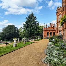
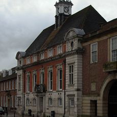
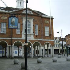
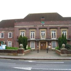
High Wycombe, Market town in Buckinghamshire, England
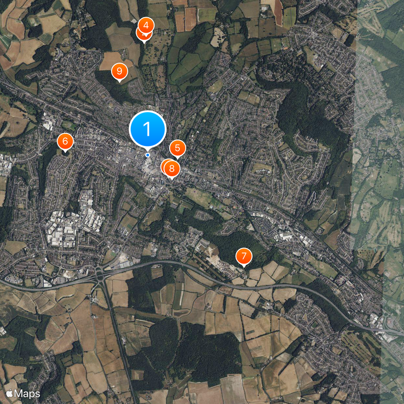
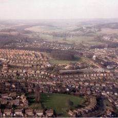
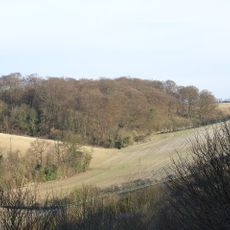
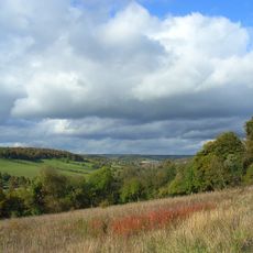
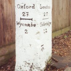
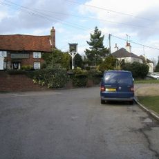
High Wycombe sits in the valley of the River Wye, surrounded by the Chiltern Hills, roughly 47 kilometers northwest of central London. The urban area includes several neighborhoods and a core with shopping zones, a bus station and a railway station.
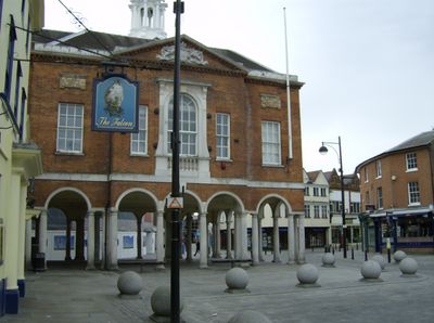
A Roman villa was built here between 150 and 170 AD, and in 1237 the settlement received a market charter that officially allowed trade. This development laid the ground for its later role as a trading center in the region.
Local woodworkers shaped generations of furniture from beech trees harvested in nearby forests, creating a tradition visible in workshops and displays across town. Today visitors can see how this craft shaped the rhythm of working life and gave the place its practical character.
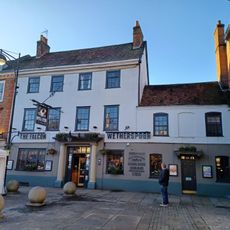
The town center sits close to the railway and bus stations, making it easy for visitors to find their way around. Many shops and facilities concentrate along the central streets, which are easy to reach on foot.
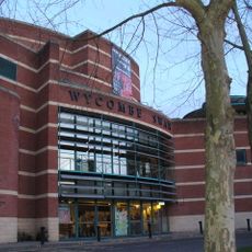
The local theater stages professional productions year-round, showing the connection between performance and community. An annual festival brings together music and food from different traditions, celebrating the diversity of the people who live here.
The community of curious travelers
AroundUs brings together thousands of curated places, local tips, and hidden gems, enriched daily by 60,000 contributors worldwide.