Chest opened
+${chestReward.xp} XP
Explorer
NOUVEAU ×${chestReward.collectible.quantity}
tapez pour fermer
Chest locked

Open chests in the app

Around Us is built for your phone — chests unlock when you walk, explore and capture nearby places.

Enable Location

We need your location to show you interesting places around you

Discover nearby places

Find interesting locations and hidden gems around you

Precise directions

Get accurate directions and distances to places

Your location is never shared with other users. It's only used when you tap the location button.

Market Drayton

Log in to your account

Start exploring — it's free

Trusted by 72,889 travelers worldwide

Continue with Google
Continue with Apple
or

We will send you a code to connect

By continuing, you accept our Terms and Conditions and our Privacy Policy

Check your inbox

We've sent a pincode in your inbox. Please enter the code below.

Discussion Reviews 2 Photos
32.1k Popularity

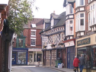
Market Drayton, Municipal administrative center in Shropshire, England

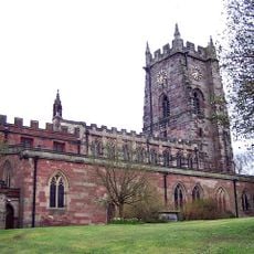
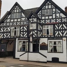
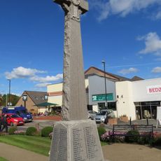
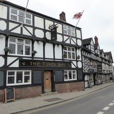
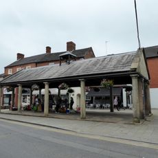
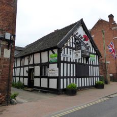
Market Drayton is a market town in Shropshire, England, situated along the River Tern at the point where three counties meet: Shropshire, Cheshire, and Staffordshire. The settlement functions as a regional hub with its town centre, historic buildings, and local amenities serving both residents and passing travellers.

The settlement appears in the Domesday Book of 1086 and received a market charter from King Henry III in 1245, establishing the Wednesday market tradition. This royal grant established it as a regional trading centre.

The Festival Drayton Centre, opened in 1984, hosts theatre productions, film screenings, and art exhibitions that shape the social life of the community. These events bring together locals and visitors for cultural activities throughout the year.

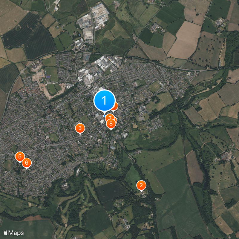
The A53 road provides direct access, and the town centre has parking and local shops within walking distance. The local council organizes regular events and maintains community facilities that visitors can enjoy throughout the year.

The town has a long history of gingerbread production, with documented baking traditions reaching back to 1793. You can still find these sweets made locally and sold in shops around town.

The community of curious travelers

AroundUs brings together thousands of curated places, local tips, and hidden gems, enriched daily by 60,000 contributors worldwide.

Start exploring
Location
GPS coordinates
52.90440,-2.48480
Latest update
December 20, 2025 00:46
Around this place
Pell Wall Hall
United Kingdom

Pell Wall Hall

1.1 km
Market Drayton Methodist Church
United Kingdom

Market Drayton Methodist Church

415 m
Church of Saint Mary
United Kingdom

Church of Saint Mary

178 m
United Kingdom

Christ Church

1.3 km
United Kingdom

17-21, Christ Church Lane

1.3 km
United Kingdom

10, Church Street

133 m
United Kingdom

Beeston Memorial Approximately 23 Metres To South East Of Tower Of Church Of Saint Mary

204 m
Star Hotel
United Kingdom

Star Hotel

132 m
United Kingdom

St Martha's Cottage St Mary's Cottage

266 m
Market Drayton Memorial Cross
United Kingdom

Market Drayton Memorial Cross

176 m
United Kingdom

Crown Hotel Crown Hotel Including Former Brewery Adjoining At Rear

57 m
United Kingdom

Shropshire Union Canal Bridge Number 61

1.2 km
United Kingdom

Kings Arms

200 m
United Kingdom

Ryland House

243 m
The Sandbrook Vaults
United Kingdom

The Sandbrook Vaults

82 m
United Kingdom

Tunstall Hall

1.9 km
United Kingdom

117, Cheshire Street

394 m
United Kingdom

Shropshire Union Canal Victoria Bridge (Number 65) At Sj 679 352

1.1 km
United Kingdom

Forge House

259 m
United Kingdom

Coach And Horses

313 m
The Butter Market
United Kingdom

The Butter Market

29 m
United Kingdom

Summerhouse Approximately 200 Metres To South West Of Pell Wall

1.2 km
United Kingdom

Brooklyn House

422 m
United Kingdom

Shropshire Union Canal Tyrley Lock Number 5

1.8 km
27, Shropshire Street
United Kingdom

27, Shropshire Street

134 m
Shropshire Union Canal Milepost Circa 160 Metres South Of Bridge Number 61 At Sj 685 335
United Kingdom

Shropshire Union Canal Milepost Circa 160 Metres South Of Bridge Number 61 At Sj 685 335

1.3 km
United Kingdom

Tyrely Castle Farmhouse

655 m
United Kingdom

Sundial Approximately 17 Metres North Of Chancel Of Church Of Saint Mary

161 m
Show the full map
Reviews
Share your experience

No review yet

Discussions
Start a discussion...

No discussion yet

« Market Drayton - Municipal administrative center in Shropshire, England » is provided by Around Us (aroundus.com). Images and texts are derived from Wikimedia project under a Creative Commons license. You are allowed to copy, distribute, and modify copies of this page, under the conditions set by the license, as long as this note is clearly visible.

Discover hidden gems everywhere you go!

From secret cafés to breathtaking viewpoints, skip the crowded tourist spots and find places that match your style. Our app makes it easy with voice search, smart filtering, route optimization, and insider tips from travelers worldwide. Download now for the complete mobile experience.

Around Us App Screenshot

A unique approach to discovering new places

Le Figaro

All the places worth exploring

France Info

A tailor-made excursion in just a few clicks

20 Minutes

Around Us
Travel Guide & Maps
Download

Send to your phone

QR Code
1

Open the camera app on your mobile.

2

Point at the QR code with your camera. A notification will appear.

3

Tap the notification to open the link.