River Tamar, Natural boundary river in Devon and Cornwall, England.
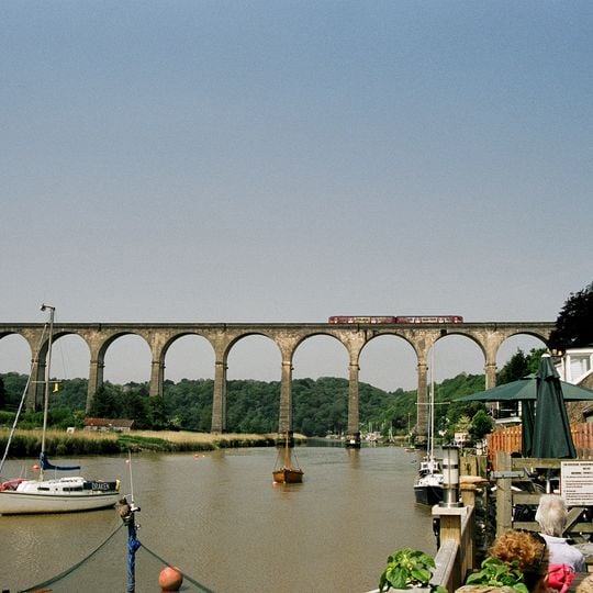
The River Tamar rises less than 3.7 miles from Cornwall's north coast and runs 61 miles south to Plymouth Sound, forming most of the border between Devon and Cornwall. It passes beneath a long stone viaduct and past moored boats, including a white-hulled sailboat marked "DRAKEN". Its tributaries include the Inny, Ottery, Kensey and Lynher on the Cornish side and the Deer and Tavy on the Devon side.
Ancient geographers like Ptolemy mentioned this river in the second century, showing its importance as a major waterway in early Britain. Over following centuries, the area around it became dominated by mining activity, particularly for tin and other metals.
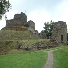
The valley shaped by this river shows clear signs of its mining past, with old workings and stone structures scattered across the landscape that visitors can see today. These remains tell the story of how extraction industries once shaped daily life and work in the region.
The Tamar Discovery Trail is a 35-mile walking route that follows the river through the valley below Launceston. The lower Tamar near Plymouth is tidal, so the water level and the exposed mudbanks change through the day. The Tamar Estuary Nature Reserve, owned by the Cornwall Wildlife Trust, is a place to watch waders in winter.
The Tamar's source lies less than 3.7 miles (6.0 km) from Cornwall's north coast, yet the river runs south across the peninsula to reach the English Channel. Its name was recorded by Ptolemy in the second century AD and is said to mean "great water".
The community of curious travelers
AroundUs brings together thousands of curated places, local tips, and hidden gems, enriched daily by 94,723 contributors worldwide.