East Anglia, Geographic region in eastern England, GB
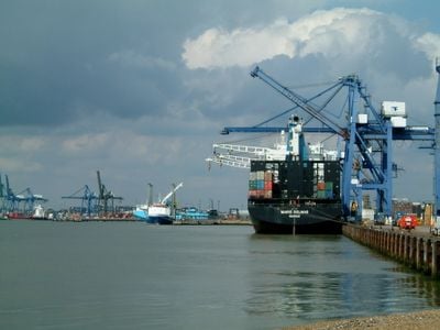
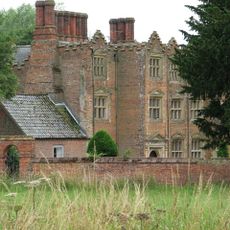
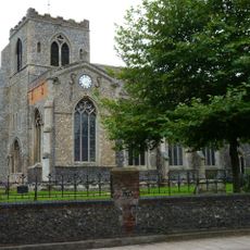
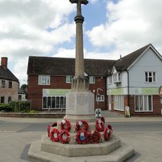
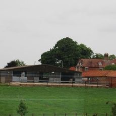
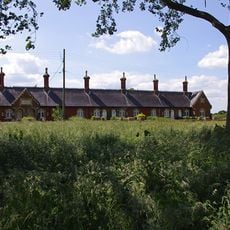
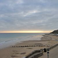
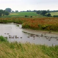
East Anglia sits in eastern England and covers the counties of Norfolk, Suffolk, and Cambridgeshire, which together form a broad lowland area. The landscape shows flat fields, wetlands, and gentle hills that stretch to the North Sea coast.
An Anglo-Saxon kingdom formed here around 520, gaining great influence in the 7th century after victories over Northumbria. Later, Danish settlers and Norman conquerors shaped the further development of the area.
The name comes from the Angles, a Germanic tribe who settled here in the early medieval period. Many place names end in -ham, -ton, or -by, showing centuries of settlement by different peoples.
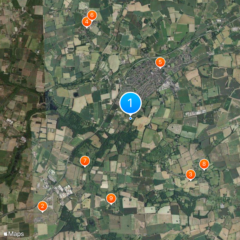
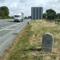
The area is reached via major roads A12 and A47, which lead to larger towns and the coast. Many places are scattered, so a car is helpful for visits outside the cities.
The regional flag shows three golden crowns on a blue background, a design that goes back to the old Anglo-Saxon kingdoms. This symbol recalls the Scandinavian connections and the medieval past.
The community of curious travelers
AroundUs brings together thousands of curated places, local tips, and hidden gems, enriched daily by 92,294 contributors worldwide.