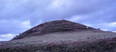
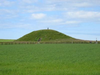
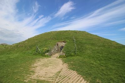
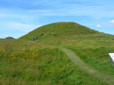
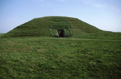
Maes Howe, Neolithic chambered cairn in Orkney Islands, Scotland
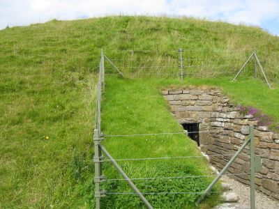
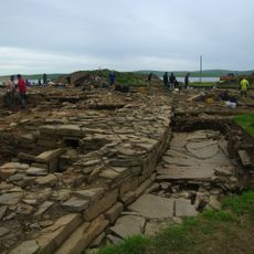
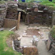
Maes Howe is an earthen mound on the Orkney Islands that rises several meters and houses a central chamber connected to three smaller side rooms. The interior is constructed from massive stone slabs that visitors walk through to reach the inner spaces.
Built around 2800 BCE, the tomb served as a burial place for multiple generations in prehistoric times. In the 12th century, Viking visitors left runic inscriptions carved into the inner walls, adding a layer of later history to the site.
The entrance aligns with the winter solstice sunset, revealing that the builders understood the movement of the sun and stars in ways that shaped their rituals. Visitors can witness this celestial alignment themselves during the winter solstice.
Visitors need to arrange visits in advance through guided tours that depart regularly from the visitor center in Stenness village. These tours run throughout the year and allow safe access to the interior chambers.
The Viking runic carvings inside form the largest collection of such inscriptions found outside Scandinavia, offering insight into the travels of these later visitors. These writings reveal how people centuries after the mound was built discovered it and left their names behind.
The community of curious travelers
AroundUs brings together thousands of curated places, local tips, and hidden gems, enriched daily by 60,000 contributors worldwide.