Zennor, civil parish in Cornwall, UK
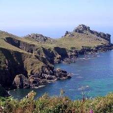
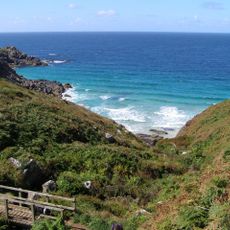
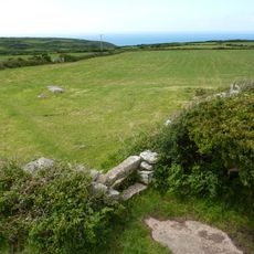
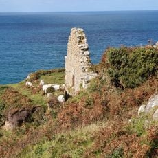
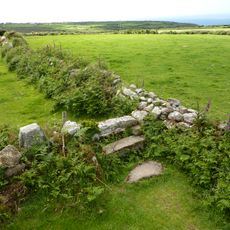
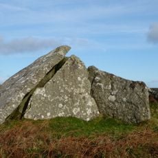
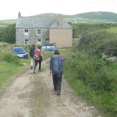
Zennor is a small village perched on cliffs overlooking the rocky northern coast of Cornwall. It consists of old stone houses arranged along narrow lanes, surrounded by fields dotted with granite boulders and divided by thick stone hedges that form a pattern of ancient farmland.
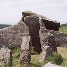
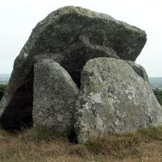
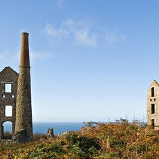
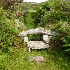
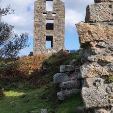
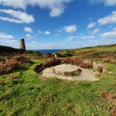
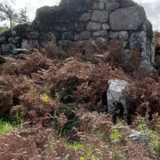
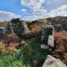
People have inhabited this area for about 4,000 years, with the earliest settlements dating to the Bronze Age and visible in some of the world's oldest field systems still in use. The village experienced periods of quarrying, fishing, and mining before tourism became the primary activity in the 20th century.
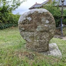
Zennor takes its name from Saint Senara, a local saint venerated since ancient times. The village holds deep connections to the Cornish language, which was spoken here until the late 19th century and continues through place names and oral traditions.
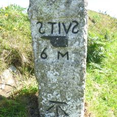
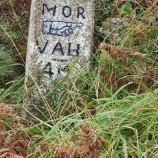
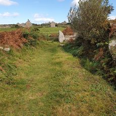
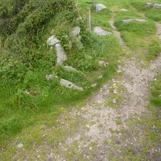
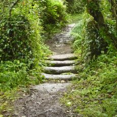
The village is best explored on foot, with numerous maintained walking paths and coastal trails regularly kept in good condition by the local council. The paths are freely accessible but include steep sections, especially along the cliffs, so careful footing is necessary.
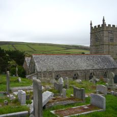
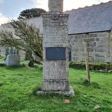
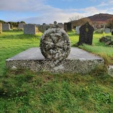
The church in Zennor features a carved bench-end depicting a mermaid, believed to be the origin of the local legend about a sea creature who lured a young man to his disappearance. Another detail is the coffin rest by the church gate, where pallbearers rested before continuing to burial.
The community of curious travelers
AroundUs brings together thousands of curated places, local tips, and hidden gems, enriched daily by 60,000 contributors worldwide.