Badminton, Rural village in South Gloucestershire, England
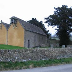
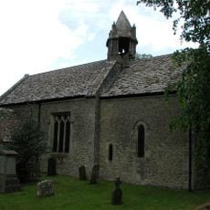
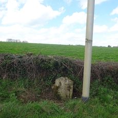
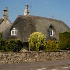
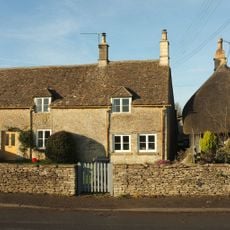
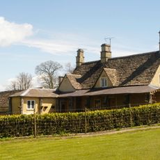
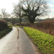
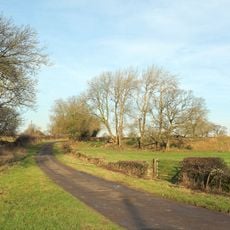
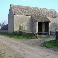
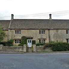
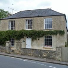
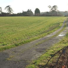
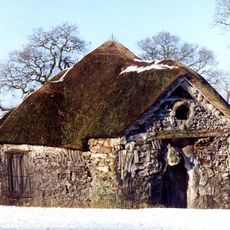
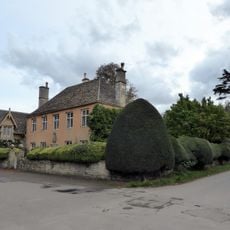
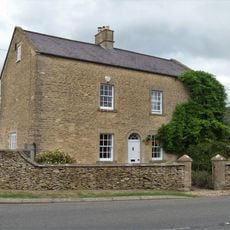
Badminton is a rural village in South Gloucestershire that spreads across rolling countryside with limestone buildings. The area is defined by numerous farms surrounding the central settlement, creating a traditional English rural landscape.
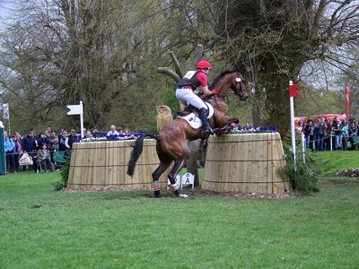
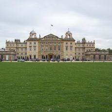
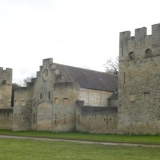
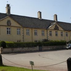
The Badminton estate became the principal seat of the Dukes of Beaufort in 1612, shaping connections with British nobility. The location later developed into a world-class equestrian venue, establishing itself as a leading destination for international horse trials.
The name Badminton became world-famous when the sport was invented here during the 19th century. The connection between this place and the game remains part of local identity and draws attention from visitors interested in sporting heritage.
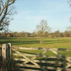
The village remains largely private, with limited public access except during major equestrian events. Visitors who come during these occasions can explore designated areas and experience the grounds from a spectator's perspective.
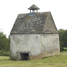
The estate contains one of England's largest private gardens with formal hedged structures and extensive plant collections. These carefully designed gardens remain largely hidden from the public and are among the region's least known treasures.
Location: South Gloucestershire
GPS coordinates: 51.54424,-2.28544
Latest update: December 7, 2025 20:41
Badminton House
373 m
St Michael and All Angels Church, Badminton
377 m
Church of St Michael and All Angels
1.4 km
Parish Church of St Mary
2.1 km
Milestone On Road 30 Yards To East Of The Beeches
2.7 km
The Thatched Cottage
552 m
Castle Barn, Flanking Dovecotes And Screen Walls
1 km
Isaac Family Chest Tomb; Immediately To West Of South Porch Of Parish Church Of St Mary
2.1 km
1 and 2, Old Down Road
554 m
Park Keepers House, And Workshop Wing To East
1.1 km
Allengrove Farmhouse
2.3 km
Giant's Cave: a chambered long barrow 750m south west of Allengrove Farm
1.7 km
Lypiatt Barn
2.7 km
Hollybush Farmhouse
2.2 km
Chestnut House
2.1 km
Milestone At Ngr St 7970 8257
666 m
Barn About 20 Metres South West Of Old Warren Farmhouse
3.3 km
Dovecote at Little Badminton
1.3 km
Hermit's Cell The Root House
1.3 km
Essex House, And Front Boundary Walls And Gate Piers
245 m
2, Luckington Road
2 km
The Almshouse And Former School And Boundary Walls And Gate Piers To The Road
216 m
Badminton House Servants Wing, Adjoining And Immediately To The South West Of Badminton House
299 m
Barn, 10 Yards To South East Of Hollybush Farmhouse
2.2 km
Milestone On West Side About 150 Metres North East Of County Boundary
2 km
Milestone, The Limes, just S jcn High Street
187 m
Milestone, Station Road at ST8087181287
1.7 km
Milestone, E of Newhouse Farm
2.2 kmVisited this place? Tap the stars to rate it and share your experience / photos with the community! Try now! You can cancel it anytime.
Discover hidden gems everywhere you go!
From secret cafés to breathtaking viewpoints, skip the crowded tourist spots and find places that match your style. Our app makes it easy with voice search, smart filtering, route optimization, and insider tips from travelers worldwide. Download now for the complete mobile experience.
A unique approach to discovering new places❞
— Le Figaro
All the places worth exploring❞
— France Info
A tailor-made excursion in just a few clicks❞
— 20 Minutes