
Wessington CP, village and civil parish in North East Derbyshire, England
Location: North East Derbyshire
GPS coordinates: 53.11597,-1.44664
Latest update: March 14, 2025 03:10

Wingfield Manor
3 km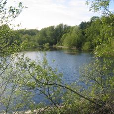
Ogston Reservoir
2.5 km
Ogston Hall
2.1 km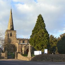
Church of St Mary
3.9 km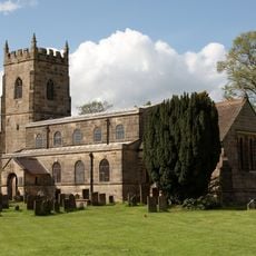
All Saints' Church, South Wingfield
2.3 km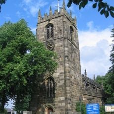
St Leonard's Church
2.9 km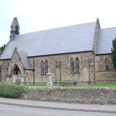
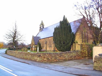
Christ Church
223 m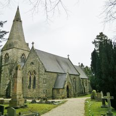
Holy Trinity Church
1.2 km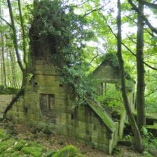
Ruins of Trinity Chapel
2 km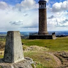
Sherwood Foresters Memorial Tower
3.7 km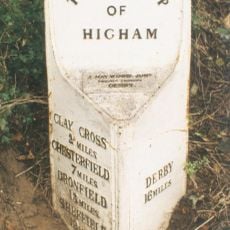
Mile Post 14 Metres North Of Quarry Farmhouse, Higham
2.5 km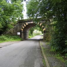
Amber Mill Bridge (Spc8 61)
1.9 km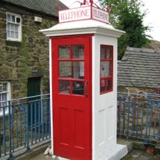
K1 Telephone Box At The National Tramway Museum
4 km
Wingfield Hall
2.8 km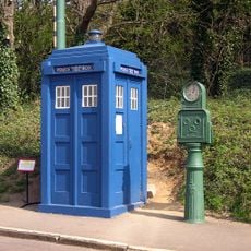
Metropolitan Police Public Call Post At The National Tramway Museum
3.9 km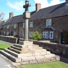
Village Cross, Higham
2.3 km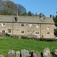
Clattercotes Farmhouse
2.9 km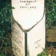
Mile Post 10 Metres South East Of Carr Hill Farmhouse
2.1 km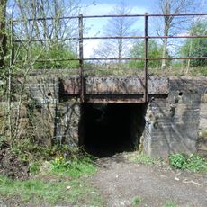
South Wingfield Footpath Bridge (Spc8 56)
2.7 km
Crich Stand Tower
3.7 km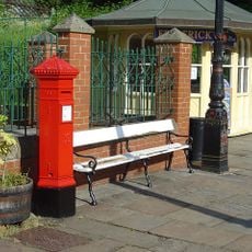
Penfold post box at the National Tramway Museum
3.9 km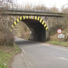
Railway Bridge To The South East Of Dale Bridge
2.1 km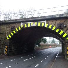
Railway Bridge South Of South Wingfield Stationmaster's House
2.5 km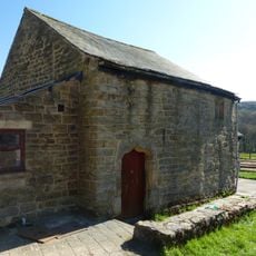
Outbuilding to the south of Clattercotes Farmhouse
2.8 km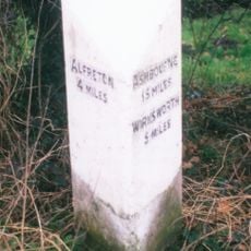
Milepost, bottom of hill, NE of Crich village
3.6 km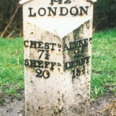
Milepost, roadside at SK393591
2.5 km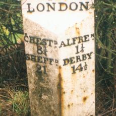
Milepost, roadside at SK404579
3.3 km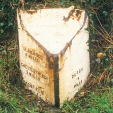
Milepost, S of Toadhole Furnace
2.2 kmVisited this place? Tap the stars to rate it and share your experience / photos with the community! Try now! You can cancel it anytime.
Discover hidden gems everywhere you go!
From secret cafés to breathtaking viewpoints, skip the crowded tourist spots and find places that match your style. Our app makes it easy with voice search, smart filtering, route optimization, and insider tips from travelers worldwide. Download now for the complete mobile experience.

A unique approach to discovering new places❞
— Le Figaro
All the places worth exploring❞
— France Info
A tailor-made excursion in just a few clicks❞
— 20 Minutes