Bovey Tracey, Administrative division in Teignbridge, England
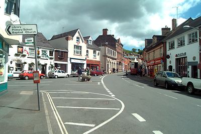
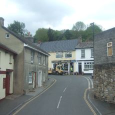
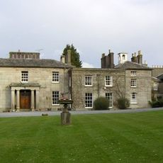
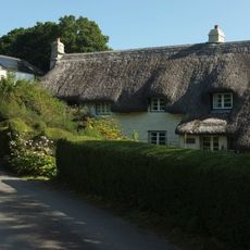
Bovey Tracey is an administrative division in the Teignbridge district of Devon, situated at the edge of Dartmoor National Park. The area combines urban development with protected natural landscape and functions as a center for local governance.
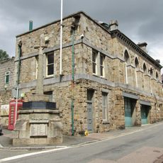
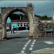
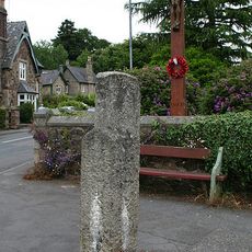
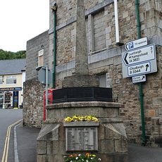
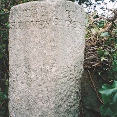
The town received its first market charter in the 13th century, marking its growth as a trading center of the region. This early grant shaped the administrative foundation that continues to define the place today.
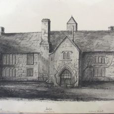
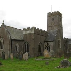
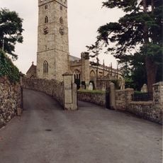
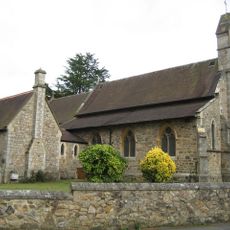
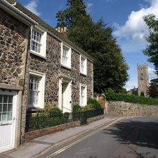
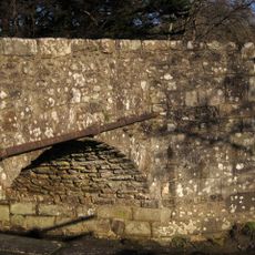
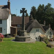
St. Thomas à Becket Church sits in the town center as a Norman structure that has watched over this place for centuries. The building connects locals and visitors to a long lineage of people who have gathered here.
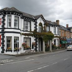
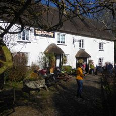
The town can be explored during regular daytime hours and offers services and facilities for residents and visitors. Its position at the edge of Dartmoor makes it a natural starting point to discover both the urban center and the surrounding countryside.
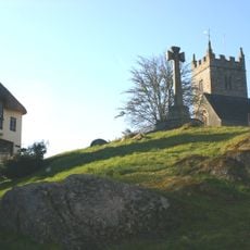
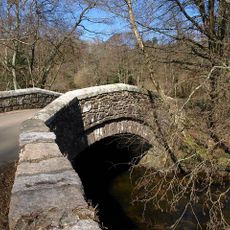
The place sits where urban development meets the protected Dartmoor region, creating a rare blend of different landscapes in one location. This position allows visitors to shift quickly between built areas and open moorland.
Location: Teignbridge
GPS coordinates: 50.60466,-3.68568
Latest update: December 7, 2025 19:29
Indio, Bovey Tracey
2.2 km
Bovey Heath
3.5 km
Town Hall
1.4 km
Church of St Michael
4.2 km
Church of St Peter and St Paul and St Thomas of Canterbury
1.7 km
Church of St Mary
2.5 km
Cromwell's Arch
1.4 km
Church of St John the Baptist
2.8 km
Direction Post About 50 Metres North Of St John's Church, At Junction Of Ashburton Road And Newton Road
1.9 km
Church of St John the Evangelist
2 km
Parke House Including The Stables
1.1 km
East Dartmoor Baptist Church
1.3 km
The Bell Inn
1.4 km
Church Hill House
1.6 km
Lustleigh War Memorial
2.8 km
Drakeford Bridge
1.9 km
Bishop's Stone Set In The Garden Wall Of Caseley Bungalow, About 15 Metres South-East Of The Road To Caseley
2.9 km
Bridge And Section Of Haytor Granite Tramway Crossing Bovey Pottery Leat About 250 Metres South-East Of Chapple Farm
2.2 km
Bovey Bridge
1.6 km
Colehayes Park Hotel
2.6 km
Cross Incorporated In War Memorial, About 2 Metres From South-West Corner Of Town Hall
1.4 km
Cross About 6 Metres North-West Of South Harton Farm Gate
4.4 km
Dartmoor Cottage
3.1 km
Direction Post At Five Lanes At The Junction Of The Roads To Hennock Village And Warmhill
2.3 km
Dolphin Hotel
1.6 km
Cleave Hotel
2.8 km
Littleholm Pound Cottages
2.8 km
Engine House About 140 Metres South Of Canonteign Barton
4.4 kmVisited this place? Tap the stars to rate it and share your experience / photos with the community! Try now! You can cancel it anytime.
Discover hidden gems everywhere you go!
From secret cafés to breathtaking viewpoints, skip the crowded tourist spots and find places that match your style. Our app makes it easy with voice search, smart filtering, route optimization, and insider tips from travelers worldwide. Download now for the complete mobile experience.
A unique approach to discovering new places❞
— Le Figaro
All the places worth exploring❞
— France Info
A tailor-made excursion in just a few clicks❞
— 20 Minutes