West Hartford

Log in to your account

AroundUs is a community-driven map of interesting places, built by curious explorers like you. It grows with every review, story, and photo you share.
Connect to save your favorite spots, contribute locations, and create personalized routes.
Continue with Google
Continue with Apple
Continue with X
Continue with Facebook
Continue with email
By continuing, you accept our Terms and Conditions and our Privacy Policy
Create an account
Add to collection
Map
Suggest a change
Share

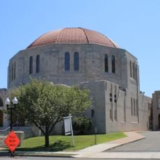
West Hartford, Suburban town in Hartford County, Connecticut

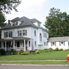
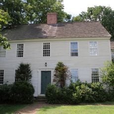
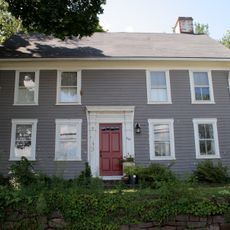
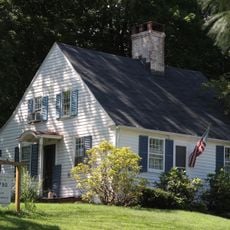
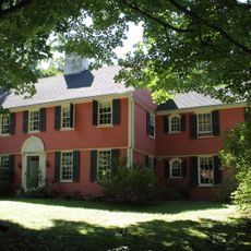
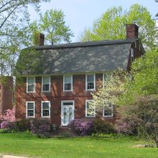
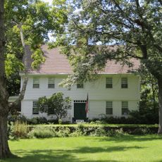
West Hartford is a town in Hartford County, Connecticut, covering about 57 square kilometers (22 square miles) that combines residential areas, commercial zones and educational institutions near the state capital. The layout mixes neighborhoods with busy shopping streets and several schools, including a university and specialized facilities that shape the local character.

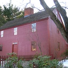
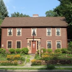
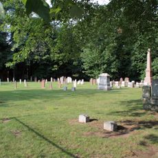
The settlement began in 1672 as a parish tied to Hartford, took its present name in 1806, and gained official status as an independent town in 1854. This evolution unfolded over nearly two centuries, showing a gradual separation from the neighboring city.

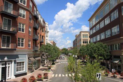
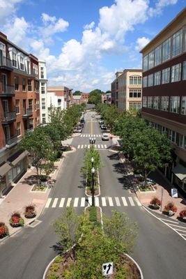
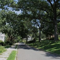
Families gather in public parks where residents walk, play sports and attend weekend events that reflect everyday suburban life. Shops and cafés in the main centers attract people who meet, work or simply spend time in spaces that blend community activity with commercial energy.

Main centers with shops, restaurants and venues remain open year-round, offering visitors a range of services and leisure options. Parking and pedestrian zones make it easy to move around these areas and explore the different offerings at your own pace.

The town introduced the first municipal zoning regulations in Connecticut in 1924, setting patterns for residential and commercial areas. This early planning shaped its structure to this day and served as a model for other communities across the state.

Location: Capitol Planning Region

Location: Hartford County

Inception: 1854

Elevation above the sea: 50 m

Shares border with: Bloomfield

Website: http://west-hartford.com

GPS coordinates: 41.76778,-72.75389

Latest update: December 12, 2025 19:33

Photos
Around this place
United States of America

West Hartford Reservoir

2.7 km
West Hill Historic District
United States of America

West Hill Historic District

2.5 km
Congregation Beth Israel
United States of America

Congregation Beth Israel

2.8 km
Noah Webster House
United States of America

Noah Webster House

2.5 km
The Spanish House
United States of America

The Spanish House

2.5 km
United States of America

The Children's Museum, Connecticut

1.5 km
Asa Gillett House
United States of America

Asa Gillett House

2.2 km
Edward W. Morley House
United States of America

Edward W. Morley House

1.4 km
Whiting Homestead
United States of America

Whiting Homestead

1.5 km
House at 847 Main Street, North
United States of America

House at 847 Main Street, North

2.6 km
Samuel Farnsworth House
United States of America

Samuel Farnsworth House

1.8 km
Old Center Burying Yard
United States of America

Old Center Burying Yard

1 km
John Wells, Jr. House
United States of America

John Wells, Jr. House

1.6 km
Capt. Nathaniel Hayden House
United States of America

Capt. Nathaniel Hayden House

2.4 km
Daniel Hosmer House
United States of America

Daniel Hosmer House

1.4 km
Benjamin Colton House
United States of America

Benjamin Colton House

2 km
Whitman House
United States of America

Whitman House

1.1 km
James Butler House
United States of America

James Butler House

1.3 km
Moses Brace-Uriah Cadwell House
United States of America

Moses Brace-Uriah Cadwell House

1.9 km
Allyn Steele House
United States of America

Allyn Steele House

880 m
United States of America

Stanley-Woodruff-Allen House

2.3 km
Elisha Seymour Jr. House
United States of America

Elisha Seymour Jr. House

2.2 km
United States of America

University of Saint Joseph Art Gallery

2.6 km
United States of America

Elizabeth Park Rose Garden

2.9 km
United States of America

Beach Park

2.8 km
United States of America

Central Theatre

1.1 km
United States of America

Hartford Reservoir Number 1

2.8 km
United States of America

Buena Vista Golf Course

2.8 km
Show the full map
Reviews

Visited this place? Tap the stars to rate it and share your experience / photos with the community! Try now! You can cancel it anytime.

« West Hartford - Suburban town in Hartford County, Connecticut » is provided by Around Us (aroundus.com). Images and texts are derived from Wikimedia project under a Creative Commons license. You are allowed to copy, distribute, and modify copies of this page, under the conditions set by the license, as long as this note is clearly visible.

Discover hidden gems everywhere you go!

From secret cafés to breathtaking viewpoints, skip the crowded tourist spots and find places that match your style. Our app makes it easy with voice search, smart filtering, route optimization, and insider tips from travelers worldwide. Download now for the complete mobile experience.

Around Us App Screenshot

A unique approach to discovering new places

Le Figaro

All the places worth exploring

France Info

A tailor-made excursion in just a few clicks

20 Minutes