Enable Location

We need your location to show you interesting places around you

Discover nearby places

Find interesting locations and hidden gems around you

Precise directions

Get accurate directions and distances to places

Your location is never shared with other users. It's only used when you tap the location button.

Waterbury

Log in to your account

Start exploring — it's free

Trusted by 62,499 travelers worldwide

Continue with Google
Continue with Apple
or

We will send you a code to connect

By continuing, you accept our Terms and Conditions and our Privacy Policy

Check your inbox

We've sent a pincode in your inbox. Please enter the code below.

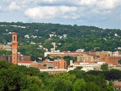
Waterbury, Industrial city in Connecticut, United States

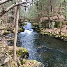
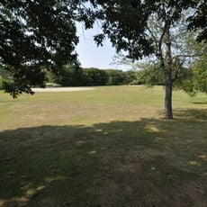
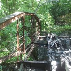
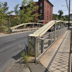
Waterbury sits along the Naugatuck River in the valley region of Connecticut and spreads over hills with residential areas and older industrial buildings. Streets follow the river course, and bridges connect different neighborhoods with each other.

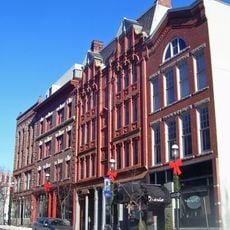
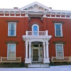
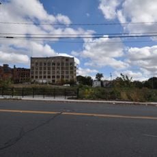
Settlers founded the plantation in 1686 under the name Mattatuck and built mills along the river. In the 19th century, metal processing factories developed and turned the place into the center of the American brass industry.

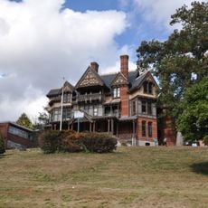
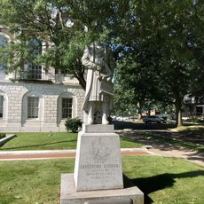
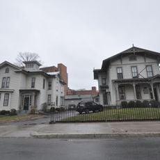
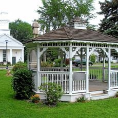
The name Mattatuck comes from the native language and describes a place without trees, while today parks and residential streets shape the urban layout. Local gatherings take place in public spaces where residents meet and go about daily routines.

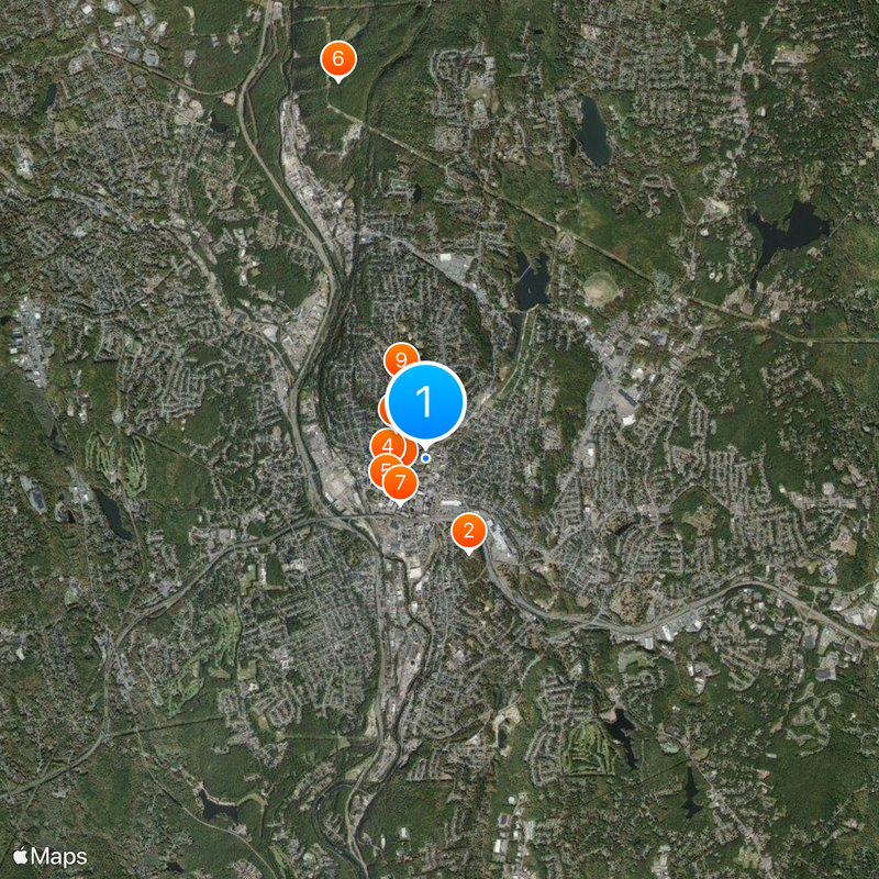
Visitors reach the town by regional trains or highways from Hartford or New York. Older neighborhoods can be explored on foot, while local bus lines connect more distant areas.

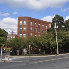
Inside the former factory halls, pocket watches were made that sold for one dollar and brought timekeeping within reach of working people. This production turned watches into an everyday object for laboring families across America.

The community of curious travelers

AroundUs brings together thousands of curated places, local tips, and hidden gems, enriched daily by 60,000 contributors worldwide.

Start exploring
Location
Inception
1686
Elevation above the sea
80 m
GPS coordinates
41.55833,-73.03694
Latest update
December 16, 2025 12:02
Around this place
Holy Land USA
United States of America

Holy Land USA

1.4 km
Elton Hotel
United States of America

Elton Hotel

394 m
Mattatuck Museum
United States of America

Mattatuck Museum

528 m
Waterbury Municipal Center Complex
United States of America

Waterbury Municipal Center Complex

706 m
Hancock Brook Trail
United States of America

Hancock Brook Trail

5.2 km
Bank Street Historic District
United States of America

Bank Street Historic District

709 m
Benedict-Miller House
United States of America

Benedict-Miller House

541 m
Beth El Synagogue
United States of America

Beth El Synagogue

1.1 km
Statue of Christopher Columbus
United States of America

Statue of Christopher Columbus

724 m
Waterbury Brass Company
United States of America

Waterbury Brass Company

2.5 km
John Kendrick House
United States of America

John Kendrick House

580 m
George S. Abbott Building
United States of America

George S. Abbott Building

165 m
Southwest District School
United States of America

Southwest District School

4.9 km
Sheffield Street Bridge
United States of America

Sheffield Street Bridge

4.4 km
Enoch Hibbard House and George Granniss House
United States of America

Enoch Hibbard House and George Granniss House

621 m
Overlook Historic District
United States of America

Overlook Historic District

1.5 km
Washington Avenue Bridge
United States of America

Washington Avenue Bridge

1.6 km
Matthews and Willard Factory
United States of America

Matthews and Willard Factory

198 m
Wolcott Green Historic District
United States of America

Wolcott Green Historic District

7 km
Nathaniel Richardson House
United States of America

Nathaniel Richardson House

5 km
American Italian Civic Club Park
United States of America

American Italian Civic Club Park

3.6 km
United States of America

Holy Land Monument

1.2 km
United States of America

Rowland Park

2.2 km
United States of America

Scott Road Park

4.6 km
United States of America

Waterbury Reservoir Number 2

5.7 km
United States of America

Chase Park

1.7 km
United States of America

Bank Street Historic District

531 m
United States of America

Colonial Plaza Cinema

1.4 km
Show the full map
« Waterbury - Industrial city in Connecticut, United States » is provided by Around Us (aroundus.com). Images and texts are derived from Wikimedia project under a Creative Commons license. You are allowed to copy, distribute, and modify copies of this page, under the conditions set by the license, as long as this note is clearly visible.

Discover hidden gems everywhere you go!

From secret cafés to breathtaking viewpoints, skip the crowded tourist spots and find places that match your style. Our app makes it easy with voice search, smart filtering, route optimization, and insider tips from travelers worldwide. Download now for the complete mobile experience.

Around Us App Screenshot

A unique approach to discovering new places

Le Figaro

All the places worth exploring

France Info

A tailor-made excursion in just a few clicks

20 Minutes

Around Us
Travel Guide & Maps
Download

Send to your phone

QR Code
1

Open the camera app on your mobile.

2

Point at the QR code with your camera. A notification will appear.

3

Tap the notification to open the link.