Enable Location

We need your location to show you interesting places around you

Discover nearby places

Find interesting locations and hidden gems around you

Precise directions

Get accurate directions and distances to places

Your location is never shared with other users. It's only used when you tap the location button.

Emporia

Log in to your account

Start exploring — it's free

Trusted by 61,981 travelers worldwide

Continue with Google
Continue with Apple
or

We will send you a code to connect

By continuing, you accept our Terms and Conditions and our Privacy Policy

Check your inbox

We've sent a pincode in your inbox. Please enter the code below.

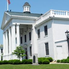
Emporia, Independent city in Southside Virginia, United States.

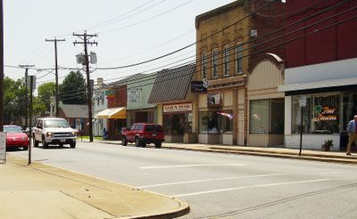
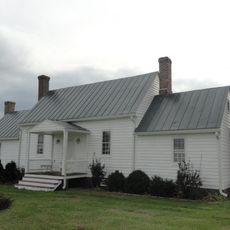
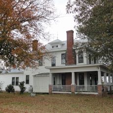
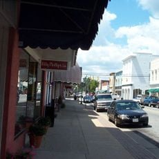
Emporia is an independent city in Southside Virginia situated along the Meherrin River. The city functions as a regional hub for commerce and community services in this rural area.

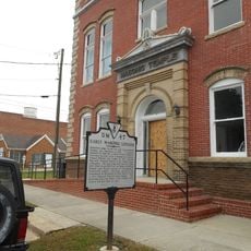
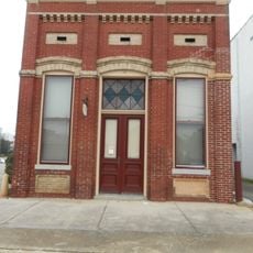
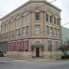
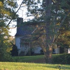
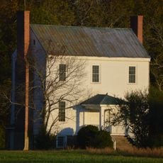
European settlement of the area began in the early 1700s with the founding of Hicksford as a town. The city became known as Emporia after two communities merged in the late 1800s.

Each year, the Emporia Bicycling Club organizes the Great Peanut ride, taking participants through local peanut farms across the Virginia countryside.

The city is accessible via major transportation corridors, making it easy to reach by car or bus. The flat terrain and direct road connections simplify navigation and exploration of the surrounding area.

The city took its name from Emporia, Kansas, chosen when local leaders renamed the combined towns in the 1880s. This choice reflects how communities borrowed names from distant places during that era.

The community of curious travelers

AroundUs brings together thousands of curated places, local tips, and hidden gems, enriched daily by 60,000 contributors worldwide.

Start exploring
Location
Inception
1967
Elevation above the sea
39 m
Shares border with
Greensville County
GPS coordinates
36.69302,-77.53809
Latest update
December 18, 2025 20:11
Around this place
Fortsville
United States of America

Fortsville

11.3 km
Rose Bower
United States of America

Rose Bower

27.1 km
Roanoke Rapids Historic District
United States of America

Roanoke Rapids Historic District

28 km
Village View
United States of America

Village View

1.4 km
Washington Avenue Historic District
United States of America

Washington Avenue Historic District

92 m
H. T. Klugel Architectural Sheet Metal Work Building
United States of America

H. T. Klugel Architectural Sheet Metal Work Building

180 m
Gholson Bridge
United States of America

Gholson Bridge

26.3 km
Aspen Lawn
United States of America

Aspen Lawn

9.6 km
Glenview
United States of America

Glenview

23.5 km
Greensville County Training School
United States of America

Greensville County Training School

714 m
Garysburg United Methodist Church and Cemetery
United States of America

Garysburg United Methodist Church and Cemetery

27.5 km
Hicksford-Emporia Historic District
United States of America

Hicksford-Emporia Historic District

875 m
Old Merchants and Farmers Bank Building
United States of America

Old Merchants and Farmers Bank Building

1 km
Mason-Hardee-Capel House
United States of America

Mason-Hardee-Capel House

26.5 km
J.E. Piland House
United States of America

J.E. Piland House

26.8 km
Greensville County Courthouse Complex
United States of America

Greensville County Courthouse Complex

809 m
United States of America

Gaston School

23.8 km
Belfield-Emporia Historic District
United States of America

Belfield-Emporia Historic District

92 m
Alexander Watson Batte House
United States of America

Alexander Watson Batte House

7.7 km
Seaboard Historic District
United States of America

Seaboard Historic District

24.4 km
Weaver House
United States of America

Weaver House

7.7 km
Franklin Historic District
United States of America

Franklin Historic District

92 m
United States of America

Meherrin River Reservoir

2.5 km
United States of America

Slagles Lake

5.9 km
United States of America

Mitchells Pond

11.8 km
United States of America

Jordans Millpond

21.7 km
United States of America

Harrell Pond

8.9 km
United States of America

Vicks Millpond

27.9 km
Show the full map
« Emporia - Independent city in Southside Virginia, United States » is provided by Around Us (aroundus.com). Images and texts are derived from Wikimedia project under a Creative Commons license. You are allowed to copy, distribute, and modify copies of this page, under the conditions set by the license, as long as this note is clearly visible.

Discover hidden gems everywhere you go!

From secret cafés to breathtaking viewpoints, skip the crowded tourist spots and find places that match your style. Our app makes it easy with voice search, smart filtering, route optimization, and insider tips from travelers worldwide. Download now for the complete mobile experience.

Around Us App Screenshot

A unique approach to discovering new places

Le Figaro

All the places worth exploring

France Info

A tailor-made excursion in just a few clicks

20 Minutes

Around Us
Travel Guide & Maps
Download

Send to your phone

QR Code
1

Open the camera app on your mobile.

2

Point at the QR code with your camera. A notification will appear.

3

Tap the notification to open the link.