Enable Location

We need your location to show you interesting places around you

Discover nearby places

Find interesting locations and hidden gems around you

Precise directions

Get accurate directions and distances to places

Your location is never shared with other users. It's only used when you tap the location button.

Mexico

Log in to your account

Start exploring — it's free

Trusted by 61,988 travelers worldwide

Continue with Google
Continue with Apple
or

We will send you a code to connect

By continuing, you accept our Terms and Conditions and our Privacy Policy

Check your inbox

We've sent a pincode in your inbox. Please enter the code below.

Mexico, County seat in Audrain County, Missouri, United States

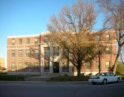
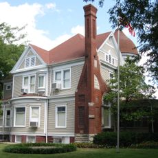
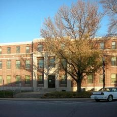
Mexico is the county seat of Audrain County in northern Missouri, located at the junction of highways 54 and 22. Residential areas spread along tree-lined streets, while shops and public buildings gather around the town center.

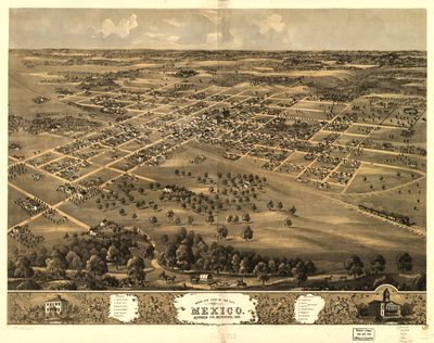
The settlement received its town charter in 1836, when American pioneers moved west and established themselves in this region. The unusual name reflects interest in Mexican territory during the early expansion period of the United States.

The name honors the Latin American nation, though this town sits in the heart of the Midwest and has no direct connection to southern cultures. Farmers' markets and county fairs bring growers and neighbors together, where people buy fresh produce and talk about the harvest.

The town sits roughly halfway between St. Louis and Kansas City, accessible through main highways. Schools, hospitals, and shops cluster in the center, so visitors can reach most points on foot.

Towns named Mexico appear in several American states, but this Midwestern one is among the best known. The choice of name in 1836 came at a time when relations between the United States and its southern neighbor were at the center of political debates.

The community of curious travelers

AroundUs brings together thousands of curated places, local tips, and hidden gems, enriched daily by 60,000 contributors worldwide.

Start exploring
Location
Inception
1836
Elevation above the sea
244 m
GPS coordinates
39.16583,-91.88472
Latest update
December 13, 2025 19:26
Around this place
Show the full map
« Mexico - County seat in Audrain County, Missouri, United States » is provided by Around Us (aroundus.com). Images and texts are derived from Wikimedia project under a Creative Commons license. You are allowed to copy, distribute, and modify copies of this page, under the conditions set by the license, as long as this note is clearly visible.

Discover hidden gems everywhere you go!

From secret cafés to breathtaking viewpoints, skip the crowded tourist spots and find places that match your style. Our app makes it easy with voice search, smart filtering, route optimization, and insider tips from travelers worldwide. Download now for the complete mobile experience.

Around Us App Screenshot

A unique approach to discovering new places

Le Figaro

All the places worth exploring

France Info

A tailor-made excursion in just a few clicks

20 Minutes

Around Us
Travel Guide & Maps
Download

Send to your phone

QR Code
1

Open the camera app on your mobile.

2

Point at the QR code with your camera. A notification will appear.

3

Tap the notification to open the link.