Reading, Industrial city in southeastern Pennsylvania, United States.
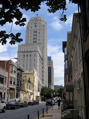
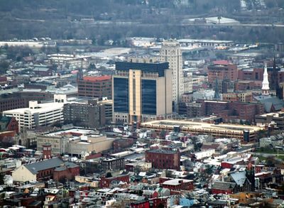
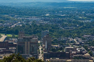
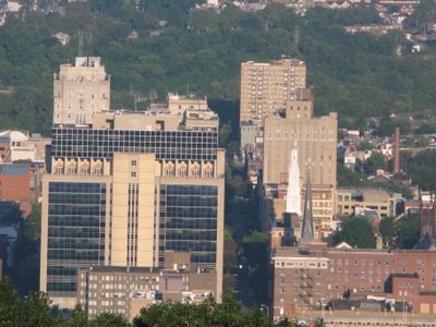
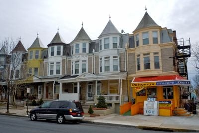
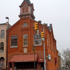
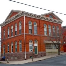
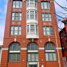
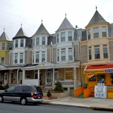
Reading sits in the valley of the Schuylkill River between Mount Penn and Neversink Mountain, with a grid of streets organized around Penn Square. Residential neighborhoods spread over gentle hills and hollows, while the center shows flat blocks with brick buildings and wide streets.
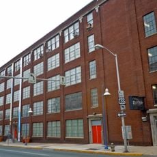
The settlement began in 1748 as a county seat and grew quickly into a trading town with connections to Philadelphia and the backcountry. After 1848 the railroad transformed it into an industrial hub with workshops and factories lining the rail lines.
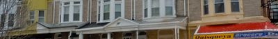
The name honors Reading in England, while many street names recall the earliest European settlers who arrived here. Today local markets and shops mix Puerto Rican cooking with German baking traditions, as neighborhoods bring together different languages and customs.
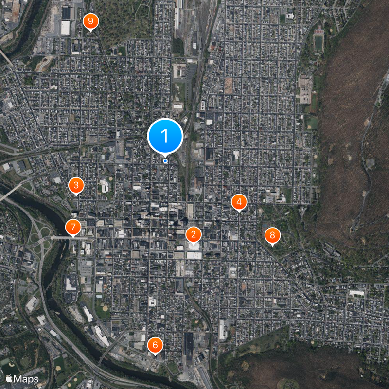
BARTA bus lines connect all major areas and run regularly from the center to outer neighborhoods during the day. Visitors walking in the downtown core find short distances between main points, while hillside streets require steep climbs.
On Mount Penn stands a pagoda built from local stone, since 1908 the only structure of its kind in North America. It still glows red at night and draws visitors who look down over the valley and the rooftops.
The community of curious travelers
AroundUs brings together thousands of curated places, local tips, and hidden gems, enriched daily by 60,000 contributors worldwide.