Enable Location

We need your location to show you interesting places around you

Discover nearby places

Find interesting locations and hidden gems around you

Precise directions

Get accurate directions and distances to places

Your location is never shared with other users. It's only used when you tap the location button.

Lorain County

Log in to your account

Start exploring — it's free

Trusted by 61,406 travelers worldwide

Continue with Google
Continue with Apple
or

We will send you a code to connect

By continuing, you accept our Terms and Conditions and our Privacy Policy

Check your inbox

We've sent a pincode in your inbox. Please enter the code below.

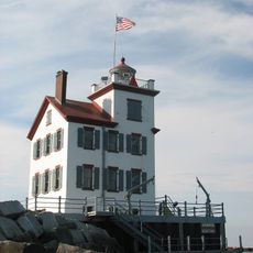
Lorain County, Administrative county in northeast Ohio, United States

Description

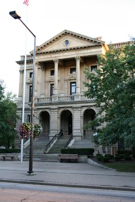
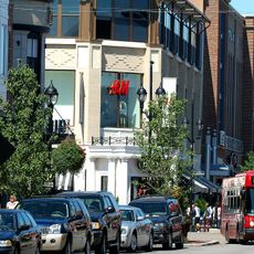
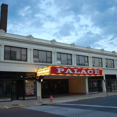
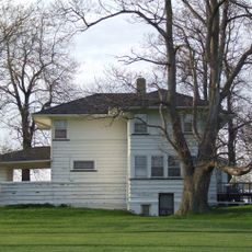
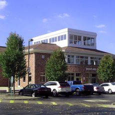
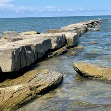
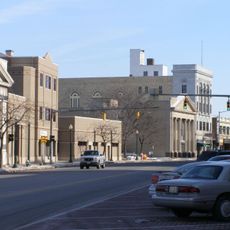
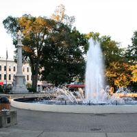
Lorain County is an administrative division in northeast Ohio that spans from Lake Erie down to inland areas, combining urban centers with farmland and rural zones. The county encompasses several municipalities, with Elyria serving as the main administrative hub for county services and governance.

History

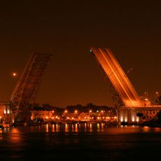
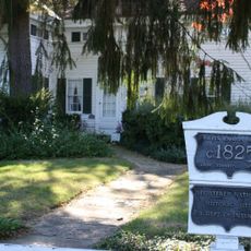
The county was established in 1824 and transformed from frontier land into an industrial powerhouse centered on steel mills and shipping during the 1800s and early 1900s. This manufacturing boom shaped the economy and population growth that defined the region for generations.

Culture

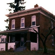
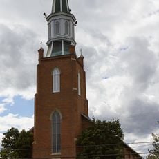
The region developed a strong industrial identity centered on steel production and shipping, which shaped community values and brought diverse immigrant populations. This working-class heritage remains visible in the neighborhoods and local traditions today.

Practical

Visitors typically navigate the county through its main municipalities, with Elyria as the primary center for administrative services and public information. The best time to visit is during standard business hours when government offices and public facilities are fully operational.

Did you know?

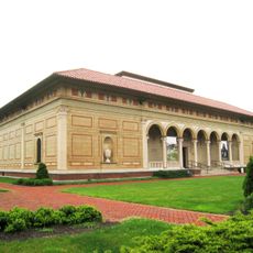
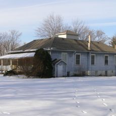
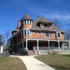
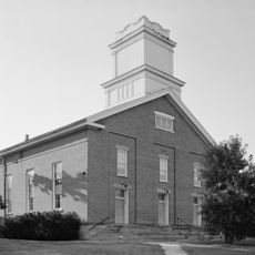
The area holds a rich collection of industrial museums and historical sites that document the steel industry and working-class life that many visitors overlook. These locations offer direct insights into a pivotal but often forgotten chapter of American manufacturing history.

Location
Inception
April 1, 1824
Capital city
Elyria
Reference
LOR
Shares border with
Ashland County, Cuyahoga County, Medina County, Huron County, Erie County
GPS coordinates
41.47000,-82.15000
Latest update
December 17, 2025 09:48

AroundUs brings together thousands of curated places, local tips, and hidden gems, enriched daily by 60,000 contributors worldwide. Discover all places nearby (Ohio).

Around this place
Oberlin College
United States of America

Oberlin College

20.6 km
Weltzheimer/Johnson House
United States of America

Weltzheimer/Johnson House

21.6 km
Crocker Park
United States of America

Crocker Park

16.7 km
Allen Memorial Art Museum
United States of America

Allen Memorial Art Museum

20.4 km
Charles Berry Bridge
United States of America

Charles Berry Bridge

2.1 km
Lorain Palace Theatre
United States of America

Lorain Palace Theatre

2.1 km
Mosher House
United States of America

Mosher House

35.7 km
Wilson Bruce Evans House
United States of America

Wilson Bruce Evans House

20.9 km
Tappan Square
United States of America

Tappan Square

20.5 km
Westlake Porter Public Library
United States of America

Westlake Porter Public Library

19 km
Lorain West Breakwater Light
United States of America

Lorain West Breakwater Light

3.5 km
United States of America

New Indian Ridge Museum

8.6 km
United States of America

Grand Pacific Junction

23.3 km
John and Maria Adams House
United States of America

John and Maria Adams House

22.8 km
John Mercer Langston House
United States of America

John Mercer Langston House

20.5 km
United States of America

Lofton Henderson Memorial Bridge

1.6 km
United States of America

Oberlin Heritage Center

20.9 km
Swings-N-Things Fun Park
United States of America

Swings-N-Things Fun Park

20.5 km
United States of America

Schoepfle Garden

23 km
Antlers Hotel
United States of America

Antlers Hotel

2.6 km
Huntington Beach
United States of America

Huntington Beach

18.1 km
St. Martin's Catholic Church
United States of America

St. Martin's Catholic Church

31.8 km
Avon Lake Public Library
United States of America

Avon Lake Public Library

12.2 km
Avon Isle
United States of America

Avon Isle

10 km
Eagles Building
United States of America

Eagles Building

2.2 km
Tank House
United States of America

Tank House

20.2 km
Congregational Church of Christ
United States of America

Congregational Church of Christ

20.4 km
Wilbur Cahoon House
United States of America

Wilbur Cahoon House

10.1 km
Show the full map
Administrative divisions
« Lorain County - Administrative county in northeast Ohio, United States » is provided by Around Us (aroundus.com). Images and texts are derived from Wikimedia project under a Creative Commons license. You are allowed to copy, distribute, and modify copies of this page, under the conditions set by the license, as long as this note is clearly visible.

Discover hidden gems everywhere you go!

From secret cafés to breathtaking viewpoints, skip the crowded tourist spots and find places that match your style. Our app makes it easy with voice search, smart filtering, route optimization, and insider tips from travelers worldwide. Download now for the complete mobile experience.

Around Us App Screenshot

A unique approach to discovering new places

Le Figaro

All the places worth exploring

France Info

A tailor-made excursion in just a few clicks

20 Minutes

Around Us
Travel Guide & Maps
Download

Send to your phone

QR Code
1

Open the camera app on your mobile.

2

Point at the QR code with your camera. A notification will appear.

3

Tap the notification to open the link.