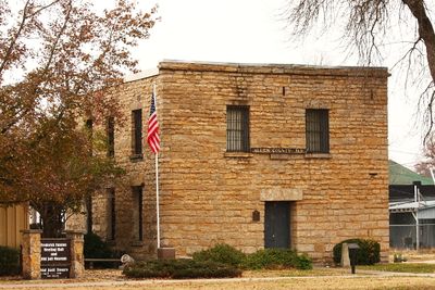
Allen County, County in southeastern Kansas, United States
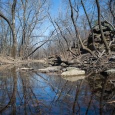
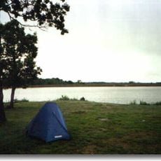
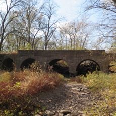
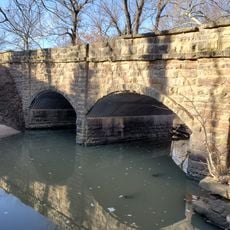
Allen County is an administrative division in southeastern Kansas with rolling terrain and fertile farmland. The Neosho River and several creek systems run through the landscape, shaping its natural geography.
The county was established in 1855 and named after William Allen, a United States Senator from Ohio who backed westward expansion. Natural gas discoveries near Iola in the early 1900s brought industrial growth and drew more residents to the area.
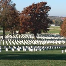
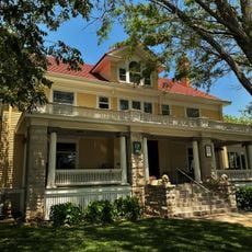
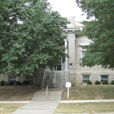
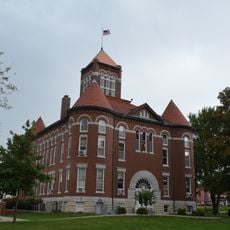
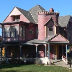
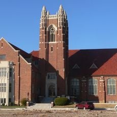
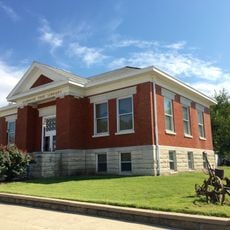
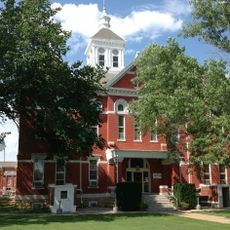
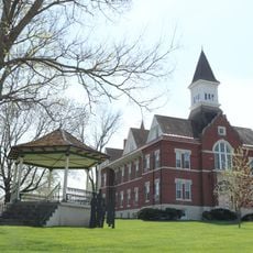
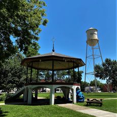
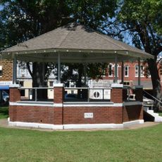
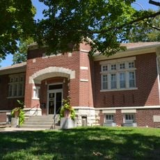
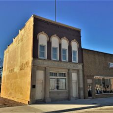
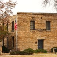
Nine towns including Iola, Humboldt, and Moran each maintain their own identity through local markets and community gathering spaces. The way residents use these public areas shows how each settlement has developed its own character over time.
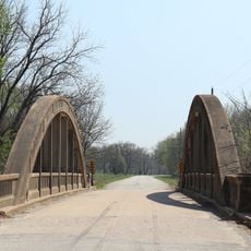
Three main highways, US 169, US 54, and US 59, connect the county to nearby metropolitan areas like Kansas City, Wichita, and Tulsa. These routes make it easy for visitors to enter the region or travel across it.
Natural gas reserves found in the area led to unexpected industrial growth and made Iola an early energy production hub. This discovery permanently shifted the region's economy and how people settled across the county.
Location: Kansas
Inception: August 25, 1855
Capital city: Iola
Shares border with: Anderson County, Neosho County, Linn County, Bourbon County, Coffey County, Woodson County, Wilson County
Website: http://AllenCounty.org
GPS coordinates: 37.88330,-95.28330
Latest update: December 7, 2025 20:45
Fort Scott National Cemetery
51 km
Cross Timbers State Park
59 km
Crawford State Park
49.6 km
Allen County Jail
11.4 km
Sennett and Bertha Kirk House
44.5 km
Girard Public Library
56.7 km
Anderson County Courthouse
44.5 km
Northrup House
11.1 km
Landers Creek Bridge
51.1 km
First Presbyterian Church
49.6 km
Burlington Carnegie Free Library
52.8 km
Burlington Opry
52.9 km
Woodson County Courthouse
39.5 km
St. John's Episcopal Church
57 km
First Presbyterian Church
56.5 km
First Congregational Church
50.7 km
Julius A. Wayland House
56 km
Linn County Courthouse
50.5 km
City Square Park Bandstand
15.7 km
Lander's Wagon and Carriage Shop
16.1 km
State Street Bridge
34.8 km
Yates Center Courthouse Square Historic District
39.7 km
Mine Creek Bridge
59.1 km
Yates Center Carnegie Library
39.4 km
Brush Creek Bridge
58.6 km
State Bank of Girard
56.9 km
Murray High School
27.5 km
Martin and Osa Johnson Safari Museum
26.8 kmVisited this place? Tap the stars to rate it and share your experience / photos with the community! Try now! You can cancel it anytime.
Discover hidden gems everywhere you go!
From secret cafés to breathtaking viewpoints, skip the crowded tourist spots and find places that match your style. Our app makes it easy with voice search, smart filtering, route optimization, and insider tips from travelers worldwide. Download now for the complete mobile experience.
A unique approach to discovering new places❞
— Le Figaro
All the places worth exploring❞
— France Info
A tailor-made excursion in just a few clicks❞
— 20 Minutes