Bourbon County

Log in to your account

AroundUs is a community-driven map of interesting places, built by curious explorers like you. It grows with every review, story, and photo you share.
Connect to save your favorite spots, contribute locations, and create personalized routes.
By continuing, you accept our Terms and Conditions and our Privacy Policy
Add to collection
Map
Suggest a change
Share

Bourbon County, Administrative county in southeastern Kansas, United States.

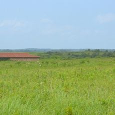
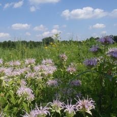
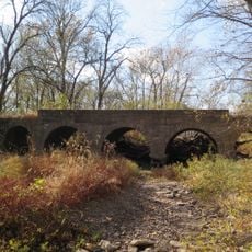
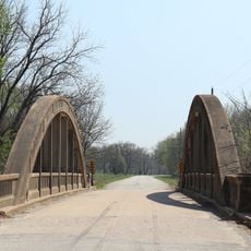
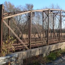
Bourbon County is an administrative area in southeastern Kansas with Fort Scott as its seat, set amid rural farmland and small towns. The region spreads across open landscapes with a mix of grassland and scattered communities connected by country roads.

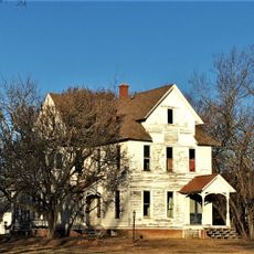
The county was established in 1855 from lands acquired through the Louisiana Purchase during America's westward expansion into the Great Plains. This period brought settlers who developed farms and built communities across the previously open prairie.

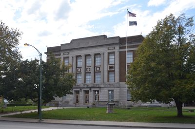
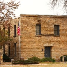
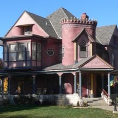
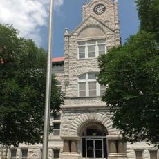
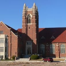
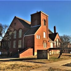
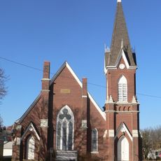
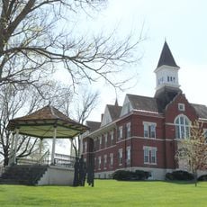
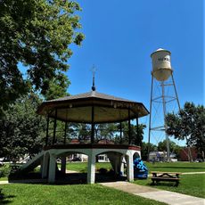
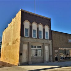
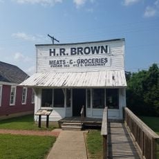
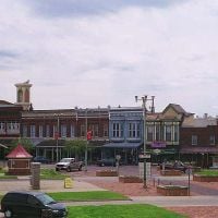
Fort Scott, the county seat, shows how local traditions remain woven into community life through schools, shops, and gatherings that reflect pioneer heritage.

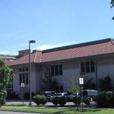
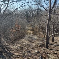
Fort Scott serves as the main hub for services and is the best place to start exploring the county. The area is best explored by car, as towns and attractions are spread across rural roads throughout the region.

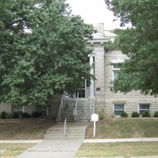
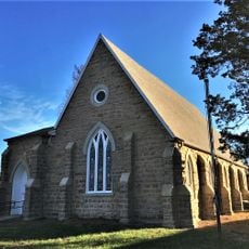
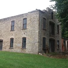
Fort Scott contains preserved military buildings from the 1800s that once defended the western frontier. Walking through these structures gives visitors a chance to see how soldiers lived and worked during territorial times.

Location: Kansas

Inception: August 30, 1855

Capital city: Fort Scott

Shares border with: Linn County, Crawford County, Anderson County, Allen County, Neosho County, Vernon County

Website: http://BourbonCountyKS.org

GPS coordinates: 37.85000,-94.85000

Latest update: December 8, 2025 13:40

Photos
Around this place
Prairie State Park
United States of America

Prairie State Park

44.9 km
Fort Scott National Cemetery
United States of America

Fort Scott National Cemetery

12.8 km
Crawford State Park
United States of America

Crawford State Park

24 km
Allen County Jail
United States of America

Allen County Jail

49.2 km
Marais des Cygnes National Wildlife Refuge
United States of America

Marais des Cygnes National Wildlife Refuge

45.3 km
Pittsburg Public Library
United States of America

Pittsburg Public Library

50.5 km
Girard Public Library
United States of America

Girard Public Library

37.8 km
Northrup House
United States of America

Northrup House

48.9 km
Landers Creek Bridge
United States of America

Landers Creek Bridge

49.5 km
Vernon County Courthouse
United States of America

Vernon County Courthouse

43.3 km
Infirmary Building, Missouri State Hospital Number 3
United States of America

Infirmary Building, Missouri State Hospital Number 3

43.1 km
First Presbyterian Church
United States of America

First Presbyterian Church

11.3 km
St. John's Episcopal Church
United States of America

St. John's Episcopal Church

38.1 km
First Presbyterian Church
United States of America

First Presbyterian Church

37.4 km
First Congregational Church
United States of America

First Congregational Church

12.5 km
Julius A. Wayland House
United States of America

Julius A. Wayland House

36.7 km
Linn County Courthouse
United States of America

Linn County Courthouse

32.7 km
City Square Park Bandstand
United States of America

City Square Park Bandstand

51.7 km
Lander's Wagon and Carriage Shop
United States of America

Lander's Wagon and Carriage Shop

52.2 km
State Street Bridge
United States of America

State Street Bridge

46.2 km
Mine Creek Bridge
United States of America

Mine Creek Bridge

35.2 km
State Bank of Girard
United States of America

State Bank of Girard

37.9 km
Murray High School
United States of America

Murray High School

56.9 km
Long Shoals Bridge
United States of America

Long Shoals Bridge

25.7 km
Martin and Osa Johnson Safari Museum
United States of America

Martin and Osa Johnson Safari Museum

56.2 km
Marais des Cygnes Massacre Site
United States of America

Marais des Cygnes Massacre Site

52.1 km
Crawford County Historical Museum
United States of America

Crawford County Historical Museum

48 km
Fox Theater
United States of America

Fox Theater

50.5 km
Show the full map
Reviews

Visited this place? Tap the stars to rate it and share your experience / photos with the community! Try now! You can cancel it anytime.

Administrative divisions
« Bourbon County - Administrative county in southeastern Kansas, United States » is provided by Around Us (aroundus.com). Images and texts are derived from Wikimedia project under a Creative Commons license. You are allowed to copy, distribute, and modify copies of this page, under the conditions set by the license, as long as this note is clearly visible.

Discover hidden gems everywhere you go!

From secret cafés to breathtaking viewpoints, skip the crowded tourist spots and find places that match your style. Our app makes it easy with voice search, smart filtering, route optimization, and insider tips from travelers worldwide. Download now for the complete mobile experience.

Around Us App Screenshot

A unique approach to discovering new places

Le Figaro

All the places worth exploring

France Info

A tailor-made excursion in just a few clicks

20 Minutes