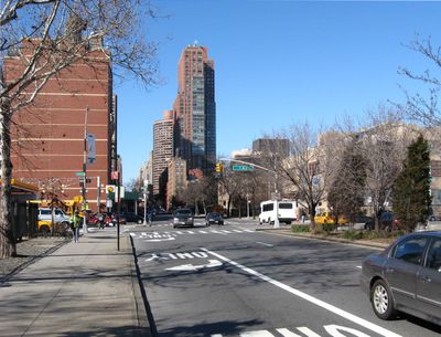
96th Street, major two-way street in East Harlem and the Upper West Side
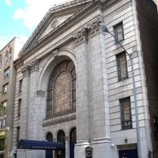
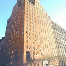
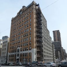
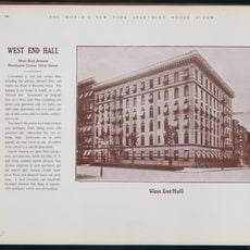
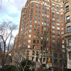
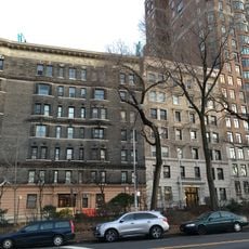
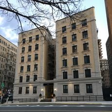
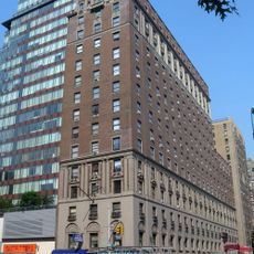
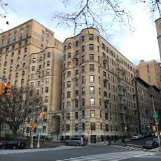
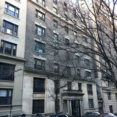
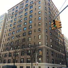
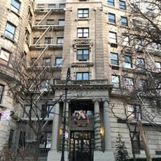
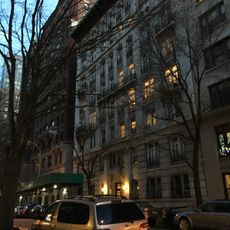
96th Street is an east-west street in Manhattan that runs from Riverside Drive on the Hudson River side all the way to the FDR Drive on the East River side, passing through Central Park along the way. It marks a boundary between several neighborhoods, including the Upper West Side, the Upper East Side, and East Harlem.
The street was laid out in 1811 as part of the Commissioners' Plan, the grid that shaped how Manhattan would grow over the following century. Over time, it became a natural dividing line between neighborhoods as the city expanded northward and different communities settled on each side.
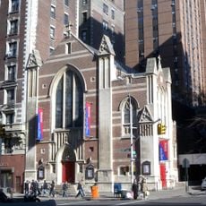
The Islamic Cultural Center on Third Avenue is one of the largest mosques in New York, with a dome and minaret that stand out clearly against the surrounding buildings. Walking past it gives a sense of how diverse the neighborhoods along this street have become over the generations.
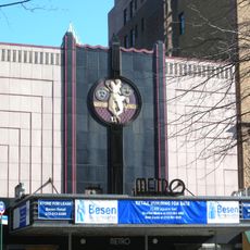
The street is served by subway stations on the west side at Central Park West and on the east side at Lexington Avenue and Second Avenue, making it straightforward to reach from different parts of the city. Walking from one end to the other takes a good while, so picking a section is a practical way to explore.
On the west side, the 96th Street subway station was rebuilt as part of the extension of the Q line, which opened in 2017 and brought a brand-new station with a distinctive design to this part of Manhattan. It was the first new subway station to open in this area in decades.
The community of curious travelers
AroundUs brings together thousands of curated places, local tips, and hidden gems, enriched daily by 60,000 contributors worldwide.