Livingston County

Log in to your account

AroundUs is a community-driven map of interesting places, built by curious explorers like you. It grows with every review, story, and photo you share.
Connect to save your favorite spots, contribute locations, and create personalized routes.
By continuing, you accept our Terms and Conditions and our Privacy Policy
Add to collection
Map
Suggest a change
Share

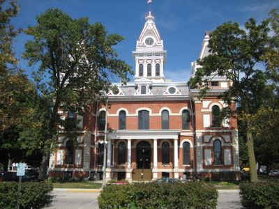
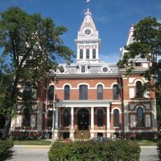
Livingston County, Administrative county in Central Illinois, United States.

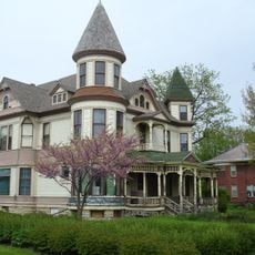
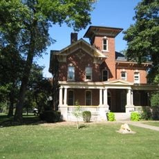
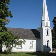
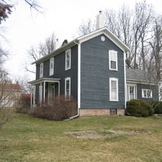
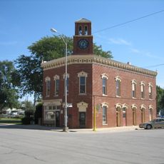
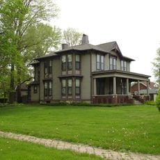
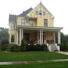
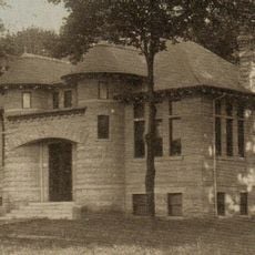
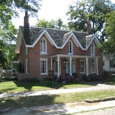
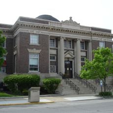
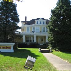
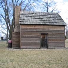
Livingston County is an administrative county in Central Illinois covering a large rural area with scattered towns and extensive farmland throughout. The landscape consists of gently rolling terrain, open fields, and dispersed settlement patterns typical of the agricultural Midwest.

The county was established in 1837 as Illinois continued its westward expansion, carved from adjoining counties during a period of rapid settlement. It was named after Edward Livingston, a prominent American statesman who held important national offices.

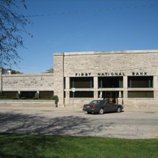
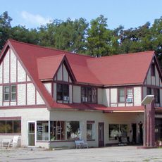
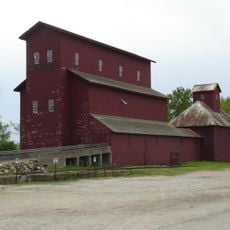
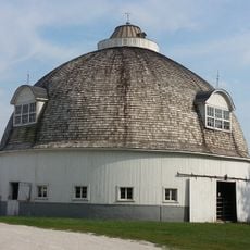
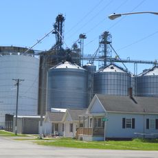
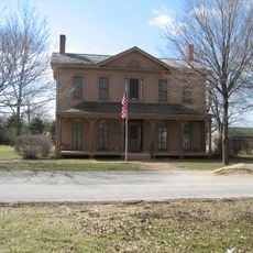
Agricultural communities form the backbone of daily life here, with corn and livestock farming shaping local traditions and family-based enterprises. The rural character influences how people work together and maintain connections across the scattered towns and villages.

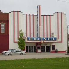
Two main highways, Interstate 55 and U.S. Highway 24, pass through the area and connect it to larger regional cities. Most visitor services and amenities are found in the scattered town centers rather than spread across the broader countryside.

The area is divided into thirty separate townships, each operating independently with its own local government structure and decision-making authority. This highly decentralized system of administration can seem surprisingly fragmented to visitors unfamiliar with how rural Midwestern governance works.

Location: Illinois

Inception: February 27, 1837

Capital city: Pontiac

Shares border with: LaSalle County, Grundy County, Kankakee County, Ford County, McLean County, Woodford County

Website: http://livingstoncounty-il.org/wordpress

GPS coordinates: 40.89000,-88.56000

Latest update: December 7, 2025 19:22

Around this place
Show the full map
Frank L. Smith Bank
United States of America

Frank L. Smith Bank

25.3 km
Duncan Manor
United States of America

Duncan Manor

46.2 km
Benjaminville Friends Meeting House and Burial Ground
United States of America

Benjaminville Friends Meeting House and Burial Ground

50.5 km
Livingston County Courthouse
United States of America

Livingston County Courthouse

5.9 km
Sprague's Super Service
United States of America

Sprague's Super Service

54.6 km
Armour's Warehouse
United States of America

Armour's Warehouse

48.5 km
Silas Williams House
United States of America

Silas Williams House

34.4 km
Thomas A. Beach House
United States of America

Thomas A. Beach House

16.2 km
Pioneer Gothic Church
United States of America

Pioneer Gothic Church

25.5 km
Grand Village of the Kickapoo
United States of America

Grand Village of the Kickapoo

50.8 km
Hubbard House
United States of America

Hubbard House

47.7 km
David Hyatt Van Dolah House
United States of America

David Hyatt Van Dolah House

33.9 km
Fairbury City Hall
United States of America

Fairbury City Hall

16.4 km
Ruffin Drew Fletcher House
United States of America

Ruffin Drew Fletcher House

34.5 km
Alfred Phillips House
United States of America

Alfred Phillips House

49.8 km
Ransom Water Tower
United States of America

Ransom Water Tower

30.6 km
El Paso Public Library
United States of America

El Paso Public Library

42.1 km
Raymond Schulz Round Barn
United States of America

Raymond Schulz Round Barn

8.4 km
Jones House
United States of America

Jones House

5.7 km
Benson Water Tower
United States of America

Benson Water Tower

47.4 km
Streator Public Library
United States of America

Streator Public Library

34.4 km
Children's Village-Illinois Soldiers' and Sailors' Children's School
United States of America

Children's Village-Illinois Soldiers' and Sailors' Children's School

54.3 km
John R. Oughton House
United States of America

John R. Oughton House

24.4 km
Majestic Theatre
United States of America

Majestic Theatre

34.4 km
Matthew T. Scott House
United States of America

Matthew T. Scott House

21.2 km
John Patton Log Cabin
United States of America

John Patton Log Cabin

32.7 km
Onarga Community Public Library District
United States of America

Onarga Community Public Library District

50.4 km
Hy-Vee
United States of America

Hy-Vee

54.7 km
Show the full map

Reviews

Visited this place? Tap the stars to rate it and share your experience / photos with the community! Try now! You can cancel it anytime.

« Livingston County - Administrative county in Central Illinois, United States » is provided by Around Us (aroundus.com). Images and texts are derived from Wikimedia project under a Creative Commons license. You are allowed to copy, distribute, and modify copies of this page, under the conditions set by the license, as long as this note is clearly visible.

Discover hidden gems everywhere you go!

From secret cafés to breathtaking viewpoints, skip the crowded tourist spots and find places that match your style. Our app makes it easy with voice search, smart filtering, route optimization, and insider tips from travelers worldwide. Download now for the complete mobile experience.

Around Us App Screenshot

A unique approach to discovering new places

Le Figaro

All the places worth exploring

France Info

A tailor-made excursion in just a few clicks

20 Minutes