Enable Location

We need your location to show you interesting places around you

Discover nearby places

Find interesting locations and hidden gems around you

Precise directions

Get accurate directions and distances to places

Your location is never shared with other users. It's only used when you tap the location button.

Cape Girardeau County

Log in to your account

Start exploring — it's free

Trusted by 61,976 travelers worldwide

Continue with Google
Continue with Apple
or

We will send you a code to connect

By continuing, you accept our Terms and Conditions and our Privacy Policy

Check your inbox

We've sent a pincode in your inbox. Please enter the code below.

Cape Girardeau County, Administrative division in southeastern Missouri, United States.

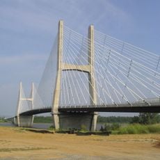
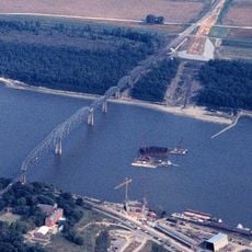
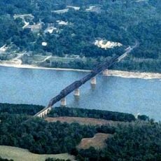
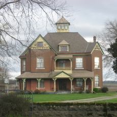
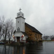
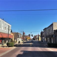
Cape Girardeau County is an administrative division in southeastern Missouri along the Mississippi River. The area includes river bottomlands in eastern sections, while western portions feature forested terrain.

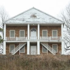
The county was established in 1812 and takes its name from a French officer who established a trading post in the region. These origins continue to shape the area's historical character today.

The region carries the name of a French trader who operated here in the 18th century. Visitors can still see traces of this early settlement in historic buildings and local stories today.

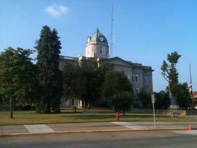
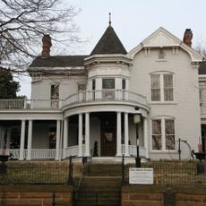
Jackson, the county seat, houses public offices handling property management, elections, and public records. The Mississippi River shapes the landscape and provides starting points for outdoor activities throughout the area.

The original 1818 courthouse was destroyed by fire in 1870, after which a new building was constructed in 1908. This current courthouse reflects how the community rebuilt after disaster.

The community of curious travelers

AroundUs brings together thousands of curated places, local tips, and hidden gems, enriched daily by 60,000 contributors worldwide.

Start exploring
Location
Inception
October 1, 1812
Capital city
Jackson
Part of
Cape Girardeau, MO-IL Metropolitan Statistical Area
Shares border with
Perry County, Union County, Alexander County, Scott County, Stoddard County, Bollinger County
GPS coordinates
37.38000,-89.68000
Latest update
December 7, 2025 19:22
Around this place
Bill Emerson Memorial Bridge
United States of America

Bill Emerson Memorial Bridge

17.3 km
Trail of Tears State Park
United States of America

Trail of Tears State Park

19.4 km
Bollinger Mill State Historic Site
United States of America

Bollinger Mill State Historic Site

10.9 km
Cape Girardeau Bridge
United States of America

Cape Girardeau Bridge

17.3 km
Thebes Bridge
United States of America

Thebes Bridge

26.2 km
Fort D
United States of America

Fort D

16.8 km
Cathedral of St. Mary of the Annunciation
United States of America

Cathedral of St. Mary of the Annunciation

16.2 km
Glenn House
United States of America

Glenn House

16.8 km
St. Maurus Roman Catholic Church
United States of America

St. Maurus Roman Catholic Church

28.8 km
Hanover Lutheran Church
United States of America

Hanover Lutheran Church

11 km
St. John Evangelical Lutheran Church
United States of America

St. John Evangelical Lutheran Church

14 km
St. Vincent De Paul Catholic Church
United States of America

St. Vincent De Paul Catholic Church

16.7 km
Thebes Courthouse
United States of America

Thebes Courthouse

26.5 km
McKendree Chapel
United States of America

McKendree Chapel

5.4 km
B'Nai Israel Synagogue
United States of America

B'Nai Israel Synagogue

16.6 km
Esquire Theater
United States of America

Esquire Theater

15.5 km
Thomas J. and Caroline McClure House
United States of America

Thomas J. and Caroline McClure House

23.3 km
Cape Girardeau Commercial Historic District
United States of America

Cape Girardeau Commercial Historic District

16.4 km
Courthouse-Seminary Neighborhood Historic District
United States of America

Courthouse-Seminary Neighborhood Historic District

16.5 km
Oliver-Leming House
United States of America

Oliver-Leming House

15.6 km
Abraham Byrd House
United States of America

Abraham Byrd House

8.1 km
Trinity Lutheran Church
United States of America

Trinity Lutheran Church

24.4 km
Broadway Theatre
United States of America

Broadway Theatre

15.7 km
Southeast Missourian Building
United States of America

Southeast Missourian Building

16.2 km
Charles Isaac and Lizzie Hunter Moore Anderson House
United States of America

Charles Isaac and Lizzie Hunter Moore Anderson House

31.2 km
St. James A.M.E. Church
United States of America

St. James A.M.E. Church

15.9 km
Old Appleton Bridge
United States of America

Old Appleton Bridge

24.6 km
Broadway Commercial Historic District
United States of America

Broadway Commercial Historic District

15.8 km
Show the full map
« Cape Girardeau County - Administrative division in southeastern Missouri, United States » is provided by Around Us (aroundus.com). Images and texts are derived from Wikimedia project under a Creative Commons license. You are allowed to copy, distribute, and modify copies of this page, under the conditions set by the license, as long as this note is clearly visible.

Discover hidden gems everywhere you go!

From secret cafés to breathtaking viewpoints, skip the crowded tourist spots and find places that match your style. Our app makes it easy with voice search, smart filtering, route optimization, and insider tips from travelers worldwide. Download now for the complete mobile experience.

Around Us App Screenshot

A unique approach to discovering new places

Le Figaro

All the places worth exploring

France Info

A tailor-made excursion in just a few clicks

20 Minutes

Around Us
Travel Guide & Maps
Download

Send to your phone

QR Code
1

Open the camera app on your mobile.

2

Point at the QR code with your camera. A notification will appear.

3

Tap the notification to open the link.