Enable Location

We need your location to show you interesting places around you

Discover nearby places

Find interesting locations and hidden gems around you

Precise directions

Get accurate directions and distances to places

Your location is never shared with other users. It's only used when you tap the location button.

Wapello County

Log in to your account

Start exploring — it's free

Trusted by 61,343 travelers worldwide

Continue with Google
Continue with Apple
or

We will send you a code to connect

By continuing, you accept our Terms and Conditions and our Privacy Policy

Check your inbox

We've sent a pincode in your inbox. Please enter the code below.

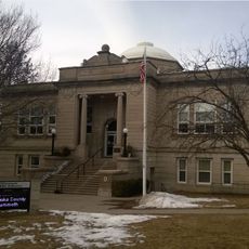
Wapello County, Administrative county in southeastern Iowa, United States

Description

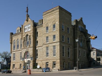
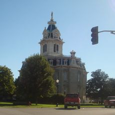
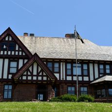
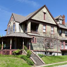
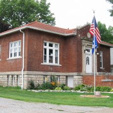
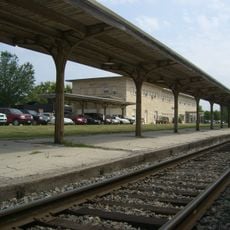
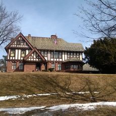
Wapello County is an administrative area in southeastern Iowa with the Des Moines River flowing through its landscape. The region consists of rolling farmland and several towns, with Ottumwa serving as the county seat.

History

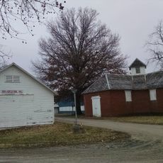
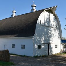
The county developed in the 1840s when settlers began arriving and establishing communities across the region. This early growth transformed the landscape from indigenous territory into an agricultural area that remains central to its character today.

Culture

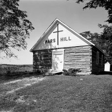
The county takes its name from Chief Wapello of the Meskwaki people, who lived in this area before European settlers arrived. Local place names and traditions today still reflect this indigenous heritage.

Practical

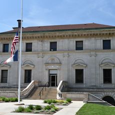
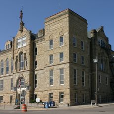
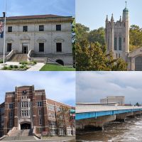
Ottumwa serves as the main hub for visiting the county, where you can find government offices and local services. The region is best visited during spring through early fall when weather is pleasant for exploring the rural roads and towns.

Did you know?

Ottumwa, the county seat, became known in the 1980s as a center for video game development and culture in North America. This surprising connection to technology history reveals how a small town gained national recognition during the early gaming era.

Location
Inception
1843
Capital city
Ottumwa
Shares border with
Keokuk County, Davis County, Mahaska County, Monroe County, Jefferson County, Appanoose County, Van Buren County
GPS coordinates
41.02944,-92.40889
Latest update
December 7, 2025 20:42

AroundUs brings together thousands of curated places, local tips, and hidden gems, enriched daily by 60,000 contributors worldwide. Discover all places nearby (Iowa).

Around this place
American Gothic House
United States of America

American Gothic House

20.3 km
Ottumwa City Hall
United States of America

Ottumwa City Hall

1.2 km
B'nai Jacob Synagogue
United States of America

B'nai Jacob Synagogue

1.7 km
Mars Hill
United States of America

Mars Hill

15.1 km
St. Joseph Hospital Historic District
United States of America

St. Joseph Hospital Historic District

1.2 km
Wapello County Courthouse
United States of America

Wapello County Courthouse

1.1 km
Jefferson Street Viaduct
United States of America

Jefferson Street Viaduct

2.1 km
Jay Funeral Home
United States of America

Jay Funeral Home

1.1 km
Davis County Courthouse
United States of America

Davis County Courthouse

30.8 km
Ottumwa Public Library
United States of America

Ottumwa Public Library

1.1 km
Vogel Place Historic District
United States of America

Vogel Place Historic District

1 km
McHaffey Opera House
United States of America

McHaffey Opera House

20 km
First National Bank
United States of America

First National Bank

1.4 km
Trinity Episcopal Church
United States of America

Trinity Episcopal Church

1.1 km
Fifth Street Bluff Historic District
United States of America

Fifth Street Bluff Historic District

1.2 km
J.W. Garner Building
United States of America

J.W. Garner Building

1.2 km
Court Hill Historic District
United States of America

Court Hill Historic District

464 m
Eldon Public Library
United States of America

Eldon Public Library

19.6 km
Historic Railroad District
United States of America

Historic Railroad District

1 km
Benson Block
United States of America

Benson Block

1.3 km
Foster/Bell House
United States of America

Foster/Bell House

1.1 km
Hofmann Building
United States of America

Hofmann Building

1.2 km
North Fellows Historic District
United States of America

North Fellows Historic District

1 km
Big 4 Fair Art Hall
United States of America

Big 4 Fair Art Hall

21.1 km
Fred and Rosa Fulton Barn
United States of America

Fred and Rosa Fulton Barn

26.9 km
Ottumwa Young Women's Christian Association
United States of America

Ottumwa Young Women's Christian Association

954 m
American Gothic House Center
United States of America

American Gothic House Center

20.3 km
Greater Second Street Historic District
United States of America

Greater Second Street Historic District

1.4 km
Show the full map
Administrative divisions
« Wapello County - Administrative county in southeastern Iowa, United States » is provided by Around Us (aroundus.com). Images and texts are derived from Wikimedia project under a Creative Commons license. You are allowed to copy, distribute, and modify copies of this page, under the conditions set by the license, as long as this note is clearly visible.

Discover hidden gems everywhere you go!

From secret cafés to breathtaking viewpoints, skip the crowded tourist spots and find places that match your style. Our app makes it easy with voice search, smart filtering, route optimization, and insider tips from travelers worldwide. Download now for the complete mobile experience.

Around Us App Screenshot

A unique approach to discovering new places

Le Figaro

All the places worth exploring

France Info

A tailor-made excursion in just a few clicks

20 Minutes

Around Us
Travel Guide & Maps
Download

Send to your phone

QR Code
1

Open the camera app on your mobile.

2

Point at the QR code with your camera. A notification will appear.

3

Tap the notification to open the link.