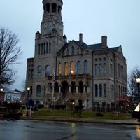
Washington County, County in southern Indiana, United States.
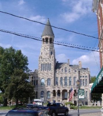
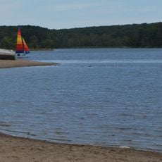
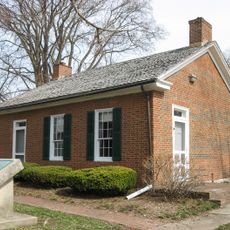
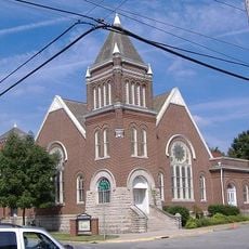
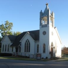
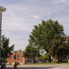
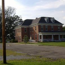
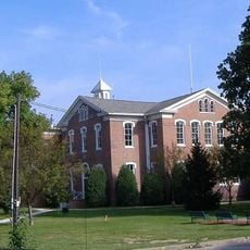
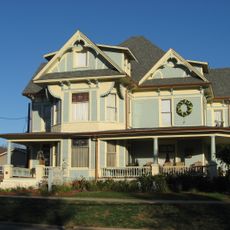
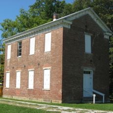
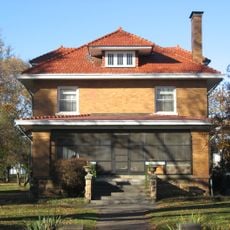
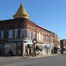
Washington County is an administrative division in southern Indiana with farmland, forests, and residential communities centered around the city of Salem. The landscape spreads across several hundred square miles containing both agricultural areas and settled neighborhoods.
The county was established in 1814 as Indiana underwent territorial reorganization during its early years of statehood. This period saw the frontier divided into organized administrative districts.
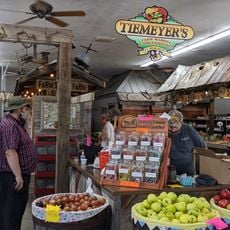
Communities here organize annual fairs and celebrations where neighbors gather around local food and traditional activities that reflect rural life. These events show how people stay connected to their agricultural roots and each other.
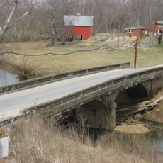
The county is accessible via State Road 56, which connects with Interstate 65 for direct routes to Louisville and Indianapolis. These road connections make it easy for visitors to navigate and reach other nearby cities.
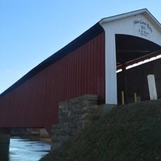
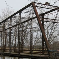
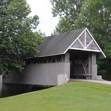
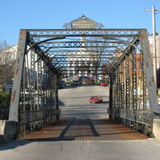
The county features several historic covered bridges still in use today, which showcase early 19th-century building techniques and design. These structures offer a rare glimpse into how people once traveled and engineered solutions across waterways.
The community of curious travelers
AroundUs brings together thousands of curated places, local tips, and hidden gems, enriched daily by 60,000 contributors worldwide.