Indiana, U.S. state in Midwestern United States
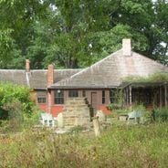
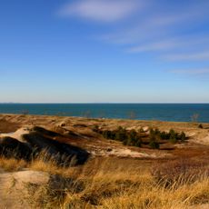
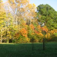
This state covers 94,000 square kilometers (36,000 square miles) between Lake Michigan and the Ohio River, encompassing flat plains, agricultural lands, and cities including Indianapolis, Fort Wayne, and Evansville. Northern regions border one of the Great Lakes while the southern portion features rolling hills and wooded valleys.
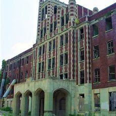
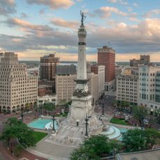
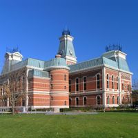
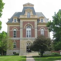
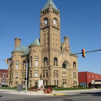
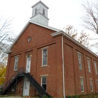
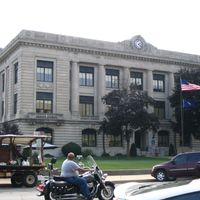
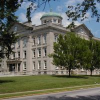
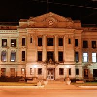
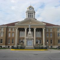
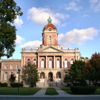
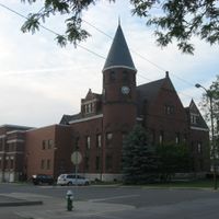
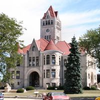
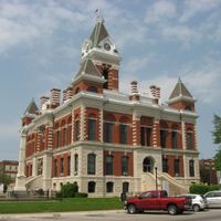
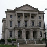
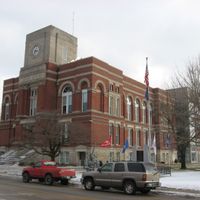
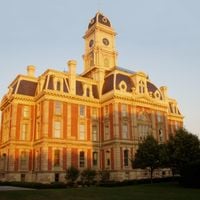
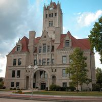
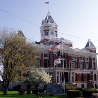
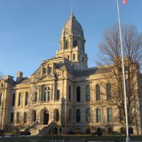
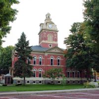
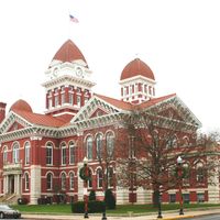
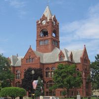
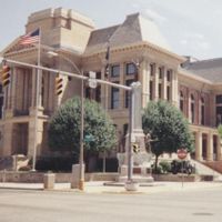
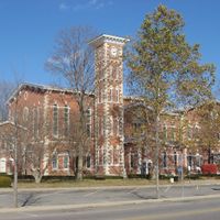
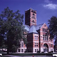
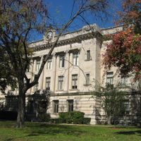
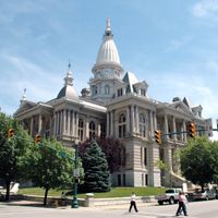
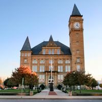
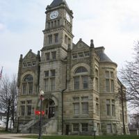
The region shifted from indigenous territory to statehood in 1816, with Corydon serving as the first capital before Indianapolis assumed this role in 1825. Throughout the 19th century, settlers from Europe arrived and transformed forests into farmland and small communities into growing industrial cities.
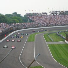
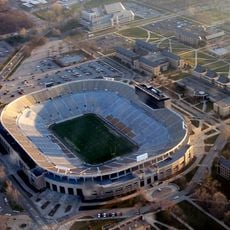
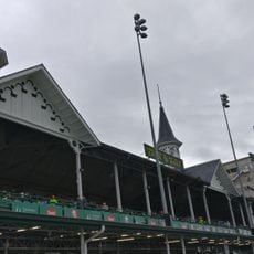
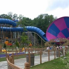
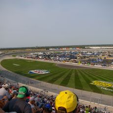
During race season in May, motorsport fans gather at the Indianapolis Motor Speedway where team tents and driver paddocks have become part of the local identity. In smaller towns, high school basketball games and county fairs shape community life, bringing neighbors together and showcasing regional products.
An extensive network of interstate highways connects Chicago, Cincinnati, and Louisville, making the area an important transportation hub in the Midwest. Travelers can choose between northern lakefront areas, central urban zones, and southern hill country, each offering different landscapes.
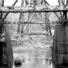
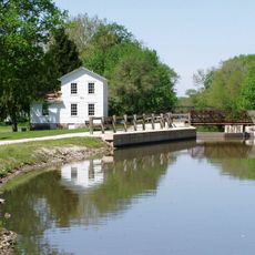
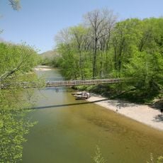
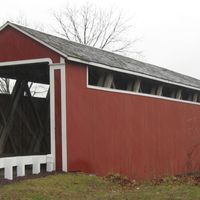
The area ranks among the top five corn producers nationally, with fields stretching across northern and central regions and contributing significantly to American agriculture. Numerous covered wooden bridges from the 19th century still span small rivers in rural counties, offering glimpses into earlier construction methods.
The community of curious travelers
AroundUs brings together thousands of curated places, local tips, and hidden gems, enriched daily by 60,000 contributors worldwide.