Boone County

Log in to your account

AroundUs is a community-driven map of interesting places, built by curious explorers like you. It grows with every review, story, and photo you share.
Connect to save your favorite spots, contribute locations, and create personalized routes.
Continue with Google
Continue with Apple
Continue with X
Continue with Facebook
Continue with email
By continuing, you accept our Terms and Conditions and our Privacy Policy
Create an account
Add to collection
Map
Suggest a change
Share

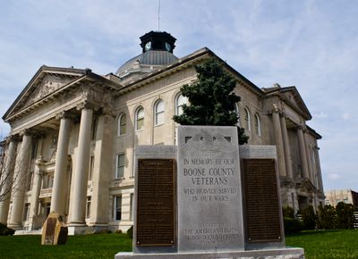
Boone County, Administrative county in Indiana, United States.

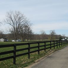
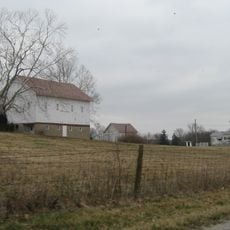
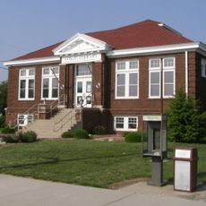
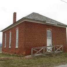
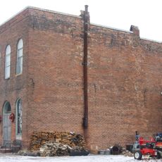
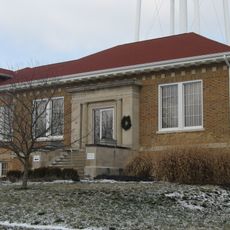
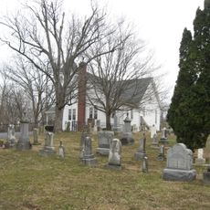
Boone County is an administrative county in Indiana situated between Indianapolis and Lafayette. The area features rolling farmland, residential communities spread across twelve townships, and Lebanon as its county seat.

The county was established on April 1, 1830, and named after pioneer Daniel Boone, who explored territories west of the Appalachian Mountains. This naming honored the legacy of early American frontier exploration.

Residents gather regularly at county fairs and community celebrations where local traditions and agricultural heritage are shared among neighbors. These events shape how people in different townships stay connected to one another.

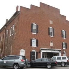
Lebanon, the county seat, sits at the intersection of Interstate 65 and State Road 32, making it easy to reach other regions. A car is essential for exploring the rural landscape and getting around the various townships.

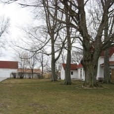
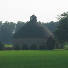
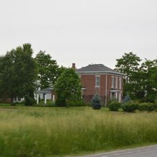
Despite its proximity to the Indianapolis Metropolitan Area, the county maintains extensive cornfields and soybean crops across its terrain. This blend of rural character alongside urban proximity shapes how the region functions economically.

Location: Indiana

Inception: April 1, 1830

Capital city: Lebanon

Shares border with: Clinton County, Hamilton County, Marion County, Hendricks County, Montgomery County

Website: http://boonecounty.in.gov

GPS coordinates: 40.05000,-86.47000

Latest update: December 22, 2025 15:38

Photos
Around this place
United States of America

Old Indiana Fun Park

12 km
Oak Hill Cemetery
United States of America

Oak Hill Cemetery

1.3 km
Boone County Courthouse
United States of America

Boone County Courthouse

274 m
Scotland Bridge
United States of America

Scotland Bridge

14.5 km
Strange Nathanial Cragun House
United States of America

Strange Nathanial Cragun House

285 m
Traders Point Eagle Creek Rural Historic District
United States of America

Traders Point Eagle Creek Rural Historic District

20.3 km
Town Hall
United States of America

Town Hall

20.9 km
Pryor Brock Farmstead
United States of America

Pryor Brock Farmstead

16.6 km
Memorial Park Water Park
United States of America

Memorial Park Water Park

1.1 km
Thorntown Public Library
United States of America

Thorntown Public Library

14.7 km
Ulen Historic District
United States of America

Ulen Historic District

1.6 km
Kirklin Public Library
United States of America

Kirklin Public Library

18.5 km
Howard School
United States of America

Howard School

15.2 km
Maplelawn Farmstead
United States of America

Maplelawn Farmstead

18.2 km
Andrew B. VanHuys Round Barn
United States of America

Andrew B. VanHuys Round Barn

3.4 km
Rosenberger Building
United States of America

Rosenberger Building

22.7 km
Colfax Carnegie Library
United States of America

Colfax Carnegie Library

23.1 km
Traders Point Hunt Rural Historic District
United States of America

Traders Point Hunt Rural Historic District

17.6 km
Simpson-Breedlove House
United States of America

Simpson-Breedlove House

19 km
United States of America

Pittsboro Golf Club

20.5 km
United States of America

Quail Creek Golf Club

19.4 km
United States of America

White Lick Golf Course

15.1 km
United States of America

Hickory Bend Golf Course

14.4 km
United States of America

Wolf Run Golf Club

15.4 km
United States of America

Zionsville Golf Course

20.4 km
United States of America

Golf Club of Indiana

15.3 km
United States of America

Holliday Farms

19 km
United States of America

Zionsville Performing Arts Center

19.5 km
Show the full map
Reviews

Visited this place? Tap the stars to rate it and share your experience / photos with the community! Try now! You can cancel it anytime.

Administrative divisions
« Boone County - Administrative county in Indiana, United States » is provided by Around Us (aroundus.com). Images and texts are derived from Wikimedia project under a Creative Commons license. You are allowed to copy, distribute, and modify copies of this page, under the conditions set by the license, as long as this note is clearly visible.

Discover hidden gems everywhere you go!

From secret cafés to breathtaking viewpoints, skip the crowded tourist spots and find places that match your style. Our app makes it easy with voice search, smart filtering, route optimization, and insider tips from travelers worldwide. Download now for the complete mobile experience.

Around Us App Screenshot

A unique approach to discovering new places

Le Figaro

All the places worth exploring

France Info

A tailor-made excursion in just a few clicks

20 Minutes