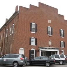
Lebanon, County seat in Central Indiana, United States.
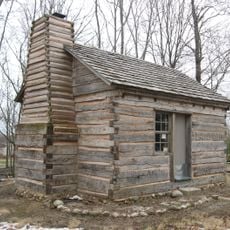
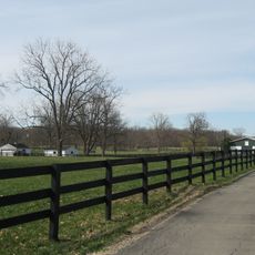
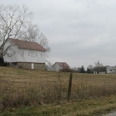
Lebanon is a city in Boone County in central Indiana located at 286 meters elevation, positioned between Indianapolis and Purdue University. The area features agricultural land and scattered woodland patches.
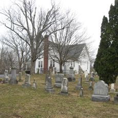
The settlement was founded in 1832 by early residents and got its name from a local commissioner who saw hickory trees resembling the cedars mentioned in Biblical texts. This naming reflects the early religious identity of the community.
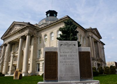
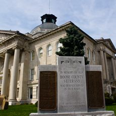
The Boone County Courthouse, built in 1910, dominates downtown with its massive limestone columns and serves as the heart of the community.
The city has over 100 acres of public parks including Memorial Park with an inclusive playground and Stone Eater Bike Park for recreation. These green spaces offer year-round activities for families and cyclists.
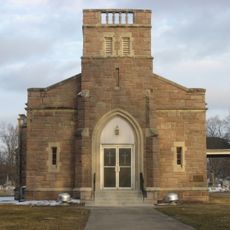
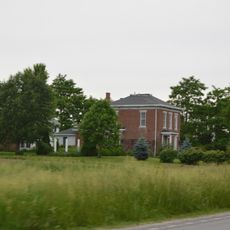
The Historic Cragun House from 1893 operates as a living history museum displaying artifacts from the family's world travels. The house preserves personal items that reflect the adventurous spirit of its former residents.
The community of curious travelers
AroundUs brings together thousands of curated places, local tips, and hidden gems, enriched daily by 60,000 contributors worldwide.