·

Enable Location

We need your location to show you interesting places around you

Discover nearby places

Find interesting locations and hidden gems around you

Precise directions

Get accurate directions and distances to places

Your location is never shared with other users. It's only used when you tap the location button.

Carroll County

Log in to your account

Start exploring — it's free

Trusted by 62,678 travelers worldwide

Continue with Google
Continue with Apple
or

We will send you a code to connect

By continuing, you accept our Terms and Conditions and our Privacy Policy

Check your inbox

We've sent a pincode in your inbox. Please enter the code below.

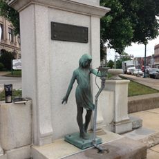
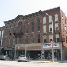
Carroll County, Administrative division in Indiana, United States

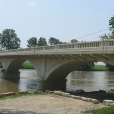
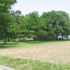
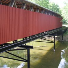
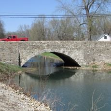
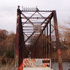
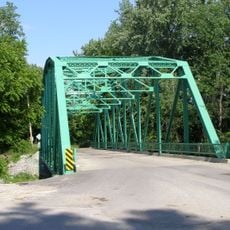
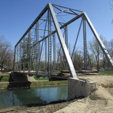
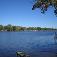
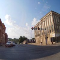
Carroll County is an administrative division in Indiana that includes the city of Delphi and surrounding townships with farmland and open spaces. The Wabash River flows through the area, shaping the landscape with agricultural fields and rural communities.

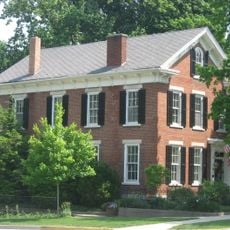
The county was established in 1828 and named after Charles Carroll of Carrollton, the last surviving signer of the Declaration of Independence. The region developed from a frontier area into an agricultural center over the following decades.

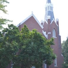
The community here revolves around local schools and public gatherings that bring neighbors together throughout the year. These traditions reveal how deeply people value connection and shared life in the county.

Getting around the county is easiest by car, as roads connect the main towns and surrounding areas well. Spring and summer offer the best conditions for exploring the rural landscape and farmland.

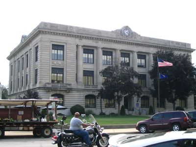
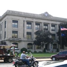
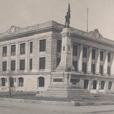
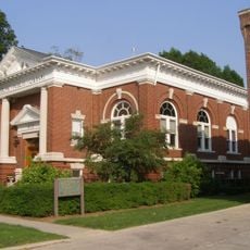
The courthouse was built between 1916 and 1917 and features a distinctive stained glass dome at its center. This building is the third courthouse the county has used, showcasing craftsmanship from that era.

The community of curious travelers

AroundUs brings together thousands of curated places, local tips, and hidden gems, enriched daily by 60,000 contributors worldwide.

Start exploring
Location
Inception
1828
Capital city
Delphi
Shares border with
Cass County, Howard County, Clinton County, White County, Tippecanoe County
GPS coordinates
40.58000,-86.56000
Latest update
December 7, 2025 20:23
Around this place
United States of America

Wabash and Erie Canal

10.3 km
Adams Mill Covered Bridge
United States of America

Adams Mill Covered Bridge

11.5 km
Andrew Thomas House
United States of America

Andrew Thomas House

3.6 km
Wilson Bridge
United States of America

Wilson Bridge

5.3 km
Carroll County Courthouse
United States of America

Carroll County Courthouse

9.7 km
Soldiers and Sailors Monument
United States of America

Soldiers and Sailors Monument

9.7 km
Carrollton Bridge
United States of America

Carrollton Bridge

11.2 km
Adams Mill
United States of America

Adams Mill

11.9 km
Hershey House
United States of America

Hershey House

23 km
Murphy Memorial Drinking Fountain
United States of America

Murphy Memorial Drinking Fountain

9.7 km
Pulaski County Bridge No. 31
United States of America

Pulaski County Bridge No. 31

10.4 km
Delphi Courthouse Square Historic District
United States of America

Delphi Courthouse Square Historic District

9.7 km
Foreman-Case House
United States of America

Foreman-Case House

9.4 km
Barnett-Seawright-Wilson House
United States of America

Barnett-Seawright-Wilson House

9.7 km
Deer Creek Valley Rural Historic District
United States of America

Deer Creek Valley Rural Historic District

6.1 km
Delphi Methodist Episcopal Church
United States of America

Delphi Methodist Episcopal Church

9.7 km
Niewerth Building
United States of America

Niewerth Building

9.6 km
District School No. 3
United States of America

District School No. 3

8.6 km
Wabash and Erie Canal Culvert No. 100
United States of America

Wabash and Erie Canal Culvert No. 100

13.7 km
John Young House
United States of America

John Young House

19.1 km
Lancaster Covered Bridge
United States of America

Lancaster Covered Bridge

13.4 km
Delphi Public Library
United States of America

Delphi Public Library

9.5 km
Burnett's Creek Arch
United States of America

Burnett's Creek Arch

13.6 km
O'Connor Bridge
United States of America

O'Connor Bridge

10.1 km
Tioga Road Bridge
United States of America

Tioga Road Bridge

23.6 km
Wildcat Creek Bridge
United States of America

Wildcat Creek Bridge

12.1 km
Gray Bridge
United States of America

Gray Bridge

10.2 km
Lake Freeman
United States of America

Lake Freeman

21 km
Show the full map
Administrative divisions
« Carroll County - Administrative division in Indiana, United States » is provided by Around Us (aroundus.com). Images and texts are derived from Wikimedia project under a Creative Commons license. You are allowed to copy, distribute, and modify copies of this page, under the conditions set by the license, as long as this note is clearly visible.

Discover hidden gems everywhere you go!

From secret cafés to breathtaking viewpoints, skip the crowded tourist spots and find places that match your style. Our app makes it easy with voice search, smart filtering, route optimization, and insider tips from travelers worldwide. Download now for the complete mobile experience.

Around Us App Screenshot

A unique approach to discovering new places

Le Figaro

All the places worth exploring

France Info

A tailor-made excursion in just a few clicks

20 Minutes

Around Us
Travel Guide & Maps
Download

Send to your phone

QR Code
1

Open the camera app on your mobile.

2

Point at the QR code with your camera. A notification will appear.

3

Tap the notification to open the link.