Wabash and Erie Canal, Historic waterway in Indiana, United States.
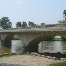
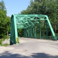
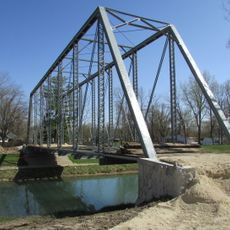
The Wabash and Erie Canal is a historic waterway in Indiana that runs for 460 miles (740 kilometers) across the state, once linking the Great Lakes to the Ohio River. Locks and artificial channels allowed boats to overcome elevation changes and carry goods between distant regions.
Congress granted land rights for the canal project in 1827, and the first work began in 1832 near Fort Wayne. The route reached Evansville in 1853, but high debt and the rise of the railroad soon brought operations to a close.
The town of Delphi keeps the memory of the waterway alive through a museum that explains how locks worked and what role the route played in everyday life. Visitors see replicas of canal boats and learn how families lived and worked along the banks.
Today only sections of the waterway remain visible, especially around Delphi, where a center displays models and panels. The grounds are usually open for short walks along the old route.
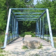
Builders used local timber and sandstone from the region to construct lock gates and side walls. The entire system moved water solely through slope, with no pumps or other mechanical drives needed.
The community of curious travelers
AroundUs brings together thousands of curated places, local tips, and hidden gems, enriched daily by 60,000 contributors worldwide.