Tipton County

Log in to your account

AroundUs is a community-driven map of interesting places, built by curious explorers like you. It grows with every review, story, and photo you share.
Connect to save your favorite spots, contribute locations, and create personalized routes.
Continue with Google
Continue with Apple
Continue with X
Continue with Facebook
Continue with email
By continuing, you accept our Terms and Conditions and our Privacy Policy
Create an account
Add to collection
Map
Suggest a change
Share

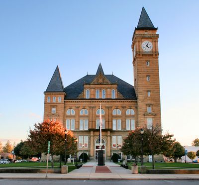
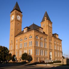
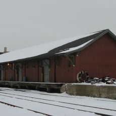
Tipton County, Administrative county in central Indiana, United States.

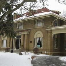
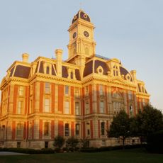
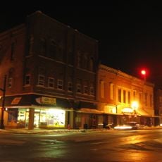
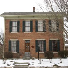
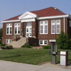
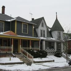
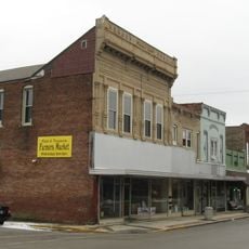
Tipton County is an administrative county in central Indiana encompassing four incorporated towns, with Tipton serving as the county seat. The area is connected through U.S. Route 31 and state highways that link the towns together.

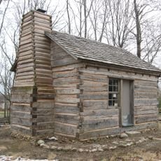
The region was inhabited by Native American tribes until it became an organized county in 1844, one of Indiana's last settled territories. This late establishment shaped how the area developed differently from older parts of the state.

The yearly county fair brings together farmers and residents to celebrate agricultural traditions and community life. These gatherings show how farming remains central to how people here identify and connect with each other.

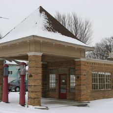
The area is best explored by car, as the highways serve as the main connections between towns throughout the county. Visitors should expect that rural areas are thinly populated, with services spread out differently than in urban regions.

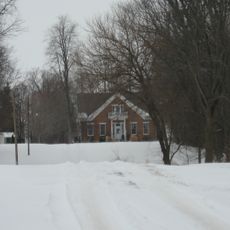
The land was once completely covered by dense forests of oak, beech, maple, walnut, and hickory trees before settlement arrived. Traces of these original woodlands remain visible today in pockets of forest scattered throughout the county.

Location: Indiana

Inception: January 15, 1844

Capital city: Tipton

Shares border with: Howard County, Grant County, Madison County, Hamilton County, Clinton County

Website: https://tiptongov.com

GPS coordinates: 40.31000,-86.05000

Latest update: December 8, 2025 13:42

Photos
Around this place
Nickel Plate Road 587
United States of America

Nickel Plate Road 587

28.1 km
Indiana Transportation Museum
United States of America

Indiana Transportation Museum

28.3 km
Seiberling Mansion
United States of America

Seiberling Mansion

21.3 km
Elwood Haynes Museum
United States of America

Elwood Haynes Museum

18.6 km
Hamilton County Courthouse
United States of America

Hamilton County Courthouse

29.6 km
George Boxley Cabin
United States of America

George Boxley Cabin

23.9 km
Potter's Covered Bridge
United States of America

Potter's Covered Bridge

26.8 km
Tipton County Courthouse
United States of America

Tipton County Courthouse

3.2 km
Kokomo City Building
United States of America

Kokomo City Building

20.9 km
Elwood Downtown Historic District
United States of America

Elwood Downtown Historic District

18.1 km
Dr. Samuel Harrell House
United States of America

Dr. Samuel Harrell House

29.2 km
Lake Erie and Western Depot Historic District
United States of America

Lake Erie and Western Depot Historic District

21.2 km
Hy-Red Gasoline Station
United States of America

Hy-Red Gasoline Station

20 km
Kokomo Courthouse Square Historic District
United States of America

Kokomo Courthouse Square Historic District

20.9 km
William Houston Craig House
United States of America

William Houston Craig House

29.6 km
Conner Street Historic District
United States of America

Conner Street Historic District

29.6 km
Noblesville Commercial Historic District
United States of America

Noblesville Commercial Historic District

29.6 km
Daniel Craycraft House
United States of America

Daniel Craycraft House

29.7 km
Davenport-Bradfield House
United States of America

Davenport-Bradfield House

24.1 km
Cole-Evans House
United States of America

Cole-Evans House

29 km
Robert L. Wilson House
United States of America

Robert L. Wilson House

29.6 km
Kirklin Public Library
United States of America

Kirklin Public Library

29.4 km
Catherine Street Historic District
United States of America

Catherine Street Historic District

29.3 km
Sheridan Downtown Commercial Historic District
United States of America

Sheridan Downtown Commercial Historic District

24.1 km
Henry W. Smith House
United States of America

Henry W. Smith House

24 km
Elwood Haynes Museum
United States of America

Elwood Haynes Museum

18.6 km
Kokomo Country Club
United States of America

Kokomo Country Club

18.8 km
Vermont Covered Bridge
United States of America

Vermont Covered Bridge

19.4 km
Show the full map
Reviews

Visited this place? Tap the stars to rate it and share your experience / photos with the community! Try now! You can cancel it anytime.

Administrative divisions
« Tipton County - Administrative county in central Indiana, United States » is provided by Around Us (aroundus.com). Images and texts are derived from Wikimedia project under a Creative Commons license. You are allowed to copy, distribute, and modify copies of this page, under the conditions set by the license, as long as this note is clearly visible.

Discover hidden gems everywhere you go!

From secret cafés to breathtaking viewpoints, skip the crowded tourist spots and find places that match your style. Our app makes it easy with voice search, smart filtering, route optimization, and insider tips from travelers worldwide. Download now for the complete mobile experience.

Around Us App Screenshot

A unique approach to discovering new places

Le Figaro

All the places worth exploring

France Info

A tailor-made excursion in just a few clicks

20 Minutes