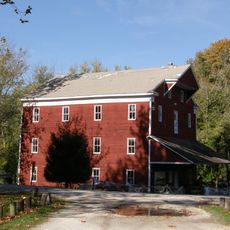
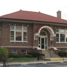
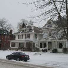
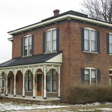
Clinton County, County administrative division in Indiana, US
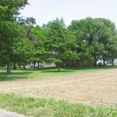
Clinton County is an administrative division in central Indiana that encompasses small towns and rural areas. The region is crossed by major roads and highways that link communities within the county and connect to larger neighboring cities.
The county was established in 1830 and named after DeWitt Clinton, a prominent New York political figure. Its creation reflected the expansion of settlement across Indiana during that period.
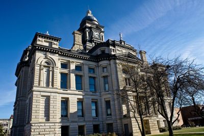
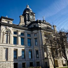
The county courthouse, built in 1892, stands prominently and shows how local institutions were designed during that era. The building remains a focal point that reflects the community's heritage and traditional values.
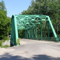
The area is easily reached via Interstate 65 and US Route 52, which help visitors navigate the region. These major routes connect local communities and provide access to neighboring areas.
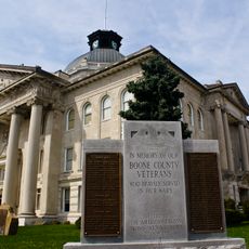
A notable figure from this area was Lieutenant General James F. Record, who displayed exceptional courage during his military career. His military honors are among the highest decorations awarded to soldiers.
Location: Indiana
Inception: January 29, 1830
Capital city: Frankfort
Shares border with: Carroll County, Howard County, Tipton County, Hamilton County, Boone County, Montgomery County, Tippecanoe County
Website: http://clintonco.com
GPS coordinates: 40.30000,-86.48000
Latest update: December 7, 2025 20:26
Elwood Haynes Museum
34.3 km
Adams Mill Covered Bridge
20.6 km
Boone County Courthouse
28.1 km
Clinton County Courthouse
3.4 km
George Boxley Cabin
28.4 km
Scotland Bridge
14.3 km
Strange Nathanial Cragun House
28.1 km
Adams Mill
20.2 km
Hershey House
29.2 km
Thorntown Public Library
21.7 km
Christian Ridge Historic District
3.2 km
Davenport-Bradfield House
28.6 km
Frankfort Commercial Historic District
3.4 km
Ulen Historic District
26.4 km
Dayton Historic District
25.8 km
Kirklin Public Library
15.6 km
Charles H. and Emma Condon House
3.7 km
Andrew B. VanHuys Round Barn
31 km
South Frankfort Historic District
3.7 km
Sheridan Downtown Commercial Historic District
28.5 km
Colfax Carnegie Library
19.8 km
Henry W. Smith House
29.1 km
John Young House
14.2 km
William Fisher Polygonal Barn
27.5 km
Lancaster Covered Bridge
22 km
Kokomo Country Club
33.9 km
Vermont Covered Bridge
34.3 km
Wildcat Creek Bridge
21.3 kmVisited this place? Tap the stars to rate it and share your experience / photos with the community! Try now! You can cancel it anytime.
Discover hidden gems everywhere you go!
From secret cafés to breathtaking viewpoints, skip the crowded tourist spots and find places that match your style. Our app makes it easy with voice search, smart filtering, route optimization, and insider tips from travelers worldwide. Download now for the complete mobile experience.
A unique approach to discovering new places❞
— Le Figaro
All the places worth exploring❞
— France Info
A tailor-made excursion in just a few clicks❞
— 20 Minutes