Frankfort, county seat in Clinton County, Indiana, United States
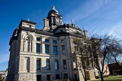
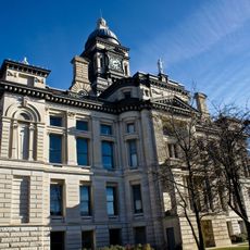
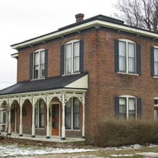
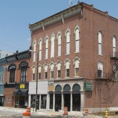
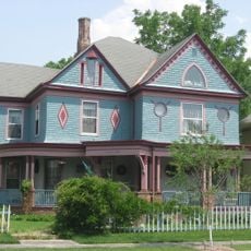
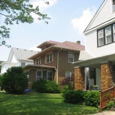
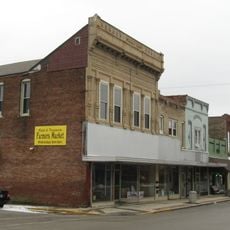
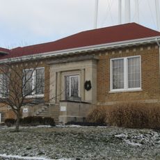
Frankfort is a small city in Clinton County, Indiana, with around 16,600 residents. Its downtown features restored historic buildings including the Clinton County Courthouse built in the 1880s, alongside a busy main square filled with shops, cafes, and parks.
Frankfort was founded in the early 1800s by brothers who named it after their ancestral home in Germany. The city gained official status in 1875 and became known as the 'Gem City' in the early 1900s because of its bright electric lights visible across the prairie.
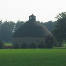
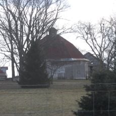
The city's name reflects its founders' German heritage. Frankfort celebrates this connection through agricultural markets and farms where visitors can pick their own fruits and berries, staying connected to local farming traditions.
A car is the best way to explore the sights, as many parks and attractions are spread across the area. Staying near downtown provides easy access to shops, restaurants, and affordable lodging options that suit families and all types of travelers.
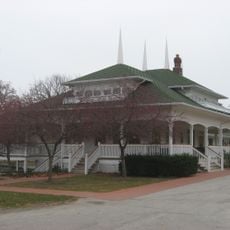
The city calls itself the 'Hot Dog Capital of the World' and celebrates this with an annual festival. Prairie Creek Park is a newly developed attraction featuring a community event center, performance stage, and splash pad that showcase the city's growth and investment in recreation.
The community of curious travelers
AroundUs brings together thousands of curated places, local tips, and hidden gems, enriched daily by 60,000 contributors worldwide.