Enable Location

We need your location to show you interesting places around you

Discover nearby places

Find interesting locations and hidden gems around you

Precise directions

Get accurate directions and distances to places

Your location is never shared with other users. It's only used when you tap the location button.

Martin County

Log in to your account

Start exploring — it's free

Trusted by 62,119 travelers worldwide

Continue with Google
Continue with Apple
or

We will send you a code to connect

By continuing, you accept our Terms and Conditions and our Privacy Policy

Check your inbox

We've sent a pincode in your inbox. Please enter the code below.

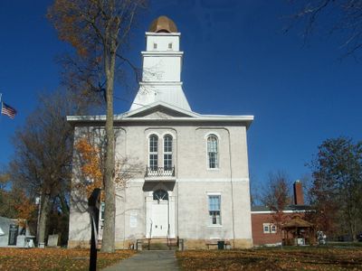
Martin County, County in southern Indiana, United States

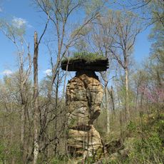
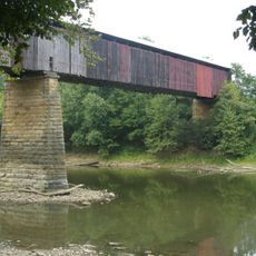
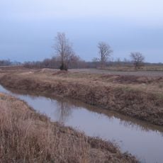
Martin County is an administrative division in southern Indiana covering about 340 square miles with rolling hills, forests, and waterways throughout its territory. The East Fork of White River runs through the landscape and shapes its natural character.

The county was established on January 17, 1820, and named after Major John T. Martin from Newport, Kentucky, who played a role in regional development. This creation reflected Indiana's early expansion as a young state at that time.

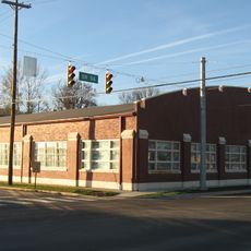
The Naval Surface Warfare Center Crane Division shapes local identity as a major research hub that has been part of the community for generations. This facility influences daily life and employment opportunities for many residents in the area.

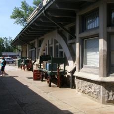
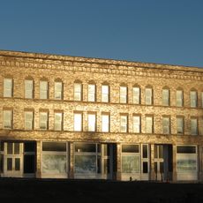
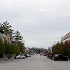
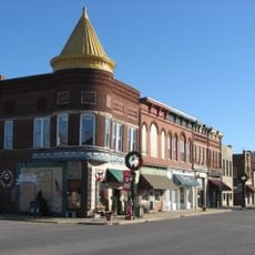
The area has two main centers: Shoals serves as the administrative seat while Loogootee is the largest city on the western border, where most services are located. Visitors should expect a rural setting with limited shopping and dining options compared to larger towns.

Martin State Forest and sections of Hoosier National Forest occupy significant portions of the county and offer extensive areas to explore nature. These forests comprise a substantial part of the landscape yet remain less visited than other recreational areas in the state.

The community of curious travelers

AroundUs brings together thousands of curated places, local tips, and hidden gems, enriched daily by 60,000 contributors worldwide.

Start exploring
Location
Inception
January 17, 1820
Capital city
Shoals
Shares border with
Greene County, Lawrence County, Orange County, Dubois County, Daviess County
GPS coordinates
38.71000,-86.80000
Latest update
December 7, 2025 20:46
Around this place
Patoka Lake
United States of America

Patoka Lake

31.7 km
French Lick Springs Hotel
United States of America

French Lick Springs Hotel

23.3 km
Jug Rock
United States of America

Jug Rock

3 km
Bluespring Caverns
United States of America

Bluespring Caverns

24 km
Indiana Railway Museum
United States of America

Indiana Railway Museum

23.5 km
Williams Bridge
United States of America

Williams Bridge

15.2 km
Homestead Hotel
United States of America

Homestead Hotel

22.7 km
Prairie Creek Site
United States of America

Prairie Creek Site

31.7 km
First Baptist Church
United States of America

First Baptist Church

23 km
Mitchell Opera House
United States of America

Mitchell Opera House

28.4 km
Evangelische Lutherische Emanuels Kirche
United States of America

Evangelische Lutherische Emanuels Kirche

27.2 km
Lemmon Presbyterian Church
United States of America

Lemmon Presbyterian Church

32.2 km
West Baden National Bank
United States of America

West Baden National Bank

22.7 km
Mitchell Downtown Historic District
United States of America

Mitchell Downtown Historic District

28.4 km
Martin County Courthouse
United States of America

Martin County Courthouse

4.5 km
Daviess County Courthouse
United States of America

Daviess County Courthouse

32.9 km
Dixie Garage
United States of America

Dixie Garage

22.9 km
Magnus J. Carnahan House
United States of America

Magnus J. Carnahan House

32.7 km
Thomas Faith House
United States of America

Thomas Faith House

31.9 km
Jenkins Place
United States of America

Jenkins Place

31.2 km
Dr. John A. Scudder House
United States of America

Dr. John A. Scudder House

32.5 km
Orleans Historic District
United States of America

Orleans Historic District

30.6 km
Newberry Friends Meeting House
United States of America

Newberry Friends Meeting House

30.6 km
FLWB Indoor Karting
United States of America

FLWB Indoor Karting

23.3 km
French Lick West Baden Museum
United States of America

French Lick West Baden Museum

23.7 km
Mitchell City Pool
United States of America

Mitchell City Pool

27.3 km
Lindley House
United States of America

Lindley House

32.2 km
Loogootee City Pool
United States of America

Loogootee City Pool

11.4 km
Show the full map
« Martin County - County in southern Indiana, United States » is provided by Around Us (aroundus.com). Images and texts are derived from Wikimedia project under a Creative Commons license. You are allowed to copy, distribute, and modify copies of this page, under the conditions set by the license, as long as this note is clearly visible.

Discover hidden gems everywhere you go!

From secret cafés to breathtaking viewpoints, skip the crowded tourist spots and find places that match your style. Our app makes it easy with voice search, smart filtering, route optimization, and insider tips from travelers worldwide. Download now for the complete mobile experience.

Around Us App Screenshot

A unique approach to discovering new places

Le Figaro

All the places worth exploring

France Info

A tailor-made excursion in just a few clicks

20 Minutes

Around Us
Travel Guide & Maps
Download

Send to your phone

QR Code
1

Open the camera app on your mobile.

2

Point at the QR code with your camera. A notification will appear.

3

Tap the notification to open the link.