Enable Location

We need your location to show you interesting places around you

Discover nearby places

Find interesting locations and hidden gems around you

Precise directions

Get accurate directions and distances to places

Your location is never shared with other users. It's only used when you tap the location button.

Jennings County

Log in to your account

Start exploring — it's free

Trusted by 61,656 travelers worldwide

Continue with Google
Continue with Apple
or

We will send you a code to connect

By continuing, you accept our Terms and Conditions and our Privacy Policy

Check your inbox

We've sent a pincode in your inbox. Please enter the code below.

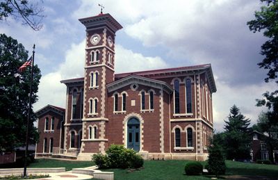
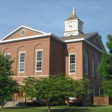
Jennings County, County and administrative division in Indiana, United States.

Description

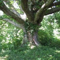
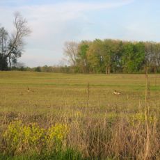
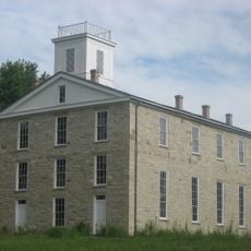
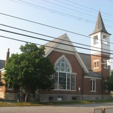
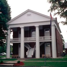
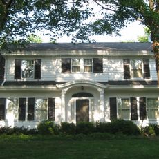
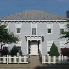
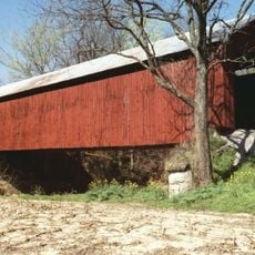
Jennings County is an administrative division in Indiana, encompassing farmland, woodlands, and rural communities across the region. Vernon and North Vernon are the two incorporated towns located within its boundaries.

History

The county was established in 1816 and named after Jonathan Jennings, Indiana's first governor. This naming reflects the state's early leadership and its founding period.

Culture

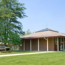
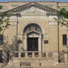
The Jennings County Public Library serves communities through its branches, offering programs and resources that bring residents together. These spaces reflect how people in the area value learning and local connection.

Practical

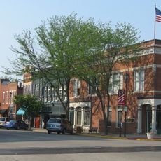
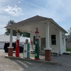
The county is easily reached from three major cities nearby: Indianapolis, Cincinnati, and Louisville. Visitors will find a rural setting with access to local services and public facilities in its main towns.

Did you know?

The county forms the apex of a geographic triangle connecting three major metropolitan areas, making it a distinctive crossroads location. This central positioning between important cities has shaped its character and connections.

Location
Inception
December 27, 1816
Capital city
Vernon
Shares border with
Decatur County, Scott County, Ripley County, Jefferson County, Bartholomew County, Jackson County
GPS coordinates
39.00000,-85.63000
Latest update
December 7, 2025 20:24

AroundUs brings together thousands of curated places, local tips, and hidden gems, enriched daily by 60,000 contributors worldwide. Discover all places nearby (Indiana).

Around this place
Muscatatuck Urban Training Center
United States of America

Muscatatuck Urban Training Center

9.9 km
Freeman Field Mutiny
United States of America

Freeman Field Mutiny

25.5 km
Big Oaks National Wildlife Refuge
United States of America

Big Oaks National Wildlife Refuge

20.7 km
Muscatatuck National Wildlife Refuge
United States of America

Muscatatuck National Wildlife Refuge

17.1 km
Eleutherian College
United States of America

Eleutherian College

21.2 km
Mabel McDowell Adult Education Center
United States of America

Mabel McDowell Adult Education Center

31.9 km
Bell Ford Covered Bridge
United States of America

Bell Ford Covered Bridge

26.1 km
Straber Ford Bridge
United States of America

Straber Ford Bridge

28.4 km
First Presbyterian Church
United States of America

First Presbyterian Church

23.1 km
Collin's Ford Bridge
United States of America

Collin's Ford Bridge

22.5 km
Tyson United Methodist Church
United States of America

Tyson United Methodist Church

33.5 km
Westport Covered Bridge
United States of America

Westport Covered Bridge

19.9 km
Lyman and Asenath Hoyt House
United States of America

Lyman and Asenath Hoyt House

20.9 km
Ripley County Courthouse
United States of America

Ripley County Courthouse

33.7 km
Versailles School and Tyson Auditorium
United States of America

Versailles School and Tyson Auditorium

33.4 km
Annadale
United States of America

Annadale

1.4 km
Bartholomew County Annex building
United States of America

Bartholomew County Annex building

32.1 km
Rising Sun Historic District
United States of America

Rising Sun Historic District

20.1 km
Farmers Club
United States of America

Farmers Club

22.9 km
George H. Vehslage House
United States of America

George H. Vehslage House

23.1 km
Seymour Commercial Historic District
United States of America

Seymour Commercial Historic District

22.9 km
T. Harlan and Helen Montgomery House
United States of America

T. Harlan and Helen Montgomery House

23.2 km
Vernon Historic District
United States of America

Vernon Historic District

2.5 km
Fernando G. Taylor House
United States of America

Fernando G. Taylor House

33.7 km
Hayden Historical Museum
United States of America

Hayden Historical Museum

9.3 km
James Covered Bridge
United States of America

James Covered Bridge

12 km
Clifty Creek Bridge
United States of America

Clifty Creek Bridge

29.3 km
Shepard Bridge
United States of America

Shepard Bridge

24.2 km
Show the full map
Administrative divisions
« Jennings County - County and administrative division in Indiana, United States » is provided by Around Us (aroundus.com). Images and texts are derived from Wikimedia project under a Creative Commons license. You are allowed to copy, distribute, and modify copies of this page, under the conditions set by the license, as long as this note is clearly visible.

Discover hidden gems everywhere you go!

From secret cafés to breathtaking viewpoints, skip the crowded tourist spots and find places that match your style. Our app makes it easy with voice search, smart filtering, route optimization, and insider tips from travelers worldwide. Download now for the complete mobile experience.

Around Us App Screenshot

A unique approach to discovering new places

Le Figaro

All the places worth exploring

France Info

A tailor-made excursion in just a few clicks

20 Minutes

Around Us
Travel Guide & Maps
Download

Send to your phone

QR Code
1

Open the camera app on your mobile.

2

Point at the QR code with your camera. A notification will appear.

3

Tap the notification to open the link.