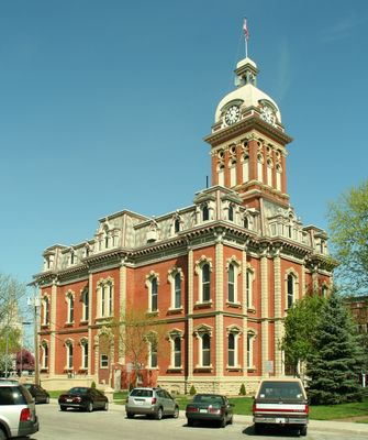
Adams County, Administrative division in Indiana, United States
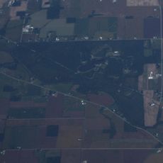
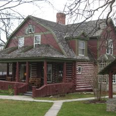
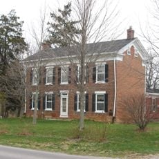
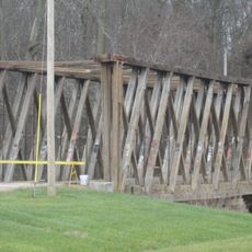
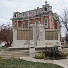
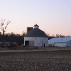
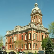
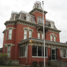
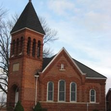
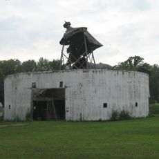
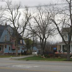
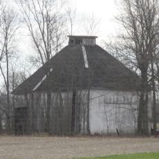
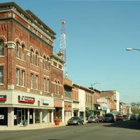
Adams County is an administrative division in northeast Indiana that includes residential communities, farming areas, and public buildings spread across its territory. The county features a mix of small towns and open rural landscape typical of the Midwest.
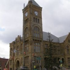
Local governance for the area was formally established in 1883, creating the framework for county administration. This structure allowed for the development of public services as the region grew and communities expanded.
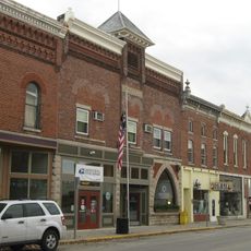
The County Clerk's Office maintains records of marriages, property transactions, and official documents that reflect how the community has grown and changed over time. Walking through local towns, you can see where families have built their lives and businesses across generations.
Residents can handle important administrative tasks online through the county website, including property tax payments, marriage license applications, and service requests. This online access means you don't always need to visit county offices in person for routine matters.
The county operates an alert notification system that sends immediate messages to residents about road closures, water advisories, and emergencies through text or email. This system helps people stay informed and make quick decisions when issues arise in their area.
Location: Indiana
Inception: March 1, 1836
Capital city: Decatur
Shares border with: Allen County, Van Wert County, Mercer County, Jay County, Wells County
Website: http://co.adams.in.us
GPS coordinates: 40.75000,-84.94000
Latest update: December 7, 2025 10:04
Ouabache State Park
14.7 km
Gene Stratton Porter Cabin
18.2 km
Fort Wayne Moraine
28.3 km
Brumback Library
32.8 km
Marsh Foundation School
34.4 km
Van Wert County Courthouse
33 km
Lenhart Farmhouse
10.9 km
Holy Trinity Catholic Church
24.7 km
St. Louis, Besancon, Historic District
33.5 km
Ceylon Covered Bridge
15.1 km
Peace Monument
8.9 km
Van Wert Bandstand
33.2 km
Rebecca Rankin Round Barn
26.1 km
Adams County Courthouse
9 km
Jay County Courthouse
35.4 km
Stewart-Studebaker House
19.9 km
Charles Dugan House
9.1 km
Wells County Courthouse
19.6 km
Portland Commercial Historic District
35.4 km
Bethel Methodist Episcopal Church
17.5 km
Geneva Downtown Commercial Historic District
17.6 km
Villa North Historic District
19.3 km
Round Barn
18.7 km
Ben Colter Polygonal Barn
9.9 km
Floral Hall
34.4 km
John S. Bowers House
9.5 km
Star Theatre
17.6 km
Meridian Street Bridge
35.7 kmVisited this place? Tap the stars to rate it and share your experience / photos with the community! Try now! You can cancel it anytime.
Discover hidden gems everywhere you go!
From secret cafés to breathtaking viewpoints, skip the crowded tourist spots and find places that match your style. Our app makes it easy with voice search, smart filtering, route optimization, and insider tips from travelers worldwide. Download now for the complete mobile experience.
A unique approach to discovering new places❞
— Le Figaro
All the places worth exploring❞
— France Info
A tailor-made excursion in just a few clicks❞
— 20 Minutes