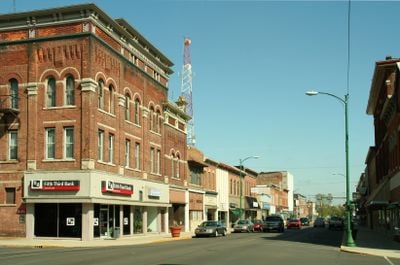
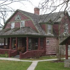
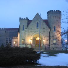
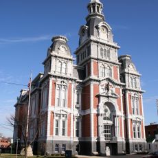
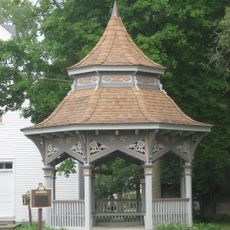
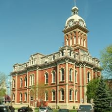
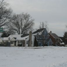
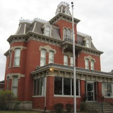
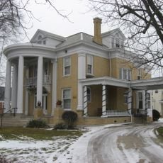
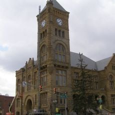
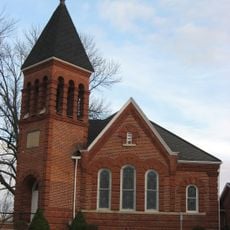
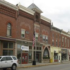
Decatur, city in Indiana, United States
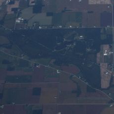
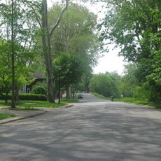
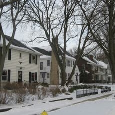
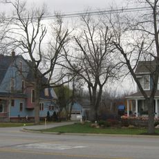
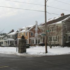
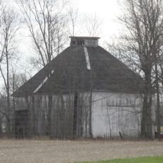
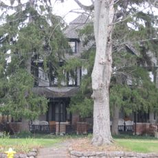
Decatur is a city located in Adams County in northeastern Indiana. It sits within a flat, agricultural landscape and functions as the local administrative and commercial hub for surrounding rural communities.
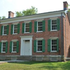
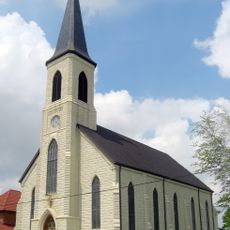
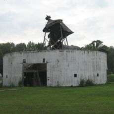
The city was founded in the early 19th century and grew as a trading and administrative center for the rural region. It has established itself over the decades as a hub for agricultural activity and local services.
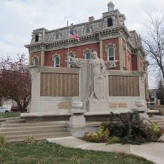
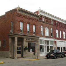
The city is easily accessible via roads from all directions and has a typical network of shops, services, and public facilities mainly concentrated in the downtown area. Visitors will find the usual conveniences of a small town with a manageable size.
The community of curious travelers
AroundUs brings together thousands of curated places, local tips, and hidden gems, enriched daily by 60,000 contributors worldwide.