Enable Location

We need your location to show you interesting places around you

Discover nearby places

Find interesting locations and hidden gems around you

Precise directions

Get accurate directions and distances to places

Your location is never shared with other users. It's only used when you tap the location button.

Johnson County

Log in to your account

Start exploring — it's free

Trusted by 63,018 travelers worldwide

Continue with Google
Continue with Apple
or

We will send you a code to connect

By continuing, you accept our Terms and Conditions and our Privacy Policy

Check your inbox

We've sent a pincode in your inbox. Please enter the code below.

Discussion Reviews 1 Photos
22.3k Popularity

Johnson County, Administrative division in central Indiana, United States.

Johnson County is an administrative division in central Indiana with Franklin as its administrative center, covering both rural and urban areas. The territory borders Marion County to the north and Brown County to the southwest.

The county was established in 1823, creating an important administrative structure for the region. This founding provided the foundation for developing local institutions and organizing the community.

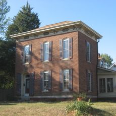
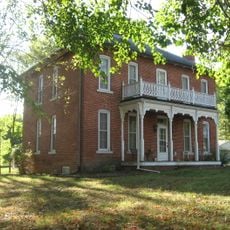
The Johnson County Museum in Franklin displays the region's past through photographs, documents, and objects from different periods. Visitors can see how the area developed and changed over time.

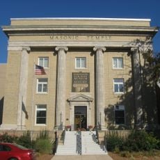
Franklin is the administrative center where key offices and services for residents are located. Visitors can find information about local services there and explore public buildings and the museum.

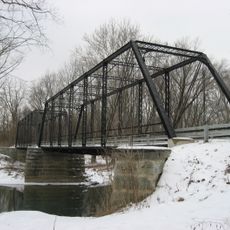
The area features a mix of rural landscapes and growing urban zones, reflecting the transition between farmland and the Indianapolis metropolitan area. This location makes it an interesting place to observe changes in regional development.

The community of curious travelers

AroundUs brings together thousands of curated places, local tips, and hidden gems, enriched daily by 60,000 contributors worldwide.

Start exploring
Location
Inception
1823
Capital city
Franklin
Shares border with
Marion County, Brown County, Shelby County, Bartholomew County, Morgan County
GPS coordinates
39.49000,-86.10000
Latest update
December 22, 2025 10:50
Around this place
United States of America

Lamb Lake

16.2 km
Johnson County Museum of History
United States of America

Johnson County Museum of History

4 km
Johnson County Courthouse Square
United States of America

Johnson County Courthouse Square

4 km
Franklin Senior High School
United States of America

Franklin Senior High School

4.5 km
Old Main
United States of America

Old Main

4.7 km
Franklin Commercial Historic District
United States of America

Franklin Commercial Historic District

4 km
Franklin College Library
United States of America

Franklin College Library

4.7 km
Greenwood Commercial Historic District
United States of America

Greenwood Commercial Historic District

13.8 km
August Zeppenfeld House
United States of America

August Zeppenfeld House

3.7 km
South Walnut Street Historic District
United States of America

South Walnut Street Historic District

19.2 km
Furnas Mill Bridge
United States of America

Furnas Mill Bridge

14.9 km
Toner Historic District
United States of America

Toner Historic District

19.3 km
Herriott House
United States of America

Herriott House

3.7 km
Van Nuys Farm
United States of America

Van Nuys Farm

2 km
Martin Place Historic District
United States of America

Martin Place Historic District

3.9 km
United States of America

Tot Park

8.9 km
United States of America

Pixy Theatre

19.1 km
United States of America

The Bluffs

15.9 km
United States of America

Pisgah Lake

13.4 km
United States of America

Southern Dunes Golf Course

19 km
United States of America

Otte Golf & Family Fun Center

13.1 km
United States of America

Hillview Country Club

6.6 km
United States of America

Bluff Creek Golf Course

15.9 km
United States of America

Southern Dunes Golf Course

19.3 km
United States of America

Cypress Run Golf Course

11.9 km
United States of America

Tameka Woods Golf Course

11.9 km
United States of America

Dye's Walk Country Club

12.1 km
United States of America

Valle Vista Golf Course

13.3 km
Show the full map
Reviews
Share your experience

No review yet

Discussions
Start a discussion...

No discussion yet

Administrative divisions
« Johnson County - Administrative division in central Indiana, United States » is provided by Around Us (aroundus.com). Images and texts are derived from Wikimedia project under a Creative Commons license. You are allowed to copy, distribute, and modify copies of this page, under the conditions set by the license, as long as this note is clearly visible.

Discover hidden gems everywhere you go!

From secret cafés to breathtaking viewpoints, skip the crowded tourist spots and find places that match your style. Our app makes it easy with voice search, smart filtering, route optimization, and insider tips from travelers worldwide. Download now for the complete mobile experience.

Around Us App Screenshot

A unique approach to discovering new places

Le Figaro

All the places worth exploring

France Info

A tailor-made excursion in just a few clicks

20 Minutes

Around Us
Travel Guide & Maps
Download

Send to your phone

QR Code
1

Open the camera app on your mobile.

2

Point at the QR code with your camera. A notification will appear.

3

Tap the notification to open the link.