Fountain County, Administrative county in western Indiana, US
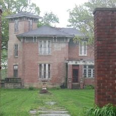
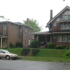
Fountain County is an agricultural county in western Indiana with two main towns, Attica and Covington, plus six smaller incorporated communities. The region combines farmland with small urban centers.
The county was established in December 1825 and named after Major James Fontaine, who died in the Northwest Indian War in 1790. It formed during the early settlement period of this frontier region.
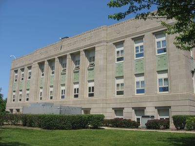
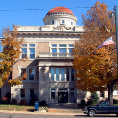
The courthouse in Covington displays large murals by Eugene Francis Savage depicting the settlement of western Indiana through detailed artwork that tells the region's story.
Interstate 74 runs through the area, connecting it to larger cities to the east and west. A Norfolk Southern Railway line also serves freight transportation across the region.
The Wabash and Erie Canal reached Covington in 1846 and served as a major trade route until railroads later replaced it. This waterway shaped the region's economy for several decades.
Location: Indiana
Inception: December 20, 1825
Capital city: Covington
Shares border with: Tippecanoe County, Montgomery County, Parke County, Warren County, Vermillion County
Website: https://fountaincounty.net
GPS coordinates: 40.12000,-87.24000
Latest update: December 7, 2025 20:42
Williamsport Falls
19 km
Portland Arch Nature Preserve
13.7 km
Danville National Cemetery
29 km
Fountain County Courthouse
13.5 km
Carnegie Library of Covington
13.3 km
Lancelot C. Ewbank House
22 km
Bowsher Ford Covered Bridge
23.2 km
Williamsport-Washington Township Public Library
19.3 km
Attica Downtown Historic District
19.4 km
Warren County Courthouse
19.3 km
Attica Main Street Historic District
19.2 km
W. H. York Round Barn
23.6 km
Williams Chapel
24.2 km
Marshall M. Milford House
19.2 km
Fountain County Clerk's Building
13.5 km
Brady Street Historic District
19 km
West Lebanon-Pike Township Public Library
21.1 km
Covington Courthouse Square Historic District
13.5 km
Van Reed Farmstead
32 km
Covington Residential Historic District
13.4 km
William C.B. Sewell House
13.3 km
Kent and Hitchens Houses
18.5 km
Andrew Brier House
28.1 km
Old East Historic District
19 km
Rob Roy Covered Bridge
13.8 km
Cades Mill Bridge
8.8 km
Wallace Covered Bridge
17.1 km
Black Rock Barrens Nature Preserve
29.9 kmVisited this place? Tap the stars to rate it and share your experience / photos with the community! Try now! You can cancel it anytime.
Discover hidden gems everywhere you go!
From secret cafés to breathtaking viewpoints, skip the crowded tourist spots and find places that match your style. Our app makes it easy with voice search, smart filtering, route optimization, and insider tips from travelers worldwide. Download now for the complete mobile experience.
A unique approach to discovering new places❞
— Le Figaro
All the places worth exploring❞
— France Info
A tailor-made excursion in just a few clicks❞
— 20 Minutes