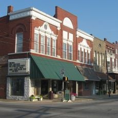
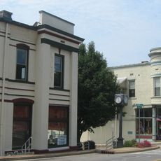
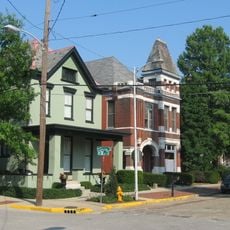
Warrick County, Administrative county in southern Indiana, United States
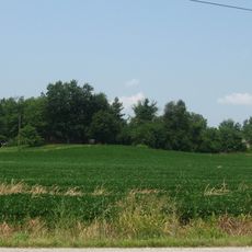
Warrick County is an administrative county in southern Indiana covering approximately 391 square miles between the White River and Ohio River. The landscape includes agricultural land and areas where coal mining was once a major activity.
The county was established in March 1813 and named after Captain Jacob Warrick, who died during the Battle of Tippecanoe in 1811. Its creation marked an important moment when the region began to take formal shape as American settlement expanded.
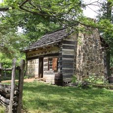
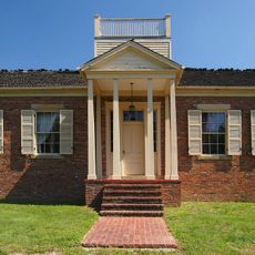
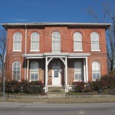
The Warrick County Museum has occupied a former schoolhouse since 1977 and displays objects documenting how local communities developed over time. Visitors can see everyday items and artifacts that reflect the region's past through the eyes of those who lived here.
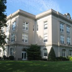
The county is served by the Warrick County School Corporation operating sixteen educational institutions ranging from elementary to high school level. Visitors can explore several museums and historical sites throughout the area to learn about the region's past.
The Coal Museum in Lynnville displays mining equipment and tools that tell the story of the region's coal extraction industry. This collection reveals a less obvious side of the county's economy that shaped both the landscape and the lives of residents for generations.
Location: Indiana
Inception: March 9, 1813
Capital city: Boonville
Shares border with: Pike County, Gibson County, Henderson County, Dubois County, Spencer County, Daviess County, Vanderburgh County
Website: http://warrickcounty.gov
GPS coordinates: 38.10000,-87.27000
Latest update: December 7, 2025 19:27
University of Evansville
27 km
Lincoln Boyhood National Memorial
24 km
Angel Mounds
24 km
Lincoln State Park
24 km
William H. Natcher Bridge
30.3 km
Wesselman Woods Nature Preserve
24.4 km
St. Benedict Cathedral
27.8 km
Newburgh Lock and Dam
21 km
Yankeetown Site
22.5 km
Col. William Jones House
19.9 km
Oak Hill Cemetery
26.5 km
Bernardin-Johnson House
26.6 km
Ellerbusch Site
21.4 km
Old Newburgh Presbyterian Church
20.9 km
Mathias Sharp House
31.5 km
Edgar A. Igleheart House
23.7 km
Boonville Public Square Historic District
5.7 km
AMF Arc Lanes
25 km
Spencer County Courthouse
31.2 km
Old Warrick County Jail
5.5 km
Charles Sweeton House
26 km
John W. Boehne House
28.1 km
Roberts-Morton House
20.6 km
Original Newburgh Historic District
21 km
Hooker-Ensle-Pierce House
22.1 km
McJohnston Chapel and Cemetery
22.5 km
Diamond Lanes
26.1 km
Riverside Historic District
27.8 kmVisited this place? Tap the stars to rate it and share your experience / photos with the community! Try now! You can cancel it anytime.
Discover hidden gems everywhere you go!
From secret cafés to breathtaking viewpoints, skip the crowded tourist spots and find places that match your style. Our app makes it easy with voice search, smart filtering, route optimization, and insider tips from travelers worldwide. Download now for the complete mobile experience.
A unique approach to discovering new places❞
— Le Figaro
All the places worth exploring❞
— France Info
A tailor-made excursion in just a few clicks❞
— 20 Minutes