·

Enable Location

We need your location to show you interesting places around you

Discover nearby places

Find interesting locations and hidden gems around you

Precise directions

Get accurate directions and distances to places

Your location is never shared with other users. It's only used when you tap the location button.

Jay County

Log in to your account

Start exploring — it's free

Trusted by 62,690 travelers worldwide

Continue with Google
Continue with Apple
or

We will send you a code to connect

By continuing, you accept our Terms and Conditions and our Privacy Policy

Check your inbox

We've sent a pincode in your inbox. Please enter the code below.

Jay County, Administrative county in eastern Indiana, United States

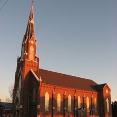
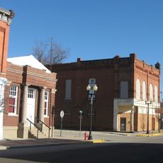
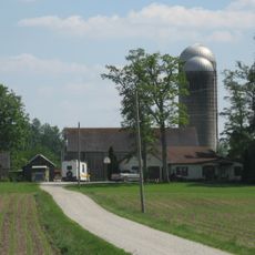
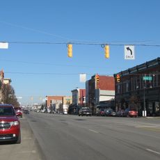
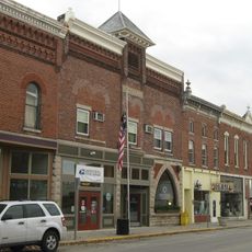
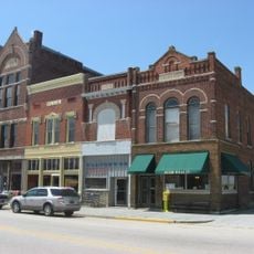
Jay County is an administrative division in eastern Indiana covering agricultural land where the Salamonie River winds through several townships and settlements. The county comprises multiple communities and includes the city of Portland, which serves as its main administrative hub.

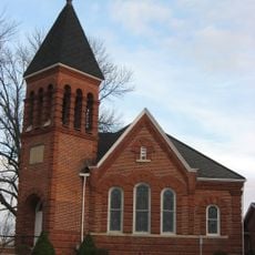
The Indiana State Legislature established the county in 1835, naming it after John Jay, who served as the first Chief Justice of the United States. The area subsequently developed as an agricultural center and attracted many settlers of German descent.

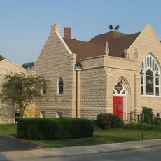
German heritage runs deep through family traditions and community celebrations that remain visible in how residents gather and mark important occasions together.

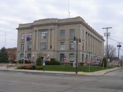
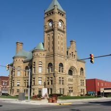
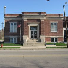
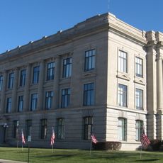
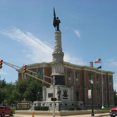
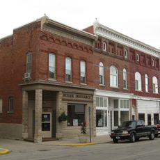
The county courthouse in Portland serves as the administrative center where visitors can find information and services. A car is helpful for traveling between communities, as the area is spread across multiple townships.

A direct communication system was activated in 2023 to help residents quickly find support during emergencies and after severe storms. This connection between local emergency officials and residents has improved how information reaches people who need assistance.

The community of curious travelers

AroundUs brings together thousands of curated places, local tips, and hidden gems, enriched daily by 60,000 contributors worldwide.

Start exploring
Location
Inception
1836
Capital city
Portland
Shares border with
Adams County, Mercer County, Darke County, Randolph County, Wells County, Delaware County, Blackford County
GPS coordinates
40.43000,-85.01000
Latest update
December 7, 2025 20:42
Around this place
Fort Recovery
United States of America

Fort Recovery

19.5 km
Winchester Speedway
United States of America

Winchester Speedway

28.4 km
Gene Stratton Porter Cabin
United States of America

Gene Stratton Porter Cabin

18 km
Gene Stratton-Porter Cabin
United States of America

Gene Stratton-Porter Cabin

29.2 km
Blackford County Courthouse
United States of America

Blackford County Courthouse

30.4 km
First Presbyterian Church
United States of America

First Presbyterian Church

30.5 km
Hartford City Courthouse Square Historic District
United States of America

Hartford City Courthouse Square Historic District

30.4 km
Gen. Asahel Stone Mansion
United States of America

Gen. Asahel Stone Mansion

29.5 km
Holy Trinity Catholic Church
United States of America

Holy Trinity Catholic Church

18.9 km
Ceylon Covered Bridge
United States of America

Ceylon Covered Bridge

21.3 km
Miami Indian
United States of America

Miami Indian

26.6 km
Rebecca Rankin Round Barn
United States of America

Rebecca Rankin Round Barn

16.3 km
Montpelier Carnegie Library
United States of America

Montpelier Carnegie Library

26.5 km
Redkey Historic District
United States of America

Redkey Historic District

15 km
Jay County Courthouse
United States of America

Jay County Courthouse

2.7 km
Jonas Votaw House
United States of America

Jonas Votaw House

3.4 km
Winchester Courthouse Square Historic District
United States of America

Winchester Courthouse Square Historic District

28.7 km
Wallischeck Homestead
United States of America

Wallischeck Homestead

17.7 km
Felt's Farm
United States of America

Felt's Farm

30.5 km
Winchester Residential Historic District
United States of America

Winchester Residential Historic District

28.8 km
Portland Commercial Historic District
United States of America

Portland Commercial Historic District

2.5 km
Bethel Methodist Episcopal Church
United States of America

Bethel Methodist Episcopal Church

31.8 km
Geneva Downtown Commercial Historic District
United States of America

Geneva Downtown Commercial Historic District

18.6 km
Farmland Downtown Historic District
United States of America

Farmland Downtown Historic District

28.5 km
Floral Hall
United States of America

Floral Hall

3.8 km
Portland Waterpark
United States of America

Portland Waterpark

3.3 km
Star Theatre
United States of America

Star Theatre

18.6 km
Meridian Street Bridge
United States of America

Meridian Street Bridge

2.7 km
Show the full map
« Jay County - Administrative county in eastern Indiana, United States » is provided by Around Us (aroundus.com). Images and texts are derived from Wikimedia project under a Creative Commons license. You are allowed to copy, distribute, and modify copies of this page, under the conditions set by the license, as long as this note is clearly visible.

Discover hidden gems everywhere you go!

From secret cafés to breathtaking viewpoints, skip the crowded tourist spots and find places that match your style. Our app makes it easy with voice search, smart filtering, route optimization, and insider tips from travelers worldwide. Download now for the complete mobile experience.

Around Us App Screenshot

A unique approach to discovering new places

Le Figaro

All the places worth exploring

France Info

A tailor-made excursion in just a few clicks

20 Minutes

Around Us
Travel Guide & Maps
Download

Send to your phone

QR Code
1

Open the camera app on your mobile.

2

Point at the QR code with your camera. A notification will appear.

3

Tap the notification to open the link.