Jackson County

Log in to your account

AroundUs is a community-driven map of interesting places, built by curious explorers like you. It grows with every review, story, and photo you share.
Connect to save your favorite spots, contribute locations, and create personalized routes.
By continuing, you accept our Terms and Conditions and our Privacy Policy
Add to collection
Map
Suggest a change
Share

Jackson County, Administrative county in Indiana, US
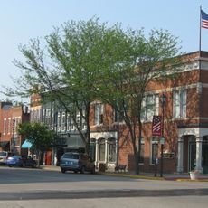
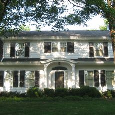
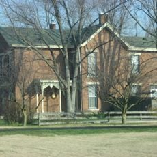
Jackson County spans across south central Indiana with varied landscapes including agricultural fields, residential areas, and industrial zones near Interstate 65.

Established in 1816 during Indiana's early statehood period, Jackson County received its name from General Andrew Jackson of the War of 1812.

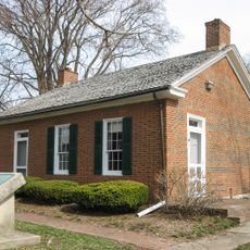
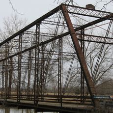
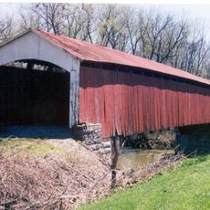
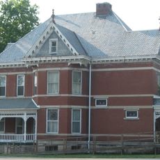
The Jackson County Historical Society maintains records and artifacts that document the development of local communities from the 19th century to present day.
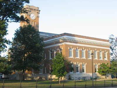
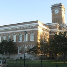
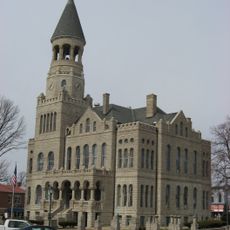
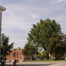
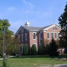
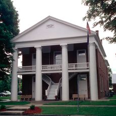
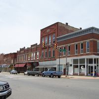
The county seat of Brownstown centralizes government services while Seymour, the largest city, offers commercial and medical facilities through Schneck Medical Center.

Jackson County's strategic position between Indianapolis, Louisville, and Cincinnati provides residents access to three major metropolitan areas within driving distance.

Location: Indiana

Inception: 1816

Capital city: Brownstown

Shares border with: Brown County, Washington County, Lawrence County, Bartholomew County, Jennings County, Scott County, Monroe County

Website: http://jacksoncounty.in.gov

GPS coordinates: 38.91000,-86.04000

Latest update: March 5, 2025 06:32

Around this place
Show the full map
Brown County State Park
United States of America

Brown County State Park

29.9 km
Freeman Field Mutiny
United States of America

Freeman Field Mutiny

11.5 km
Muscatatuck National Wildlife Refuge
United States of America

Muscatatuck National Wildlife Refuge

20.2 km
Medora Covered Bridge
United States of America

Medora Covered Bridge

13.8 km
Hickory Ridge Fire Tower
United States of America

Hickory Ridge Fire Tower

28 km
Weed Patch Hill
United States of America

Weed Patch Hill

32.5 km
Bell Ford Covered Bridge
United States of America

Bell Ford Covered Bridge

11.9 km
John Hay Center
United States of America

John Hay Center

34.3 km
Jackson County Courthouse
United States of America

Jackson County Courthouse

3.5 km
First Presbyterian Church
United States of America

First Presbyterian Church

13.9 km
Washington County Courthouse
United States of America

Washington County Courthouse

34.3 km
Grandview Apostolic Church
United States of America

Grandview Apostolic Church

24.2 km
First Baptist Church
United States of America

First Baptist Church

34.1 km
Cavanaugh Bridge
United States of America

Cavanaugh Bridge

18.4 km
Shields' Mill Covered Bridge
United States of America

Shields' Mill Covered Bridge

3.3 km
Salem Downtown Historic District
United States of America

Salem Downtown Historic District

34.3 km
Scottsburg Courthouse Square Historic District
United States of America

Scottsburg Courthouse Square Historic District

34.3 km
Rising Sun Historic District
United States of America

Rising Sun Historic District

16.8 km
Carr High School
United States of America

Carr High School

17.8 km
Farmers Club
United States of America

Farmers Club

14.1 km
George H. Vehslage House
United States of America

George H. Vehslage House

14.1 km
Thomas A. Hendricks House
United States of America

Thomas A. Hendricks House

26.5 km
Seymour Commercial Historic District
United States of America

Seymour Commercial Historic District

14.1 km
T. Harlan and Helen Montgomery House
United States of America

T. Harlan and Helen Montgomery House

14 km
David Aikens House
United States of America

David Aikens House

30.9 km
Tiemeyer's Farm Market Petting Zoo
United States of America

Tiemeyer's Farm Market Petting Zoo

9.8 km
Kappa V Archaeological Site
United States of America

Kappa V Archaeological Site

34.5 km
Hayden Historical Museum
United States of America

Hayden Historical Museum

27.6 km
Show the full map

Reviews

Visited this place? Tap the stars to rate it and share your experience / photos with the community! Try now! You can cancel it anytime.

Administrative divisions
« Jackson County - Administrative county in Indiana, US » is provided by Around Us (aroundus.com). Images and texts are derived from Wikimedia project under a Creative Commons license. You are allowed to copy, distribute, and modify copies of this page, under the conditions set by the license, as long as this note is clearly visible.

Discover hidden gems everywhere you go!

From secret cafés to breathtaking viewpoints, skip the crowded tourist spots and find places that match your style. Our app makes it easy with voice search, smart filtering, route optimization, and insider tips from travelers worldwide. Download now for the complete mobile experience.

Around Us App Screenshot

A unique approach to discovering new places

Le Figaro

All the places worth exploring

France Info

A tailor-made excursion in just a few clicks

20 Minutes