Putnam County

Log in to your account

AroundUs is a community-driven map of interesting places, built by curious explorers like you. It grows with every review, story, and photo you share.
Connect to save your favorite spots, contribute locations, and create personalized routes.
By continuing, you accept our Terms and Conditions and our Privacy Policy
Add to collection
Map
Suggest a change
Share

Putnam County, County with rural charm in Indiana, United States.

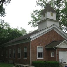
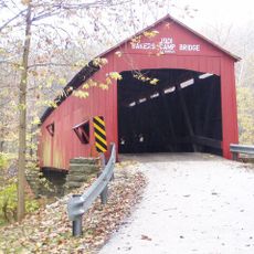
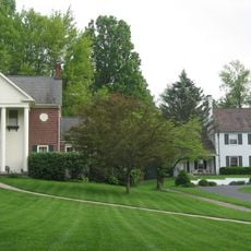
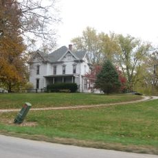
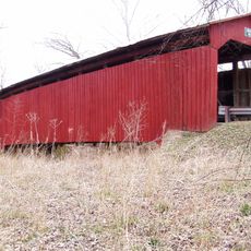
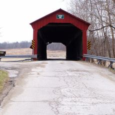
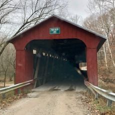
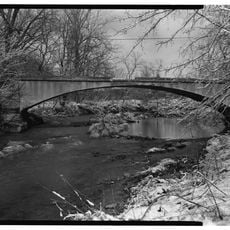
Putnam County is an administrative division in Indiana featuring rolling hills and farmland, with small communities clustered around Greencastle. The landscape consists of agricultural areas, quiet towns, and recreation spaces that serve residents and visitors.

Established in 1822, the county transformed from frontier territory into an important agricultural and educational hub in central Indiana. This shift from settlement to established center shaped the region's identity and development.

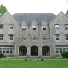
DePauw University shapes local culture through performances, lectures, and community events that bring together students, faculty, and residents. This connection between the academic world and everyday life influences how the county feels and functions today.

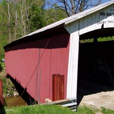
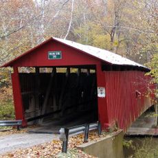
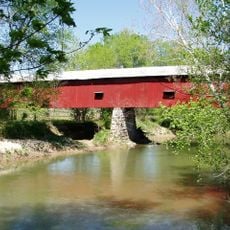
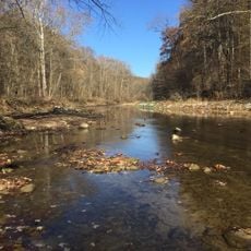
The county has several parks and recreation facilities with sports grounds and community spaces for visitors to enjoy. The infrastructure supports various outdoor activities and leisure options across its smaller communities.

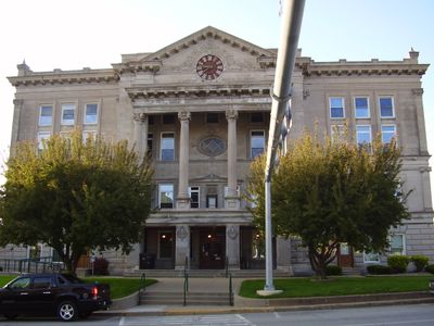
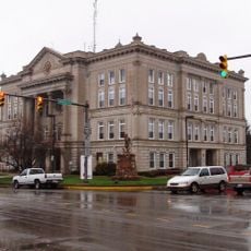
The Central National Bank building in Greencastle is linked to a 1933 bank robbery by John Dillinger, a notorious criminal from the Prohibition era. This historical incident remains part of local memory and catches the attention of visitors exploring the town.

Location: Indiana

Inception: December 31, 1822

Capital city: Greencastle

Shares border with: Montgomery County, Hendricks County, Morgan County, Owen County, Clay County, Parke County

Website: http://co.putnam.in.us

GPS coordinates: 39.67000,-86.84000

Latest update: December 7, 2025 20:22

Photos
Around this place
Show the full map
Delta Kappa Epsilon Fraternity House
United States of America

Delta Kappa Epsilon Fraternity House

3.5 km
McKim Observatory
United States of America

McKim Observatory

2.9 km
Big Rocky Fork Covered Bridge
United States of America

Big Rocky Fork Covered Bridge

20.6 km
Putnamville Presbyterian Church
United States of America

Putnamville Presbyterian Church

10.9 km
Courthouse Square Historic District
United States of America

Courthouse Square Historic District

3.6 km
Baker's Camp Covered Bridge
United States of America

Baker's Camp Covered Bridge

10.4 km
Eastern Enlargement Historic District
United States of America

Eastern Enlargement Historic District

3.4 km
Northwood Historic District
United States of America

Northwood Historic District

3 km
Old Greencastle Historic District
United States of America

Old Greencastle Historic District

3.6 km
Rolling Stone Covered Bridge
United States of America

Rolling Stone Covered Bridge

12.6 km
Heck-Hasler House
United States of America

Heck-Hasler House

17.1 km
F.P. Nelson House
United States of America

F.P. Nelson House

3.6 km
James Edington Montgomery O'Hair House
United States of America

James Edington Montgomery O'Hair House

6.7 km
Richard M. Hazelett House
United States of America

Richard M. Hazelett House

2.9 km
William C. Van Arsdel House
United States of America

William C. Van Arsdel House

3.2 km
Alfred Hirt House
United States of America

Alfred Hirt House

4 km
The Boulders
United States of America

The Boulders

2.9 km
Samuel Brown House
United States of America

Samuel Brown House

16.8 km
Putnam County Bridge No. 159
United States of America

Putnam County Bridge No. 159

16.7 km
Lycurgus Stoner House
United States of America

Lycurgus Stoner House

11.5 km
McCormack-Bowman House
United States of America

McCormack-Bowman House

24.1 km
Eaglefield Place
United States of America

Eaglefield Place

20.3 km
Houck Covered Bridge
United States of America

Houck Covered Bridge

13 km
Cornstalk Covered Bridge
United States of America

Cornstalk Covered Bridge

21.6 km
Big Walnut Creek
United States of America

Big Walnut Creek

21.7 km
Dunbar Covered Bridge
United States of America

Dunbar Covered Bridge

3.9 km
Pine Bluff Bridge
United States of America

Pine Bluff Bridge

14.8 km
Dills Ford Bridge
United States of America

Dills Ford Bridge

8.8 km
Show the full map
Reviews

Visited this place? Tap the stars to rate it and share your experience / photos with the community! Try now! You can cancel it anytime.

Administrative divisions
« Putnam County - County with rural charm in Indiana, United States » is provided by Around Us (aroundus.com). Images and texts are derived from Wikimedia project under a Creative Commons license. You are allowed to copy, distribute, and modify copies of this page, under the conditions set by the license, as long as this note is clearly visible.

Discover hidden gems everywhere you go!

From secret cafés to breathtaking viewpoints, skip the crowded tourist spots and find places that match your style. Our app makes it easy with voice search, smart filtering, route optimization, and insider tips from travelers worldwide. Download now for the complete mobile experience.

Around Us App Screenshot

A unique approach to discovering new places

Le Figaro

All the places worth exploring

France Info

A tailor-made excursion in just a few clicks

20 Minutes