Marshall County, County administrative division in Indiana, United States
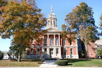
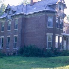
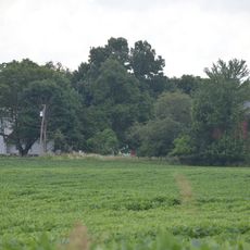
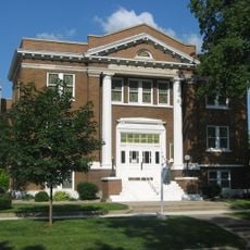
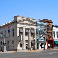
Marshall County is an administrative division in northern Indiana featuring lakes, wetlands, and farmland across its landscape. Plymouth serves as the county seat, housing the main governmental offices that serve the region.
The county was established in 1835 and named after John Marshall, who served as Chief Justice of the U.S. Supreme Court. This founding created an official administrative structure for the region.
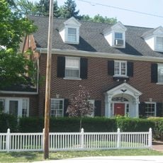
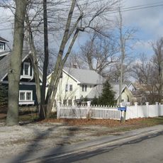
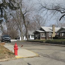
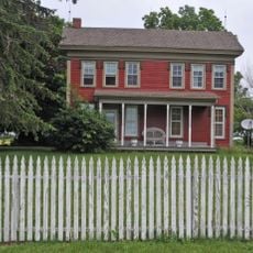
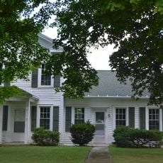
Early settlers from New England brought farming traditions that still shape how communities are organized across the region today. You can see these roots in the way small towns are laid out and in the agricultural practices that remain central to local life.
Plymouth is where to find administrative services and information about the county. The area is best explored by car since communities and attractions are spread across the region.
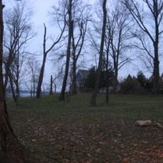
Lake Maxinkuckee, the state's second largest natural lake, sits within the county boundaries and has deep ties to local heritage. This lake draws visitors interested in water activities and offers a window into the area's past.
Location: Indiana
Inception: February 7, 1835
Capital city: Plymouth
Shares border with: St. Joseph County, Elkhart County, Kosciusko County, Fulton County, Pulaski County, Starke County
Website: http://co.marshall.in.us
GPS coordinates: 41.33000,-86.26000
Latest update: December 7, 2025 19:29
Arthur Miller House
25.1 km
Chief Menominee Memorial Site
9.4 km
Bremen Water Tower
16 km
Plymouth Downtown Historic District
4.3 km
Bert Leedy Round Barn
24.8 km
Argos Downtown Historic District
10.5 km
Marshall County Courthouse
4.5 km
Dietrich-Bowen House
16.3 km
Frank and Katharine Coppes House
25.2 km
Hoham-Klinghammer-Weckerle House and Brewery Site
5.8 km
East Shore Historic District
17.9 km
East Laporte Street Footbridge
3.9 km
Argos Izaak Walton League Historic District
10.9 km
Plymouth Northside Historic District
4.6 km
Bourbon Community Building-Gymnasium
12.6 km
Marshall County Infirmary
805 m
Nappanee West Park and Pavilion
24.9 km
Norris Farm-Maxinkuckee Orchard
16.4 km
Plymouth Southside Historic District
4.6 km
Jacoby Church
2.3 km
Forest Place Historic District
17.9 km
Lewis and Sarah Boggs House
6.3 km
Woodbank
19.1 km
Erwin House
14.7 km
Gaskill-Erwin Farm
14.7 km
John Haimbaugh Round Barn
25 km
Thomson Bridge
4.7 km
Starke County Bridge 700E
25.7 kmVisited this place? Tap the stars to rate it and share your experience / photos with the community! Try now! You can cancel it anytime.
Discover hidden gems everywhere you go!
From secret cafés to breathtaking viewpoints, skip the crowded tourist spots and find places that match your style. Our app makes it easy with voice search, smart filtering, route optimization, and insider tips from travelers worldwide. Download now for the complete mobile experience.
A unique approach to discovering new places❞
— Le Figaro
All the places worth exploring❞
— France Info
A tailor-made excursion in just a few clicks❞
— 20 Minutes