Pulaski County

Log in to your account

AroundUs is a community-driven map of interesting places, built by curious explorers like you. It grows with every review, story, and photo you share.
Connect to save your favorite spots, contribute locations, and create personalized routes.
By continuing, you accept our Terms and Conditions and our Privacy Policy
Add to collection
Map
Suggest a change
Share

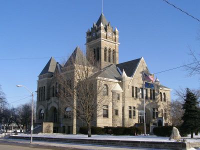
Pulaski County, County seat with administrative functions in northern Indiana, United States.
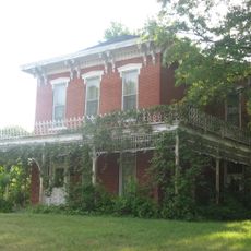
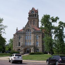
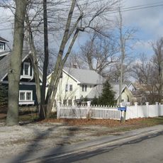
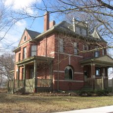
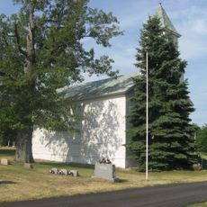
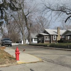
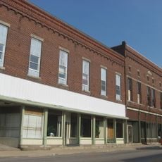
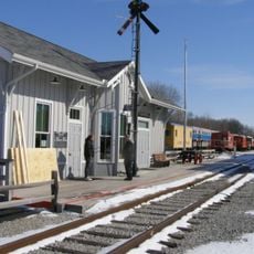
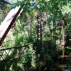
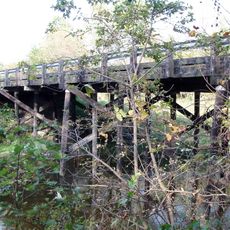
Pulaski County extends across 434 square miles of terrain in Indiana, containing four incorporated towns and multiple unincorporated communities.

The county received its official establishment on February 7, 1835, marking an important phase in Indiana's territorial development and administrative organization.

Four distinct school districts operate within Pulaski County borders, providing educational services through Eastern Pulaski, West Central, Culver, and North Judson-San Pierre systems.
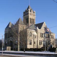
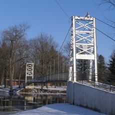
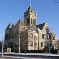
Winamac, the county seat, maintains the Pulaski Memorial Hospital with 25 beds for medical services to residents across the region.

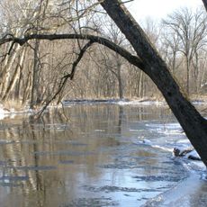
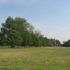
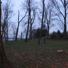
The county territory consists of 433.65 square miles of land and 0.88 square miles of water, supporting agricultural activities and residential communities.

Location: Indiana

Inception: February 7, 1835

Capital city: Winamac

Shares border with: Starke County, Marshall County, Fulton County, Cass County, White County, Jasper County

Website: http://pulaskionline.org

GPS coordinates: 41.04000,-86.69000

Latest update: March 4, 2025 22:17

Around this place
Show the full map
Indiana Beach
United States of America

Indiana Beach

28.6 km
Steel Hawg
United States of America

Steel Hawg

28.9 km
Tippecanoe River State Park
United States of America

Tippecanoe River State Park

12.8 km
Lost Coaster of Superstition Mountain
United States of America

Lost Coaster of Superstition Mountain

28.8 km
Cornball Express
United States of America

Cornball Express

28.7 km
Hoosier Hurricane
United States of America

Hoosier Hurricane

28.6 km
Tig'rr Coaster
United States of America

Tig'rr Coaster

28.6 km
James Culbertson Reynolds House
United States of America

James Culbertson Reynolds House

32.9 km
Starke County Courthouse
United States of America

Starke County Courthouse

29.4 km
The Whistle Stop / Monon Connection Museum
United States of America

The Whistle Stop / Monon Connection Museum

22.5 km
Monticello Carnegie Library
United States of America

Monticello Carnegie Library

33.4 km
Tepicon Hall
United States of America

Tepicon Hall

14.6 km
East Shore Historic District
United States of America

East Shore Historic District

30.9 km
Dr. George W. Thompson House
United States of America

Dr. George W. Thompson House

7.2 km
Pulaski County Courthouse
United States of America

Pulaski County Courthouse

7.3 km
White County Asylum
United States of America

White County Asylum

29.4 km
Independence Methodist Church
United States of America

Independence Methodist Church

22 km
Starke County Bridge No. 39
United States of America

Starke County Bridge No. 39

29.5 km
Monterey Bandstand
United States of America

Monterey Bandstand

22.1 km
Pulaski County Home
United States of America

Pulaski County Home

6.2 km
Forest Place Historic District
United States of America

Forest Place Historic District

30.5 km
Monon Commercial Historic District
United States of America

Monon Commercial Historic District

25.4 km
Woodbank
United States of America

Woodbank

30 km
Hoosier Valley Railroad Museum
United States of America

Hoosier Valley Railroad Museum

21.2 km
Dog Face Bridge
United States of America

Dog Face Bridge

29.3 km
Starke County Bridge 700E
United States of America

Starke County Bridge 700E

29.8 km
Memorial Bridge
United States of America

Memorial Bridge

7.8 km
Little Monon Creek Bridge
United States of America

Little Monon Creek Bridge

25.6 km
Show the full map

Reviews

Visited this place? Tap the stars to rate it and share your experience / photos with the community! Try now! You can cancel it anytime.

Administrative divisions
« Pulaski County - County seat with administrative functions in northern Indiana, United States » is provided by Around Us (aroundus.com). Images and texts are derived from Wikimedia project under a Creative Commons license. You are allowed to copy, distribute, and modify copies of this page, under the conditions set by the license, as long as this note is clearly visible.

Discover hidden gems everywhere you go!

From secret cafés to breathtaking viewpoints, skip the crowded tourist spots and find places that match your style. Our app makes it easy with voice search, smart filtering, route optimization, and insider tips from travelers worldwide. Download now for the complete mobile experience.

Around Us App Screenshot

A unique approach to discovering new places

Le Figaro

All the places worth exploring

France Info

A tailor-made excursion in just a few clicks

20 Minutes