Sullivan County

Log in to your account

AroundUs is a community-driven map of interesting places, built by curious explorers like you. It grows with every review, story, and photo you share.
Connect to save your favorite spots, contribute locations, and create personalized routes.
Continue with Google
Continue with Apple
Continue with X
Continue with Facebook
Continue with email
By continuing, you accept our Terms and Conditions and our Privacy Policy
Create an account
Add to collection
Map
Suggest a change
Share

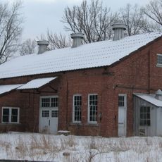
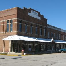
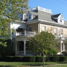
Sullivan County, Administrative division in Indiana, US

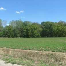
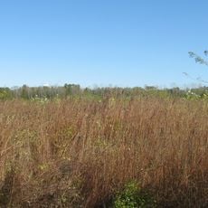
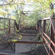
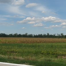
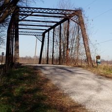
Sullivan County is an administrative county in western Indiana with the Wabash River forming its western boundary. Numerous creeks and waterways run through the land, shaping the natural landscape of the entire region.

The county was created on December 30, 1816, from parts of Knox County, making it one of the earliest administrative divisions formed after Indiana joined the United States. This early establishment shaped how the western territories were organized.

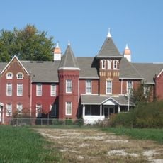
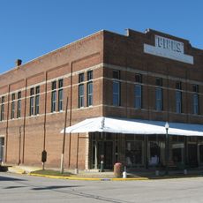
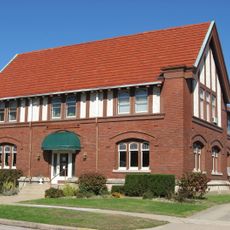
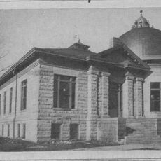
The Sullivan County Historical Museum displays local objects and documents that help visitors understand how the region developed over time. Walking through the exhibits gives a sense of how people here lived and what mattered to them across different eras.

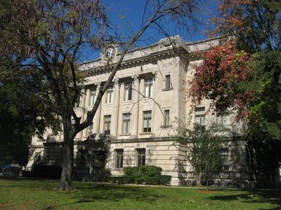
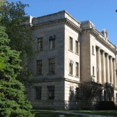
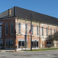
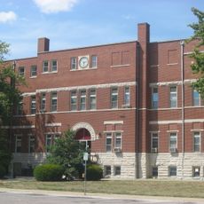
The county courthouse at 100 Courthouse Square handles all administrative services including property records and government operations. Visitors can go there to access public documents or ask questions about land records and official matters.

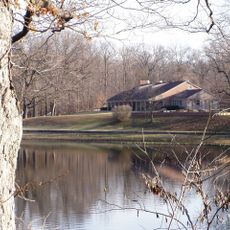
Sullivan County Park contains a sizable reservoir that serves double duty as both a water supply and a recreational spot for fishing and boating. This body of water is often overlooked by travelers but offers quiet places to spend time outdoors.

Location: Indiana

Inception: December 30, 1816

Capital city: Sullivan

Shares border with: Vigo County, Knox County, Clay County, Greene County, Clark County, Crawford County

Website: http://sullivancountyindiana.us

GPS coordinates: 39.09000,-87.41000

Latest update: December 7, 2025 20:47

Photos
Around this place
Shakamak State Park
United States of America

Shakamak State Park

17.2 km
Lincoln Trail State Park
United States of America

Lincoln Trail State Park

39 km
Hutsonville Bridge
United States of America

Hutsonville Bridge

21.3 km
Stoner Site
United States of America

Stoner Site

22 km
Riverton Site
United States of America

Riverton Site

16.2 km
American Trust and Savings Bank
United States of America

American Trust and Savings Bank

19 km
Sullivan County Poor Home
United States of America

Sullivan County Poor Home

2.5 km
Sullivan County Courthouse
United States of America

Sullivan County Courthouse

588 m
Aqueduct Bridge
United States of America

Aqueduct Bridge

33 km
Swan Island Site
United States of America

Swan Island Site

28.6 km
Fife Opera House
United States of America

Fife Opera House

20.1 km
Harlan Hall
United States of America

Harlan Hall

41.4 km
Tide Water Pumping Station
United States of America

Tide Water Pumping Station

35.6 km
Frank Senour Round Barn
United States of America

Frank Senour Round Barn

28.4 km
John B. Harper House
United States of America

John B. Harper House

19.9 km
Crawford County Courthouse
United States of America

Crawford County Courthouse

30 km
Linton Public Library Building
United States of America

Linton Public Library Building

22.1 km
Linton Commercial Historic District
United States of America

Linton Commercial Historic District

22 km
Shelburn Interurban Depot-THI&E Interurban Depot
United States of America

Shelburn Interurban Depot-THI&E Interurban Depot

9.9 km
Manly-McCann House
United States of America

Manly-McCann House

41.3 km
Alfred Simonson House
United States of America

Alfred Simonson House

34 km
Palestine Commercial Historic District
United States of America

Palestine Commercial Historic District

20.1 km
Sherman Building
United States of America

Sherman Building

602 m
John W. Lewis House
United States of America

John W. Lewis House

41.2 km
Sullivan County Public Library
United States of America

Sullivan County Public Library

693 m
Black Creek Bridge
United States of America

Black Creek Bridge

18.9 km
Busseron Creek Bridge
United States of America

Busseron Creek Bridge

9 km
Hamilton Bridge
United States of America

Hamilton Bridge

5.6 km
Show the full map
Reviews

Visited this place? Tap the stars to rate it and share your experience / photos with the community! Try now! You can cancel it anytime.

Administrative divisions
« Sullivan County - Administrative division in Indiana, US » is provided by Around Us (aroundus.com). Images and texts are derived from Wikimedia project under a Creative Commons license. You are allowed to copy, distribute, and modify copies of this page, under the conditions set by the license, as long as this note is clearly visible.

Discover hidden gems everywhere you go!

From secret cafés to breathtaking viewpoints, skip the crowded tourist spots and find places that match your style. Our app makes it easy with voice search, smart filtering, route optimization, and insider tips from travelers worldwide. Download now for the complete mobile experience.

Around Us App Screenshot

A unique approach to discovering new places

Le Figaro

All the places worth exploring

France Info

A tailor-made excursion in just a few clicks

20 Minutes