Daviess County

Log in to your account

AroundUs is a community-driven map of interesting places, built by curious explorers like you. It grows with every review, story, and photo you share.
Connect to save your favorite spots, contribute locations, and create personalized routes.
Continue with Google
Continue with Apple
Continue with X
Continue with Facebook
Continue with email
By continuing, you accept our Terms and Conditions and our Privacy Policy
Create an account
Add to collection
Map
Suggest a change
Share

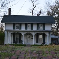
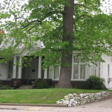
Daviess County, Administrative county in southern Indiana, United States.

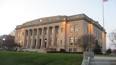
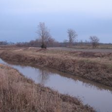
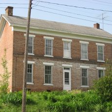
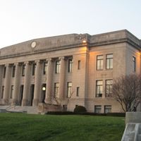
Daviess County is an administrative region in southern Indiana that spreads across agricultural land, rolling hills, and several water bodies. The county seat in Washington serves as the center of local government operations.

This region was established in 1816 and named after Major Joseph Hamilton Daveiss, a military officer who died in an early battle of American westward expansion. The creation of the county reflected the period of settlement and territorial organization in the Midwest.

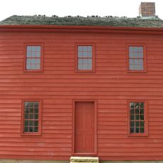
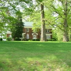
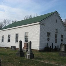
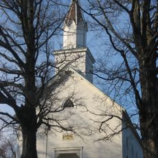
The eastern communities here are home to a Swiss Amish settlement whose members you can see living without modern technology, traveling by horse and buggy through the countryside. This population has shaped the local way of life and visible landscape for generations.

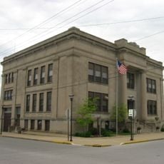
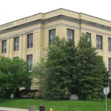
Washington is the main hub where you will find county services and visitor information. A car is helpful for exploring the different communities and rural areas throughout the region.

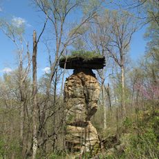
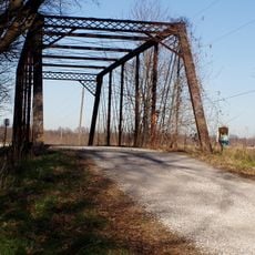
Early timber operations here supplied wood to communities across the region during the 1800s before farming became the primary use of the land. Remnants of those forests still dot the countryside today.

Location: Indiana

Inception: December 24, 1816

Capital city: Washington

Shares border with: Greene County, Knox County, Martin County, Dubois County, Pike County

Website: http://daviess.org

GPS coordinates: 38.70000,-87.08000

Latest update: December 7, 2025 20:21

Photos
Around this place
Jug Rock
United States of America

Jug Rock

24.4 km
Pyramid Mound
United States of America

Pyramid Mound

37.2 km
Indiana Territorial Capitol
United States of America

Indiana Territorial Capitol

38.7 km
Prairie Creek Site
United States of America

Prairie Creek Site

7.7 km
Shadowwood
United States of America

Shadowwood

29.4 km
Robert C. Graham House
United States of America

Robert C. Graham House

9.5 km
Dr. Nelson Wilson House
United States of America

Dr. Nelson Wilson House

9.8 km
Vincennes Fortnightly Club
United States of America

Vincennes Fortnightly Club

38.8 km
Dubois County Courthouse
United States of America

Dubois County Courthouse

36.7 km
Gramelspacher–Gutzweiler House
United States of America

Gramelspacher–Gutzweiler House

36.3 km
Richland-Plummer Creek Covered Bridge
United States of America

Richland-Plummer Creek Covered Bridge

34.8 km
Shiloh Presbyterian Church
United States of America

Shiloh Presbyterian Church

34.7 km
Hack and Simon Office Building
United States of America

Hack and Simon Office Building

38.3 km
Evangelische Lutherische Emanuels Kirche
United States of America

Evangelische Lutherische Emanuels Kirche

34.3 km
County Bridge No. 45
United States of America

County Bridge No. 45

16.9 km
Lemmon Presbyterian Church
United States of America

Lemmon Presbyterian Church

23.5 km
Martin County Courthouse
United States of America

Martin County Courthouse

24.8 km
Daviess County Courthouse
United States of America

Daviess County Courthouse

9.3 km
Magnus J. Carnahan House
United States of America

Magnus J. Carnahan House

9.2 km
Thomas Faith House
United States of America

Thomas Faith House

8.3 km
Dr. John A. Scudder House
United States of America

Dr. John A. Scudder House

9 km
Washington Commercial Historic District
United States of America

Washington Commercial Historic District

9.3 km
Pike County Courthouse
United States of America

Pike County Courthouse

28.9 km
Alfred Simonson House
United States of America

Alfred Simonson House

19.2 km
The Red Skelton Museum of American Comedy
United States of America

The Red Skelton Museum of American Comedy

38 km
Dubois County Museum Inc
United States of America

Dubois County Museum Inc

34.3 km
Black Creek Bridge
United States of America

Black Creek Bridge

37 km
Loogootee City Pool
United States of America

Loogootee City Pool

14.4 km
Show the full map
Reviews

Visited this place? Tap the stars to rate it and share your experience / photos with the community! Try now! You can cancel it anytime.

Administrative divisions
« Daviess County - Administrative county in southern Indiana, United States » is provided by Around Us (aroundus.com). Images and texts are derived from Wikimedia project under a Creative Commons license. You are allowed to copy, distribute, and modify copies of this page, under the conditions set by the license, as long as this note is clearly visible.

Discover hidden gems everywhere you go!

From secret cafés to breathtaking viewpoints, skip the crowded tourist spots and find places that match your style. Our app makes it easy with voice search, smart filtering, route optimization, and insider tips from travelers worldwide. Download now for the complete mobile experience.

Around Us App Screenshot

A unique approach to discovering new places

Le Figaro

All the places worth exploring

France Info

A tailor-made excursion in just a few clicks

20 Minutes