Harrison County

Log in to your account

AroundUs is a community-driven map of interesting places, built by curious explorers like you. It grows with every review, story, and photo you share.
Connect to save your favorite spots, contribute locations, and create personalized routes.
Continue with Google
Continue with Apple
Continue with X
Continue with Facebook
Continue with email
By continuing, you accept our Terms and Conditions and our Privacy Policy
Create an account
Add to collection
Map
Suggest a change
Share

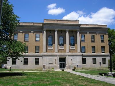
Harrison County, County seat and administrative division in southern Indiana, United States

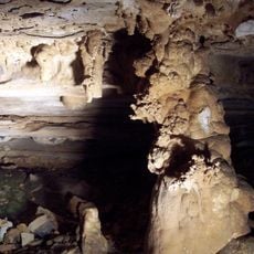
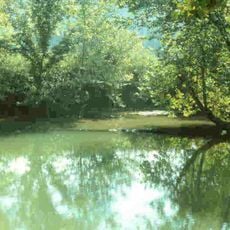
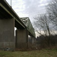
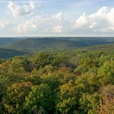
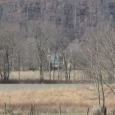
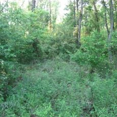
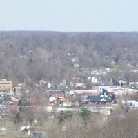
Harrison County stretches along the Ohio River with farmland, forests, and limestone formations throughout. The area contains diverse terrain where river valleys meet wooded ridges and open countryside.

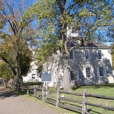
The county was established in 1808 and served as Indiana's territorial capital from 1813 to 1825. This period shaped the region's early development and its role in the state's founding.

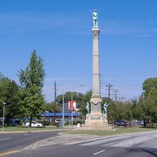
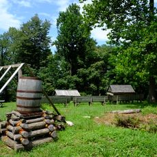
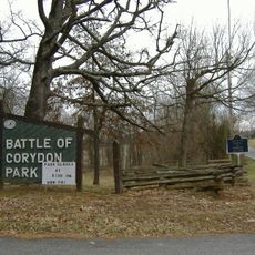
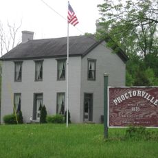
The name honors President William Henry Harrison, who fought and lived in the region. Visitors can trace this connection at various historical sites scattered throughout the area.

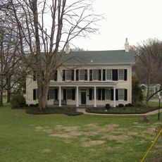
The county is well-connected by roads with easy access to various towns and natural areas. Visitors find several museums, historical sites, and parks distributed throughout the region.

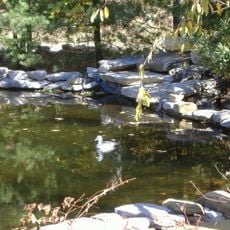
Harrison Spring, a natural spring within the county, produces over three million gallons of water daily. This spring is the state's largest natural spring and has served as a water resource for many generations.

Location: Indiana

Inception: October 11, 1808

Capital city: Corydon

Shares border with: Washington County, Floyd County, Jefferson County, Hardin County, Meade County, Crawford County

Website: http://harrisoncounty.in.gov

GPS coordinates: 38.20000,-86.12000

Latest update: December 23, 2025 06:10

Photos
Around this place
Confederate Monument in Louisville
United States of America

Confederate Monument in Louisville

22.2 km
Wyandotte Caves
United States of America

Wyandotte Caves

15.7 km
United States of America

Squire Boone Caverns

15.1 km
Corydon Historic District
United States of America

Corydon Historic District

1.3 km
Fort Duffield
United States of America

Fort Duffield

27.8 km
Doe Run Inn
United States of America

Doe Run Inn

26.7 km
O'Bannon Woods State Park
United States of America

O'Bannon Woods State Park

15.7 km
Harrison Spring
United States of America

Harrison Spring

10.4 km
Matthew E. Welsh Bridge
United States of America

Matthew E. Welsh Bridge

21.5 km
United States of America

Buffalo Trace Park

23.4 km
Harrison–Crawford State Forest
United States of America

Harrison–Crawford State Forest

15.7 km
Kintner-Withers House
United States of America

Kintner-Withers House

25.7 km
Swan's Landing Archeological Site
United States of America

Swan's Landing Archeological Site

15.1 km
Kintner House Hotel
United States of America

Kintner House Hotel

1.3 km
Corydon Battle Site
United States of America

Corydon Battle Site

832 m
Kintner-McGrain House
United States of America

Kintner-McGrain House

2.1 km
Gabriel Farnsley House
United States of America

Gabriel Farnsley House

18.7 km
Simpson Memorial United Methodist Church
United States of America

Simpson Memorial United Methodist Church

22.3 km
Meade County Jail
United States of America

Meade County Jail

22.2 km
United States of America

Abraham Ditto House

27 km
Beard-Kerr Farm
United States of America

Beard-Kerr Farm

15.2 km
United States of America

Ditto-Prewitt House

27 km
Brandenburg Methodist Episcopal Church
United States of America

Brandenburg Methodist Episcopal Church

22.7 km
Georgetown Historic District
United States of America

Georgetown Historic District

16.5 km
Jersey Park Farm
United States of America

Jersey Park Farm

24.2 km
William Proctor House
United States of America

William Proctor House

26 km
Edward Yeakel House
United States of America

Edward Yeakel House

22.4 km
United States of America

Applegate-Fisher House

27 km
Show the full map
Reviews

Visited this place? Tap the stars to rate it and share your experience / photos with the community! Try now! You can cancel it anytime.

Administrative divisions
« Harrison County - County seat and administrative division in southern Indiana, United States » is provided by Around Us (aroundus.com). Images and texts are derived from Wikimedia project under a Creative Commons license. You are allowed to copy, distribute, and modify copies of this page, under the conditions set by the license, as long as this note is clearly visible.

Discover hidden gems everywhere you go!

From secret cafés to breathtaking viewpoints, skip the crowded tourist spots and find places that match your style. Our app makes it easy with voice search, smart filtering, route optimization, and insider tips from travelers worldwide. Download now for the complete mobile experience.

Around Us App Screenshot

A unique approach to discovering new places

Le Figaro

All the places worth exploring

France Info

A tailor-made excursion in just a few clicks

20 Minutes