Enable Location

We need your location to show you interesting places around you

Discover nearby places

Find interesting locations and hidden gems around you

Precise directions

Get accurate directions and distances to places

Your location is never shared with other users. It's only used when you tap the location button.

Corydon Battle Site

Log in to your account

Start exploring — it's free

Trusted by 63,009 travelers worldwide

Continue with Google
Continue with Apple
or

We will send you a code to connect

By continuing, you accept our Terms and Conditions and our Privacy Policy

Check your inbox

We've sent a pincode in your inbox. Please enter the code below.

Discussion Reviews 1 Photos
1.2k Popularity

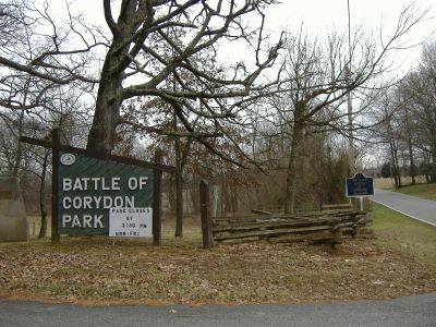
Corydon Battle Site, Civil War battlefield in Harrison County, Indiana.

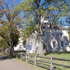
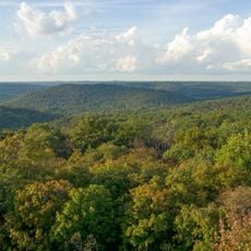
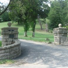
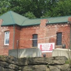
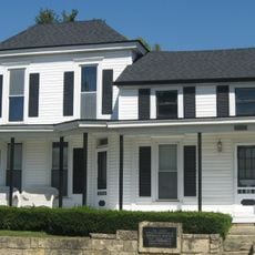
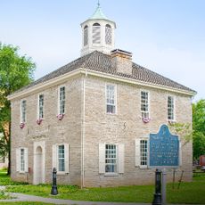
Corydon Battle Site is a protected area in Harrison County where Confederate and Union forces fought during Morgan's Raid in 1863. The grounds preserve the original landscape with interpretive displays, monuments, and a restored log cabin that document what occurred.

The engagement took place on July 9, 1863, when local militia faced an invading Confederate force during a significant raid through multiple states. This clash demonstrated the reach of Confederate operations into Union territory and the risks facing border communities.

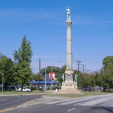
The site features interpretive displays and monuments that reflect how this Civil War engagement shaped local memory and community identity in southern Indiana. Visitors can see how the battle became part of the region's historical narrative and local pride.

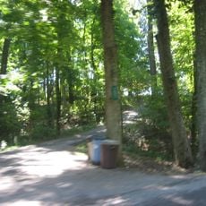
The grounds are accessible daily and feature interpretive displays positioned throughout the battlefield area. Visitors should wear comfortable shoes, as the terrain is uneven and exploration is done on foot.

This was the site of the northernmost Confederate engagement on Indiana soil, where ordinary citizens and local militia defended against a well-organized invading force. The involvement of community members made this clash different from many conventional military battles.

The community of curious travelers

AroundUs brings together thousands of curated places, local tips, and hidden gems, enriched daily by 60,000 contributors worldwide.

Start exploring
Location
GPS coordinates
38.19970,-86.12950
Latest update
December 14, 2025 18:01
Around this place
Confederate Monument in Louisville
United States of America

Confederate Monument in Louisville

22 km
Wyandotte Caves
United States of America

Wyandotte Caves

14.9 km
Corydon Historic District
United States of America

Corydon Historic District

1.4 km
O'Bannon Woods State Park
United States of America

O'Bannon Woods State Park

14.9 km
Harrison Spring
United States of America

Harrison Spring

9.7 km
Matthew E. Welsh Bridge
United States of America

Matthew E. Welsh Bridge

21.2 km
Louisville Falls Fountain
United States of America

Louisville Falls Fountain

25.2 km
Riverside, The Farnsley-Moremen Landing
United States of America

Riverside, The Farnsley-Moremen Landing

23.3 km
Chickasaw Park
United States of America

Chickasaw Park

26.5 km
Harrison–Crawford State Forest
United States of America

Harrison–Crawford State Forest

14.9 km
Kintner-Withers House
United States of America

Kintner-Withers House

25.8 km
Swan's Landing Archeological Site
United States of America

Swan's Landing Archeological Site

14.4 km
Kintner-McGrain House
United States of America

Kintner-McGrain House

2.1 km
Woodbine
United States of America

Woodbine

26.4 km
Gabriel Farnsley House
United States of America

Gabriel Farnsley House

19.5 km
Simpson Memorial United Methodist Church
United States of America

Simpson Memorial United Methodist Church

22.8 km
Meade County Jail
United States of America

Meade County Jail

22 km
Brandenburg Methodist Episcopal Church
United States of America

Brandenburg Methodist Episcopal Church

22.5 km
Georgetown Historic District
United States of America

Georgetown Historic District

17.1 km
Jersey Park Farm
United States of America

Jersey Park Farm

24.7 km
Riverside, the Farnsley-Moremen Landing
United States of America

Riverside, the Farnsley-Moremen Landing

23.3 km
William Proctor House
United States of America

William Proctor House

25.4 km
Edward Yeakel House
United States of America

Edward Yeakel House

22.3 km
Brandenburg Commercial District
United States of America

Brandenburg Commercial District

22.2 km
Jones-Willis House
United States of America

Jones-Willis House

22.3 km
Corydon Capitol State Historic Site
United States of America

Corydon Capitol State Historic Site

1.5 km
Georgetown Drive-In
United States of America

Georgetown Drive-In

18.2 km
Mill Creek Bridge
United States of America

Mill Creek Bridge

26.5 km
Show the full map
Reviews
Share your experience

No review yet

Discussions
Start a discussion...

No discussion yet

« Corydon Battle Site - Civil War battlefield in Harrison County, Indiana » is provided by Around Us (aroundus.com). Images and texts are derived from Wikimedia project under a Creative Commons license. You are allowed to copy, distribute, and modify copies of this page, under the conditions set by the license, as long as this note is clearly visible.

Discover hidden gems everywhere you go!

From secret cafés to breathtaking viewpoints, skip the crowded tourist spots and find places that match your style. Our app makes it easy with voice search, smart filtering, route optimization, and insider tips from travelers worldwide. Download now for the complete mobile experience.

Around Us App Screenshot

A unique approach to discovering new places

Le Figaro

All the places worth exploring

France Info

A tailor-made excursion in just a few clicks

20 Minutes

Around Us
Travel Guide & Maps
Download

Send to your phone

QR Code
1

Open the camera app on your mobile.

2

Point at the QR code with your camera. A notification will appear.

3

Tap the notification to open the link.