·

Enable Location

We need your location to show you interesting places around you

Discover nearby places

Find interesting locations and hidden gems around you

Precise directions

Get accurate directions and distances to places

Your location is never shared with other users. It's only used when you tap the location button.

Dearborn County

Log in to your account

Start exploring — it's free

Trusted by 62,690 travelers worldwide

Continue with Google
Continue with Apple
or

We will send you a code to connect

By continuing, you accept our Terms and Conditions and our Privacy Policy

Check your inbox

We've sent a pincode in your inbox. Please enter the code below.

Dearborn County, County seat in Cincinnati metropolitan area, United States

Dearborn County is a county in southeastern Indiana bordering Ohio, with the Ohio River forming its southeastern edge. Lawrenceburg serves as its county seat and administrative center.

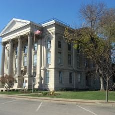
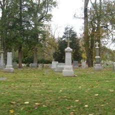
The county was founded in 1803 and named after Henry Dearborn, who served as United States Secretary of War. It grew as a trading and administrative center during the 1800s as settlement pushed westward.

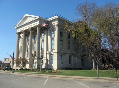
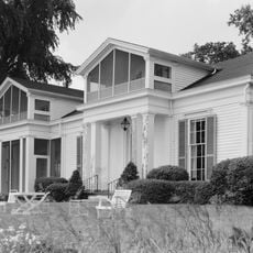
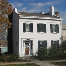
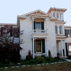
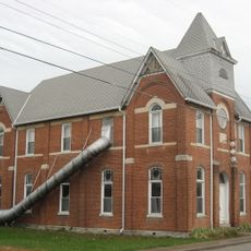
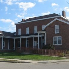
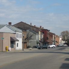
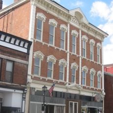
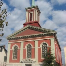
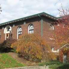
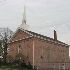
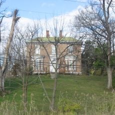
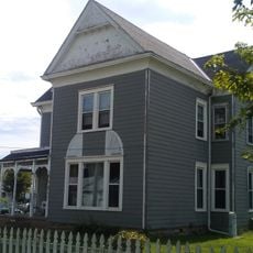
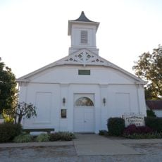
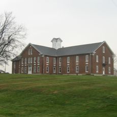
The downtown area displays Federal and Greek Revival buildings from the early 1800s alongside Queen Anne and Bungalow homes from around 1900. These structures shape the character of the town center and show how different eras sit side by side.

Lawrenceburg sits directly on Interstate 74, making it easy to reach from Cincinnati and other nearby cities. The town center is walkable and most places of interest are accessible by car.

Between 1811 and 1845, the original territory was subdivided seven times to create new counties. These divisions reveal how quickly the region grew and how new administrative areas were established on the expanding frontier.

The community of curious travelers

AroundUs brings together thousands of curated places, local tips, and hidden gems, enriched daily by 60,000 contributors worldwide.

Start exploring
Location
Inception
1803
Capital city
Lawrenceburg
Part of
Cincinnati metropolitan area
Shares border with
Franklin County, Butler County, Hamilton County, Boone County, Ohio County, Ripley County
GPS coordinates
39.15000,-84.98000
Latest update
December 7, 2025 10:07
Around this place
Carroll Lee Cropper Bridge
United States of America

Carroll Lee Cropper Bridge

14.3 km
Hillforest
United States of America

Hillforest

12.7 km
Laughery Creek Bridge
United States of America

Laughery Creek Bridge

16.2 km
State Line Archeological District
United States of America

State Line Archeological District

13.9 km
Rabbit Hash Historic District
United States of America

Rabbit Hash Historic District

25.9 km
Carnegie Hall of Moores Hill College
United States of America

Carnegie Hall of Moores Hill College

10.6 km
Veraestau
United States of America

Veraestau

14 km
George Street Bridge
United States of America

George Street Bridge

12.4 km
Dearborn County Courthouse
United States of America

Dearborn County Courthouse

13 km
Levi Stevens House
United States of America

Levi Stevens House

12.8 km
River View Cemetery
United States of America

River View Cemetery

15.8 km
Prospect Farm
United States of America

Prospect Farm

14 km
First Presbyterian Church
United States of America

First Presbyterian Church

12.8 km
First Evangelical United Church of Christ
United States of America

First Evangelical United Church of Christ

12.9 km
Milan Masonic Lodge No. 31
United States of America

Milan Masonic Lodge No. 31

13.4 km
Downtown Aurora Historic District
United States of America

Downtown Aurora Historic District

12.7 km
Vance-Tousey House
United States of America

Vance-Tousey House

12.7 km
Downtown Lawrenceburg Historic District
United States of America

Downtown Lawrenceburg Historic District

13 km
Leive, Parks and Stapp Opera House
United States of America

Leive, Parks and Stapp Opera House

12.5 km
First Methodist Church
United States of America

First Methodist Church

12.5 km
Aurora Public Library
United States of America

Aurora Public Library

12.4 km
Moores Hill United Methodist Church
United States of America

Moores Hill United Methodist Church

10.2 km
Hamline Chapel United Methodist Church
United States of America

Hamline Chapel United Methodist Church

13.2 km
Daniel S. Major House
United States of America

Daniel S. Major House

11.2 km
James Rogers House
United States of America

James Rogers House

22.7 km
Christian Meeting House
United States of America

Christian Meeting House

13.2 km
Boone County Distillery Superintendent's House and Guest House
United States of America

Boone County Distillery Superintendent's House and Guest House

13 km
Dearborn County Asylum for the Poor
United States of America

Dearborn County Asylum for the Poor

4.7 km
Show the full map
Administrative divisions
« Dearborn County - County seat in Cincinnati metropolitan area, United States » is provided by Around Us (aroundus.com). Images and texts are derived from Wikimedia project under a Creative Commons license. You are allowed to copy, distribute, and modify copies of this page, under the conditions set by the license, as long as this note is clearly visible.

Discover hidden gems everywhere you go!

From secret cafés to breathtaking viewpoints, skip the crowded tourist spots and find places that match your style. Our app makes it easy with voice search, smart filtering, route optimization, and insider tips from travelers worldwide. Download now for the complete mobile experience.

Around Us App Screenshot

A unique approach to discovering new places

Le Figaro

All the places worth exploring

France Info

A tailor-made excursion in just a few clicks

20 Minutes

Around Us
Travel Guide & Maps
Download

Send to your phone

QR Code
1

Open the camera app on your mobile.

2

Point at the QR code with your camera. A notification will appear.

3

Tap the notification to open the link.