State Line Archeological District, Archaeological district in Elizabethtown, Ohio, United States.
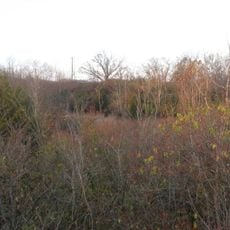
The State Line Archeological District is a historic site with five contributing properties spread across 8 acres near the border between Indiana and Ohio. This location contains remains of settlements including burial areas, hearth features, and pottery that document periods of Native American habitation.
The site contains artifacts from the Fort Ancient culture, with dating indicating settlement during the 13th century. This occupation represents a significant period in the development of societies living in this eastern region.
The Henry Bechtel Village section reveals patterns of how Native American communities lived and buried their dead in this area. These remains show how people organized themselves and performed important ceremonial practices.
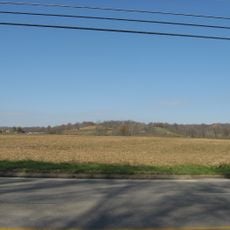
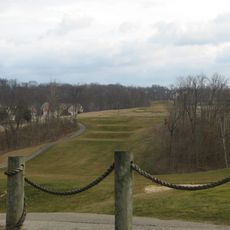
The area is rural and spread out, so it is best explored with adequate time and sturdy footwear. Since this is a protected archaeological site, it is helpful to check with local historical authorities to confirm access and current conditions before visiting.
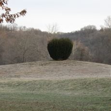
Three remaining burial mounds on the site display unusual pottery featuring owl head and human head designs from Mississippian times. These artworks are rare examples of how ancient artisans used symbolic imagery in their ceremonial objects.
The community of curious travelers
AroundUs brings together thousands of curated places, local tips, and hidden gems, enriched daily by 60,000 contributors worldwide.